drawing, print, ink, pen, engraving
#
drawing
#
baroque
#
pen drawing
# print
#
landscape
#
ink
#
pen
#
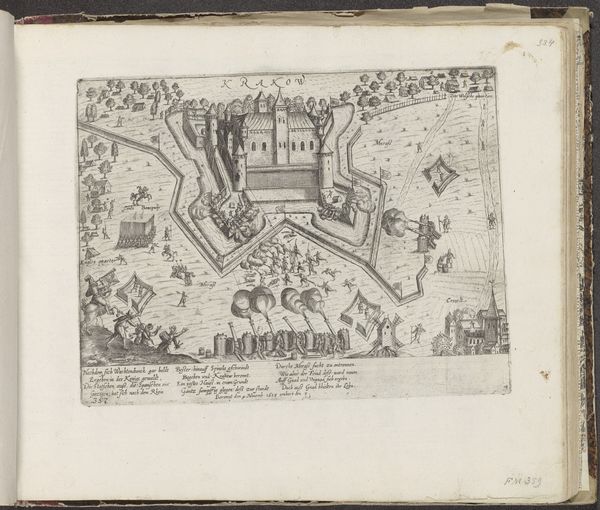
cityscape
#
engraving
Dimensions: height 458 mm, width 655 mm
Copyright: Rijks Museum: Open Domain
Philibert Bouttats made this map of Maarsseveen sometime before his death in 1708, using the technique of etching. The etched lines, holding the ink, define the boundaries of land ownership and agricultural production. We can see evidence of labor, in the form of fishermen and women carrying sheaves of wheat. Note the contrast between their material reality and the cherubic figures, and the armorial crest at the top, which speaks to the great disparities of wealth in the Netherlands at this time. Etching allowed for the relatively easy production of images, in contrast to the intensive labor required for hand-drawing each map. The abundance of etched maps in this era reflects the rising tide of commerce and the need to clearly delineate property for efficient resource extraction and capitalist expansion. Ultimately, understanding the techniques used to make this map helps us to consider the complex social dynamics present in the Dutch Golden Age.
Comments
No comments
Be the first to comment and join the conversation on the ultimate creative platform.
More like this