drawing, etching, paper, ink
#
drawing
#
toned paper
#
baroque
#
mechanical pen drawing
#
pen sketch
#
etching
#
paper
#
personal sketchbook
#
ink
#
ink drawing experimentation
#
geometric
#
pen-ink sketch
#
pen work
#
sketchbook drawing
#
cityscape
#
storyboard and sketchbook work
#
sketchbook art
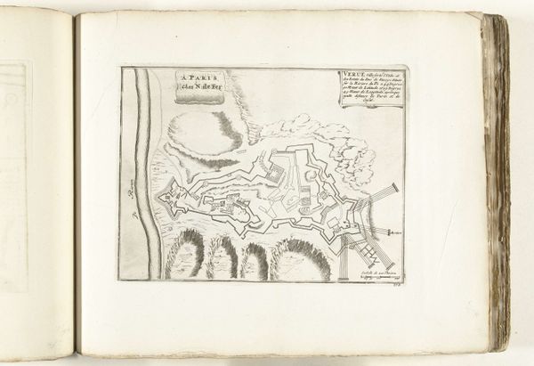
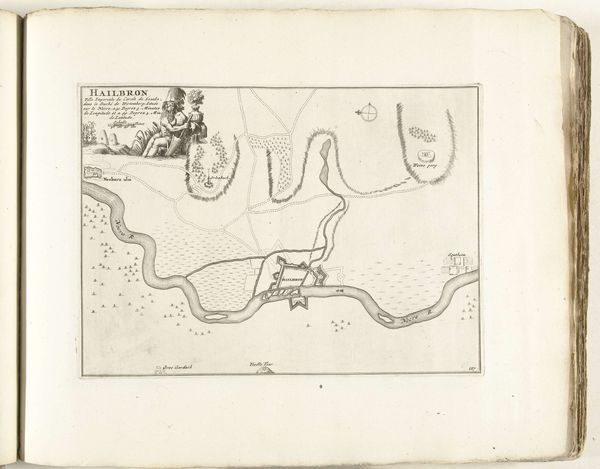
Dimensions: height 215 mm, width 281 mm
Copyright: Rijks Museum: Open Domain
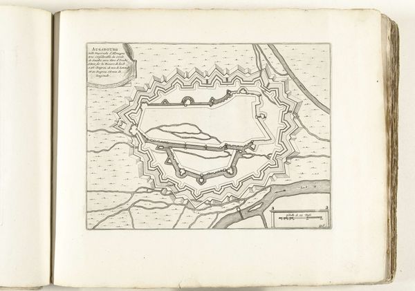
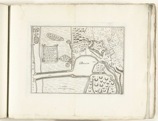
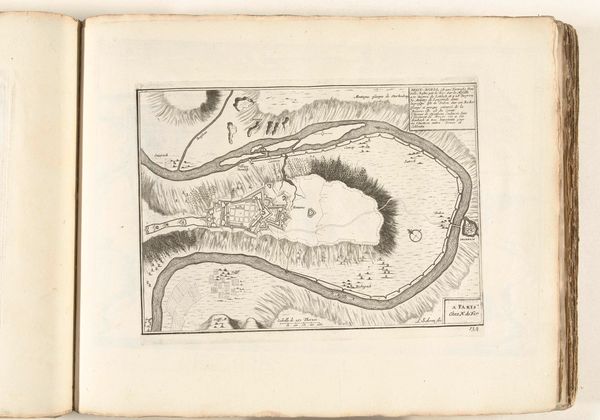
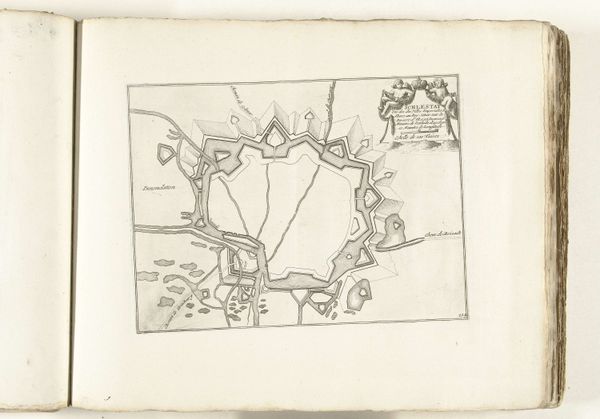
This is Laurens Scherm's "Plattegrond van Calais," a map of Calais made around 1702 using etching. It shows a bird's-eye view of the city, focusing on its fortifications. Maps such as these held immense political significance in the early 18th century. They weren't just about navigation; they were tools of power. In a time of frequent wars and shifting territories, accurate city plans like this one were crucial for military strategy. France, under Louis XIV, was a dominant force in Europe, and Calais was a key port city. The map highlights the city's defenses, reflecting the anxieties and priorities of the time. These images were carefully constructed, often emphasizing certain features to project strength. To truly understand this map, we need to delve into the history of cartography and warfare, examining archives and military records. Maps offer a fascinating intersection of art, science, and politics, revealing how societies perceive and shape their world.
Comments
No comments
Be the first to comment and join the conversation on the ultimate creative platform.
More like this