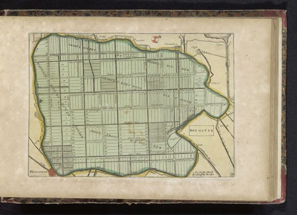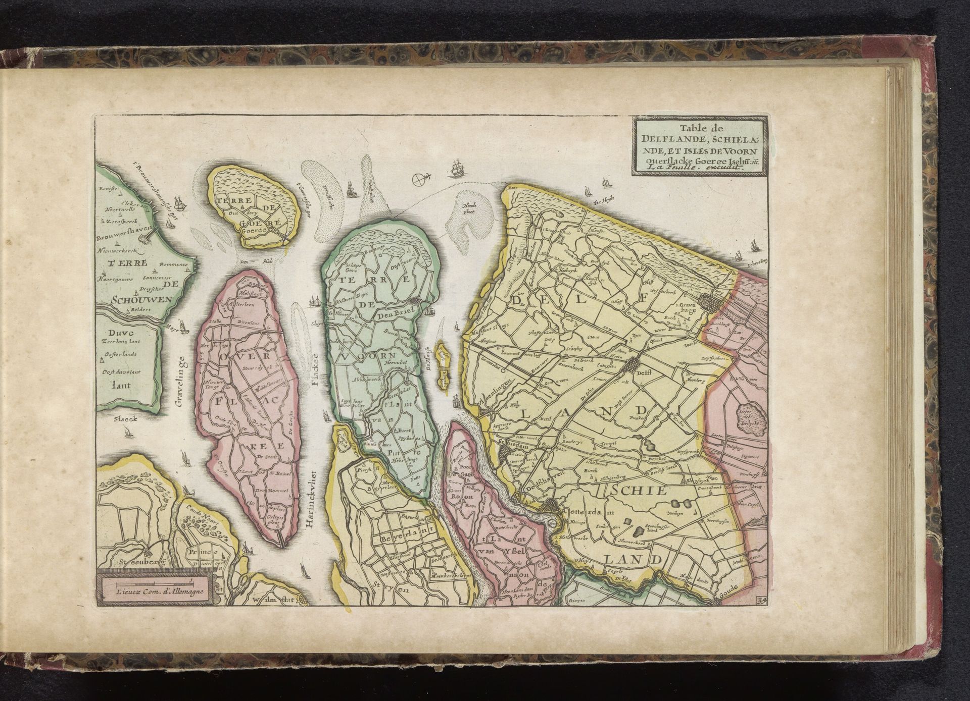
1700 - 1735
Kaart van Delfland en Schieland
Listen to curator's interpretation
Curatorial notes
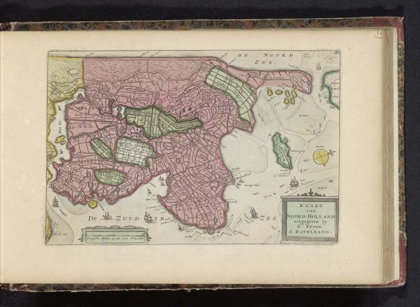
This is an undated, anonymous map of Delfland and Schieland, two regions in the Netherlands, created through engraving. Cartography wasn't just about navigation. It was deeply intertwined with power, identity, and how people understood their place in the world. Consider what it meant to map a territory during a time of shifting political landscapes. The detailed depiction of land could be about claiming space, asserting control, or even shaping a sense of collective identity for the inhabitants. The use of color here isn't just decorative; it’s strategic. Colors could denote different jurisdictions, highlight resources, or even carry symbolic meanings tied to cultural identities. The emotional experience of encountering such a map would vary greatly depending on who you were: a ruler, a merchant, or a common person. Maps are not neutral. This map offers a glimpse into how people visually and conceptually organized their world, reflecting both their ambitions and their anxieties.