drawing, print, paper, ink
#
drawing
#
baroque
# print
#
landscape
#
paper
#
ink
#
geometric
#
cityscape
Dimensions: height 242 mm, width 360 mm
Copyright: Rijks Museum: Open Domain
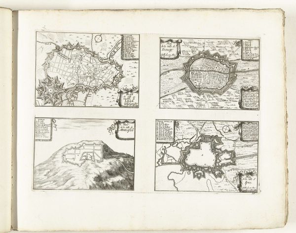
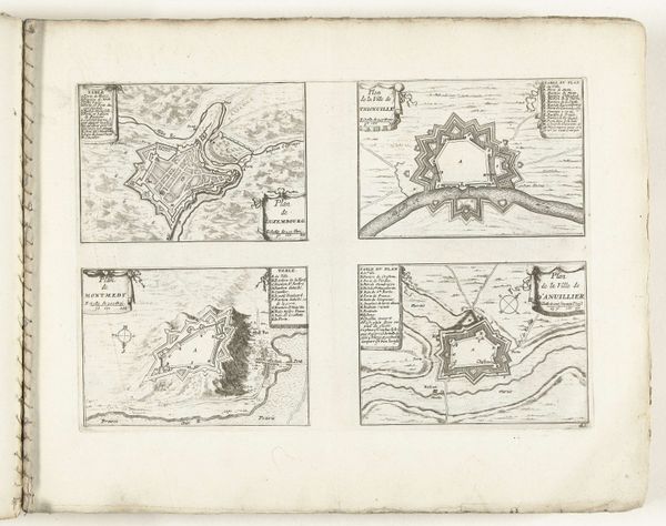
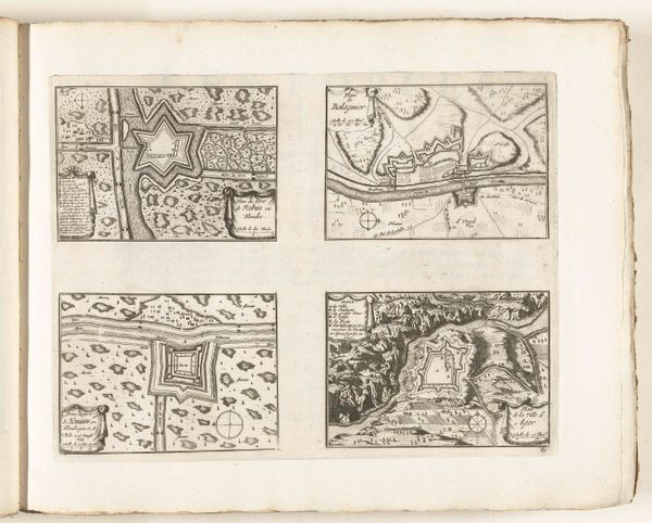
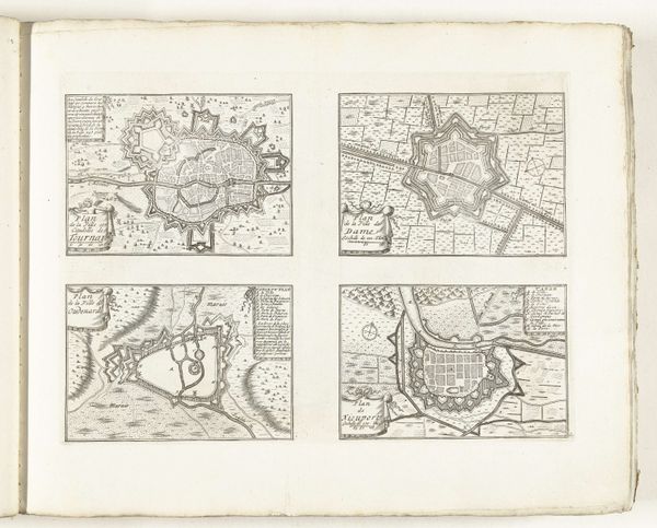
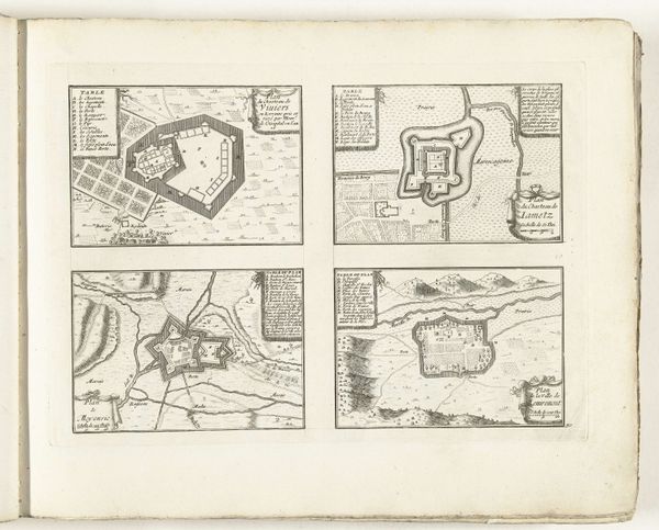
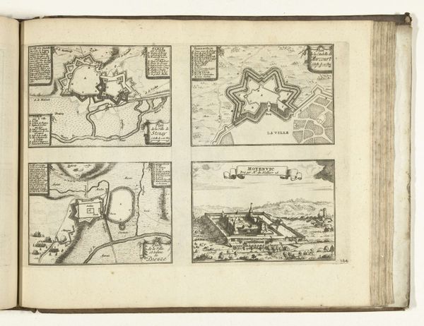
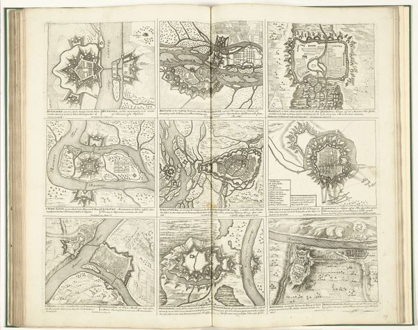
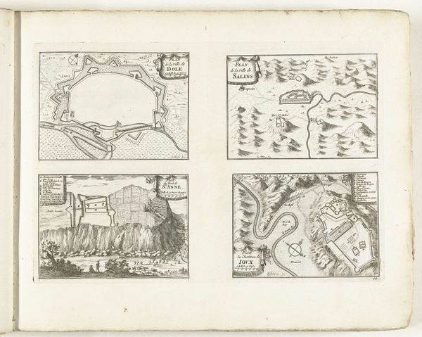
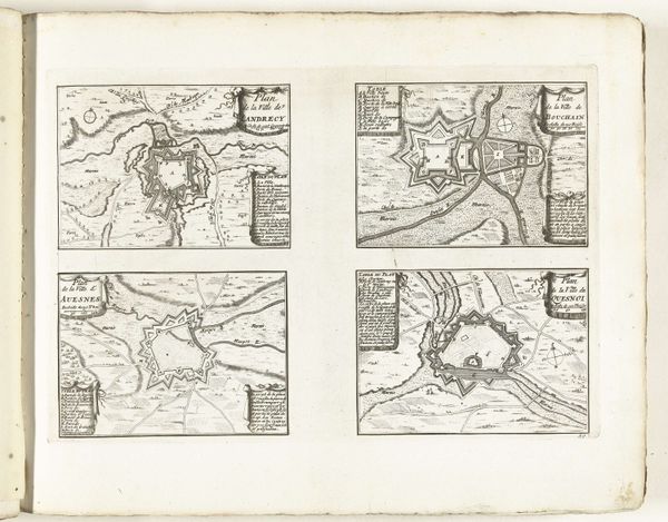
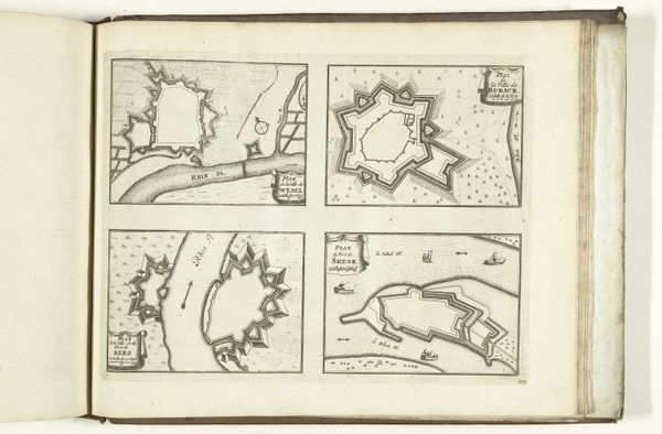
Laurens Scherm created this print of city plans around 1702. Executed in etching, the stark monochrome drawings emphasize geometric forms. The top two plans, of Seurre and Gray, show fortified cities enclosed by angular walls, each point designed to deflect invaders. These forms reduce urban space to pure geometry, a visual language of power and control. The circular plan of Besançon, in the lower-left, contrasts with the linear structures above, offering a different model of urban organization. The picturesque view of Besançon on the lower right uses linear perspective to give the illusion of depth and distance, yet it is flattened through abstraction. The print functions less as accurate cartography and more as symbolic representations of cities, each line and shape a signifier within the complex semiotics of urban planning and political ambition. It invites us to consider how such formal depictions both reflect and shape our understanding of space, power, and representation.
Comments
No comments
Be the first to comment and join the conversation on the ultimate creative platform.
More like this