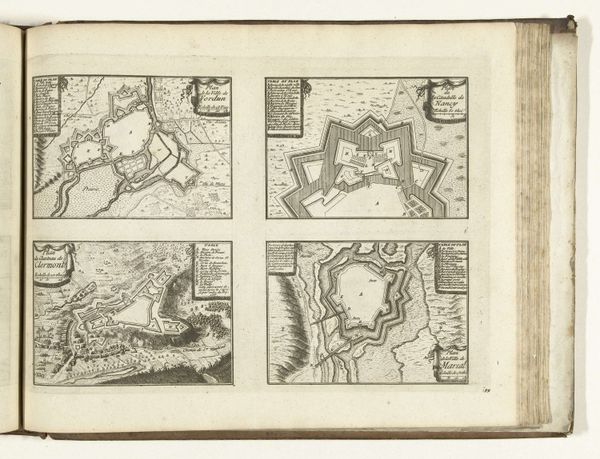
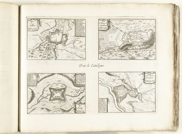
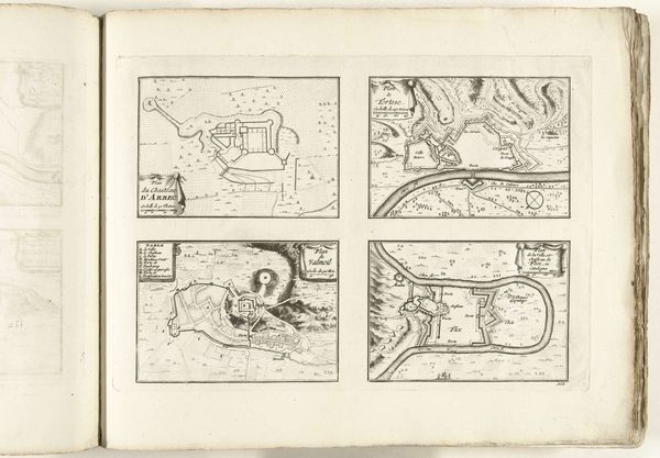
Plattegronden van Lillers en de forten Rebus, Ranty en Henuin, 1726 1726
0:00
0:00
anonymous
Rijksmuseum
drawing, print, paper, ink, engraving
#
drawing
#
aged paper
#
toned paper
#
baroque
# print
#
old engraving style
#
landscape
#
paper
#
personal sketchbook
#
ink
#
ink drawing experimentation
#
geometric
#
pen-ink sketch
#
pen and pencil
#
pen work
#
sketchbook drawing
#
cityscape
#
sketchbook art
#
engraving
Dimensions: height 300 mm, width 390 mm
Copyright: Rijks Museum: Open Domain
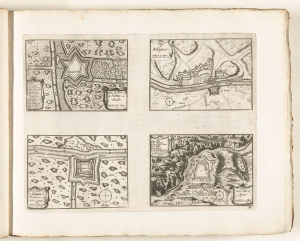
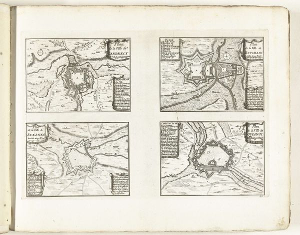
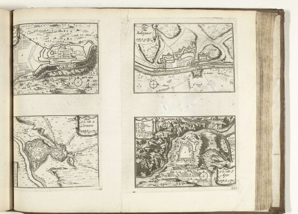
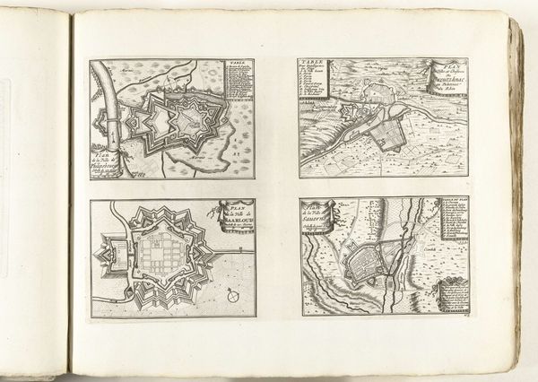
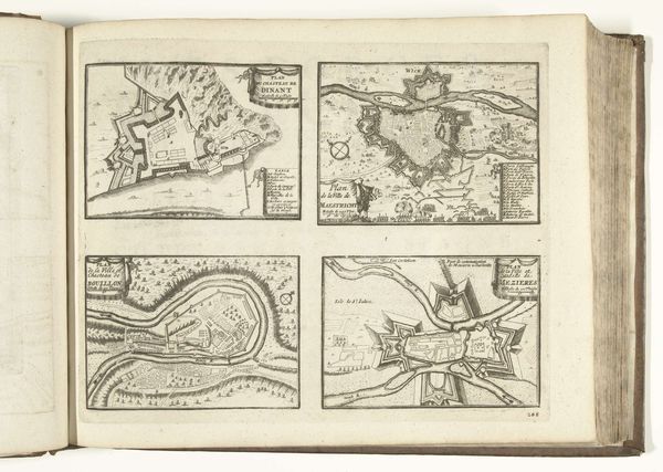
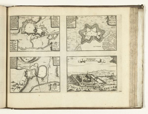
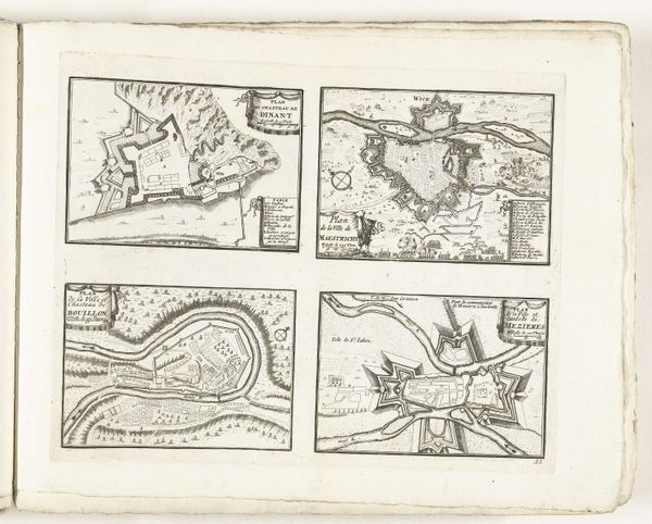
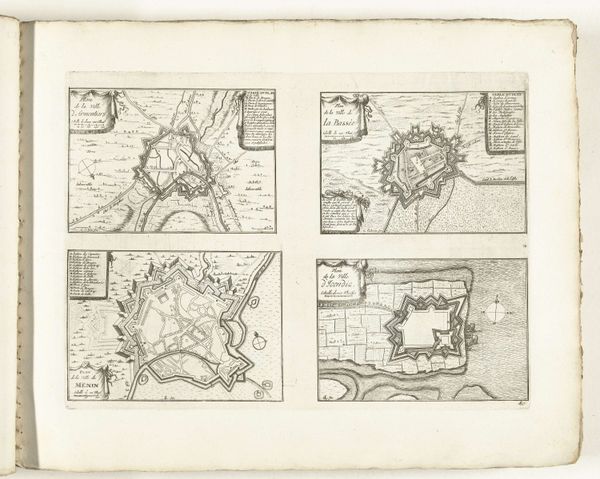
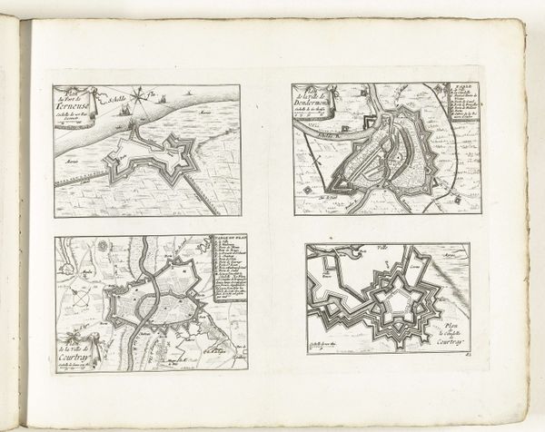
This 1726 unbound print by an anonymous artist presents four distinct plats of fortified areas, executed in etching. The composition relies on linear precision, dividing the sheet into quadrants, each containing a meticulously detailed plan. Note the dominance of geometric forms, with star-shaped fortresses and rigid lines delineating the landscape. The stark contrast of the etched lines against the paper creates a tension, emphasizing the strategic imposition of order onto the natural world. Each plan is not merely a depiction but a symbolic representation of power, control, and the rationalization of space, reflecting Enlightenment ideals. The rigorous structure invites a semiotic reading; each line, angle, and form functions as a sign within a larger system of military and political discourse. Consider the relationship between these stark, controlled forms and the underlying philosophical concerns of the era. Does this imposition of geometric order truly represent progress, or does it also signify a violent imposition upon the landscape and its inhabitants?
Comments
No comments
Be the first to comment and join the conversation on the ultimate creative platform.
More like this