drawing, print, engraving
#
drawing
#
baroque
# print
#
landscape
#
geometric
#
line
#
cityscape
#
italian-renaissance
#
engraving
Dimensions: height 148 mm, width 219 mm
Copyright: Rijks Museum: Open Domain
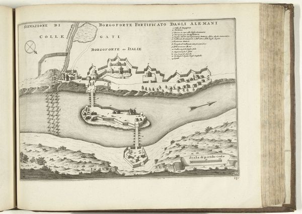
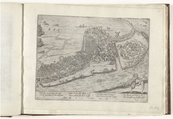
This map of the Tiber River was etched by an anonymous artist, likely in Italy. It offers insights into the cultural values and social concerns of its time. The map meticulously charts the river's course, not merely as a geographical feature, but as a vital artery of Roman life. Note the detailed renderings of settlements, roads, and bridges, suggesting a keen interest in infrastructure and connectivity. The inclusion of place names provides a sense of orientation but also hints at the political and administrative divisions of the territory. Consider the potential patrons of such a map – landowners, merchants, or government officials? We might explore archives, records, and period documents. Historical context transforms this image from a simple depiction of a river into a rich tapestry of social and institutional history.
Comments
No comments
Be the first to comment and join the conversation on the ultimate creative platform.
More like this