drawing, print, ink, engraving
#
drawing
#
comic strip sketch
#
mechanical pen drawing
# print
#
pen illustration
#
pen sketch
#
personal sketchbook
#
ink
#
sketchwork
#
geometric
#
ancient-mediterranean
#
pen-ink sketch
#
line
#
pen work
#
sketchbook drawing
#
history-painting
#
storyboard and sketchbook work
#
engraving
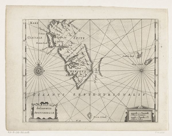
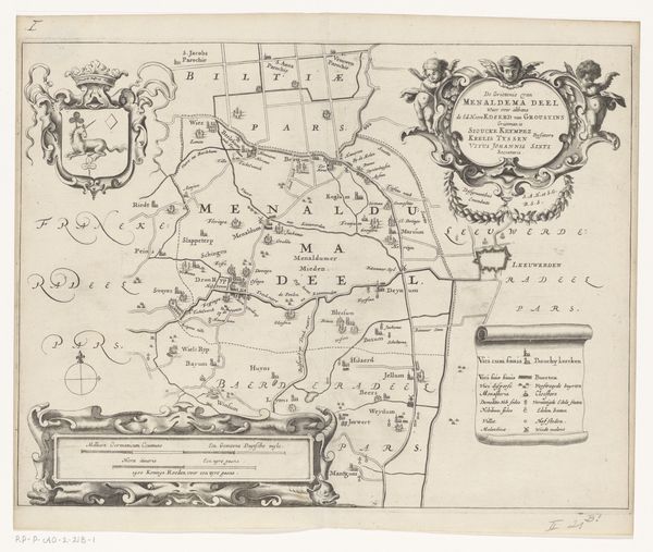
Dimensions: height 154 mm, width 440 mm
Copyright: Rijks Museum: Open Domain
This map, made in 1616 by an anonymous artist, charts Jacob le Maire’s voyage around Cape Horn. It's made with ink on paper, materials that belie the immense skill and labor involved in its creation. Consider the social context: maps like this were not just geographical tools; they were instruments of power. They fueled colonial ambitions, charting routes for trade and conquest. The act of mapping was an act of claiming. The delicate lines and precise details speak to a culture obsessed with control and exploitation of the world. The map’s very existence is tied to global capitalism. It represents the cutting edge of technology of its day, the result of countless hours of observation, calculation, and drafting. We can appreciate the level of precision, and how this was at the service of larger political and economic forces, underscoring the entanglement of art, labor, and imperial expansion.
Comments
No comments
Be the first to comment and join the conversation on the ultimate creative platform.
More like this