1801
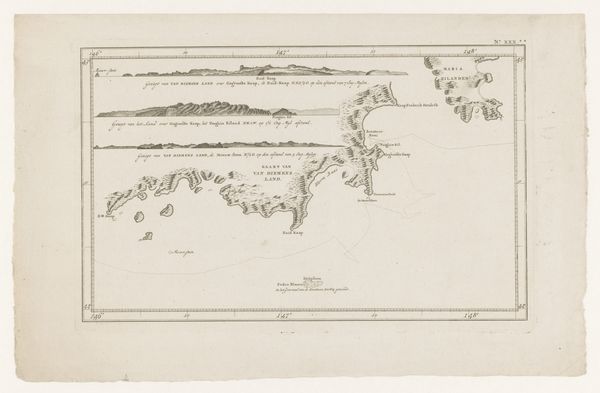
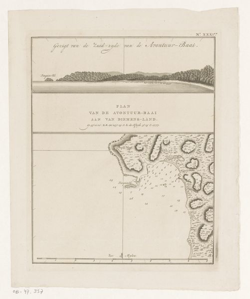
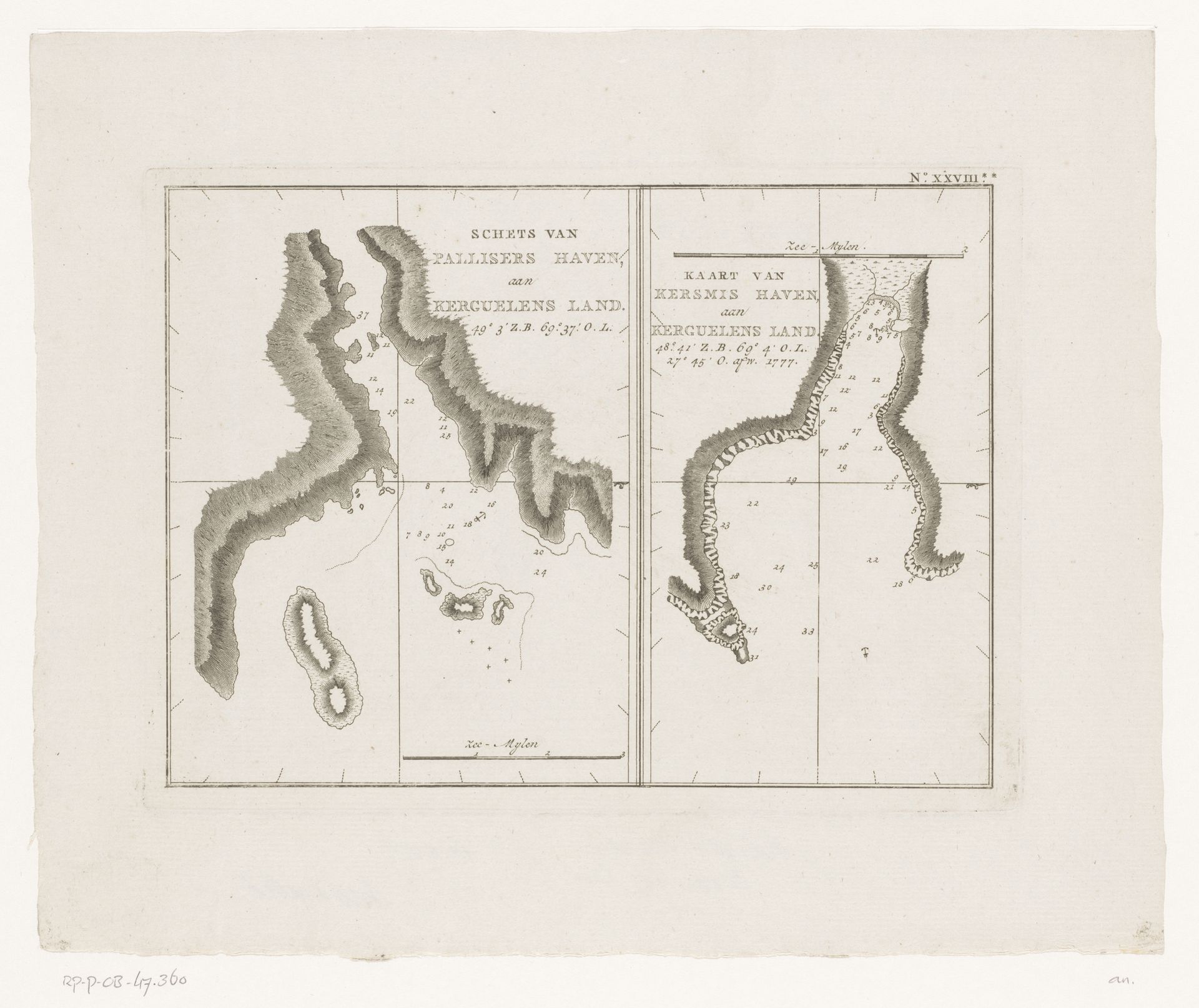
Kaarten van delen van de kust van de Kerguelen in de Indische Oceaan
Listen to curator's interpretation
Curatorial notes
Here is a pair of charts depicting parts of the coast of Kerguelen in the Indian Ocean. Though simple, these maps are rich with symbolic power. Note the harbor's shape, reminiscent of ancient depictions of river gods, their watery forms snaking across the land. The image of the river, a potent symbol of life and fluidity, has meandered through human consciousness since antiquity. We see it in Mesopotamian art, where rivers are deities, and in Renaissance fountains, where water embodies vitality. Consider how the act of charting, of imposing order on the unknown, reflects humanity's eternal struggle to understand and control the natural world. Even as the representation of the harbors evolved from mythic figures to geographical tools, the subconscious desire to connect with and comprehend the world around us persists. The symbol’s trajectory is never linear. It ebbs and flows, revealing different facets of human experience across epochs.