drawing, paper, ink
#
drawing
#
dutch-golden-age
#
landscape
#
paper
#
ink
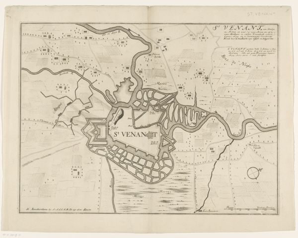
Dimensions: height 365 mm, width 851 mm
Copyright: Rijks Museum: Open Domain
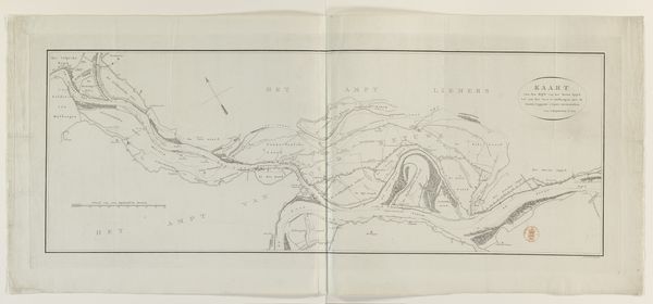
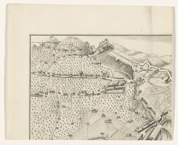
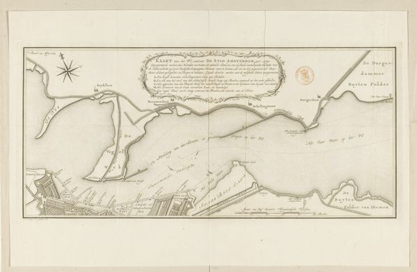
This map of the Koegras polder was made by Frederik de Wit, likely in the late 17th or early 18th century. It's an engraving, meaning that the image was incised into a metal plate, inked, and then printed onto paper. But more than just a picture, this map is a record of a massive feat of engineering. The polder itself is land reclaimed from the sea – an incredibly laborious undertaking. Canals had to be dug, dikes constructed, and the water systematically pumped out. The map therefore embodies the labor and skill involved in transforming the landscape. Notice the precision of the lines, each one representing countless hours of physical work. The map isn't just a representation of land; it’s a testament to human effort, a symbol of our ongoing attempts to control and reshape the natural world. It reminds us that even seemingly simple images can carry deep social and material significance.
Comments
No comments
Be the first to comment and join the conversation on the ultimate creative platform.
More like this