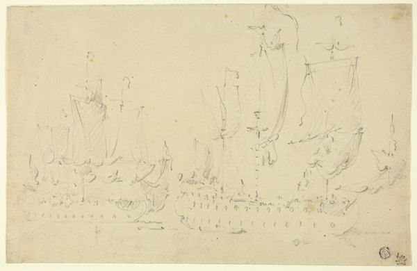
print, etching, engraving
#
dutch-golden-age
# print
#
etching
#
old engraving style
#
landscape
#
engraving
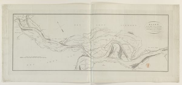
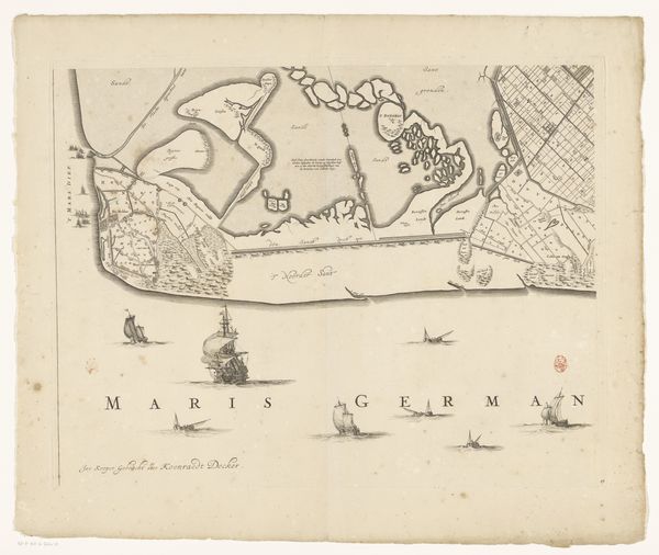
Dimensions: height 454 mm, width 584 mm
Copyright: Rijks Museum: Open Domain
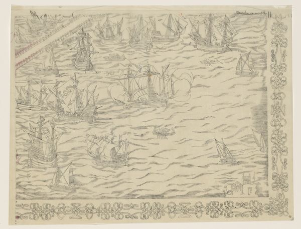
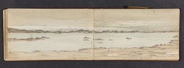
Coenraet Decker created this map of Kennemerland and West-Friesland in the Netherlands, likely using etching techniques to make multiple impressions on paper. The appeal of this map lies in the precision of its lines, and the sense of skilled labor involved in its production. Every mark indicates the knowledge and physical effort necessary to create an accurate, navigable tool. Notice how Decker skillfully rendered the various depths of the sea and shapes of the land, reflecting the detailed understanding of the region. During this period, mapmaking was essential for trade and navigation, and the act of meticulously etching each map was both a craft and a crucial contribution to the Dutch Golden Age, as well as part of a larger system of both imperial and economic growth. Considering the materials and the labor involved, we gain a deeper appreciation for this map, not only as a geographical representation but also as a testament to the economic and social context of its time, thereby challenging any strict divide between art, craft, and document.
Comments
No comments
Be the first to comment and join the conversation on the ultimate creative platform.
More like this