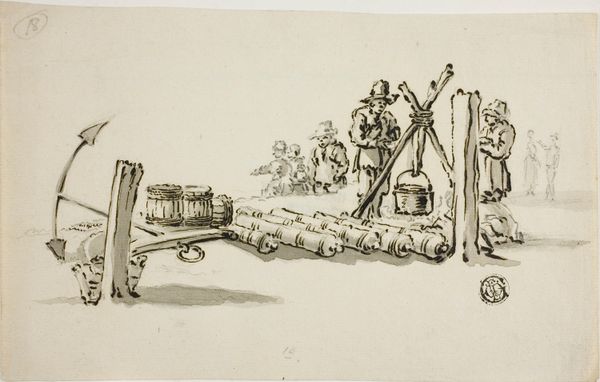
print, etching
#
dutch-golden-age
# print
#
etching
#
landscape
#
etching
#
perspective
#
cityscape
Dimensions: height 150 mm, width 205 mm
Copyright: Rijks Museum: Open Domain
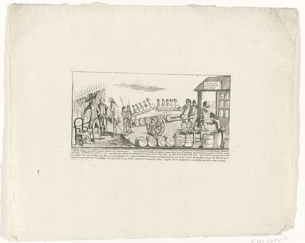
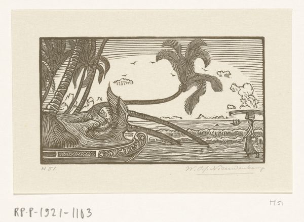
Curator: Here we have a fascinating etching, tentatively dated between 1644 and 1646. The Rijksmuseum holds this print, titled "Plan van de stad Gammelamme op het eiland Ternate, 1607," showing the city plan of Gammelamme on the island of Ternate. Editor: It feels very… deliberate. Look at that rigid geometry, the sharp angles of the fortress walls, juxtaposed against the more organic shapes of the land and sea. There’s an almost unsettling contrast between order and nature. Curator: Indeed. What we're seeing here is a key example of Dutch cartography during their Golden Age. These plans served more than just navigational purposes; they were instruments of power, shaping trade routes, colonial expansion, and military strategy. Editor: The image is full of implied authority. Look at the detail given to the fortifications compared to the softer rendering of the natural landscape. What cultural messages were implied in emphasizing human construct over raw land? Curator: Good point. Dutch cityscapes of this period often glorified civic engineering as a mark of cultural achievement and mercantile prowess, and to create the imagery of their colonial possessions. But it also served to communicate stability back to the investors and governing parties in Amsterdam. The level of detail of defensive walls or resources tells as much of a story as the accuracy of its latitude. Editor: This relates to how space becomes a form of symbolic language, where visual hierarchy establishes cultural dominance. That city is being visually ‘claimed’. There's something about those miniature ships, asserting control of waterways. I notice in the distance at the top an ornate frame is placed around the island or next city that is framed like some precious object, giving the scene a feeling of removed perspective from the city below. It seems less practical and more to be some symbolic reason to suggest a "collected" and owned territory. Curator: Precisely! This etching invites us to consider the complex interplay between cartography, commerce, and colonialism. Its rigid lines belie the often violent realities of these early global exchanges. Editor: For me, it makes me consider our tendency to codify and control the unknown, reducing a complex space to a two-dimensional representation laden with symbolic meaning. Curator: It gives a new, sharper edge to the phrase "mapping exercise" even now, doesn't it? Editor: It certainly does. We are all in the end just representations of something.
Comments
No comments
Be the first to comment and join the conversation on the ultimate creative platform.
More like this