drawing, paper, watercolor, ink
#
drawing
#
baroque
#
landscape
#
paper
#
watercolor
#
ink
#
geometric
#
history-painting
#
watercolor
Dimensions: height 424 mm, width 530 mm
Copyright: Rijks Museum: Open Domain
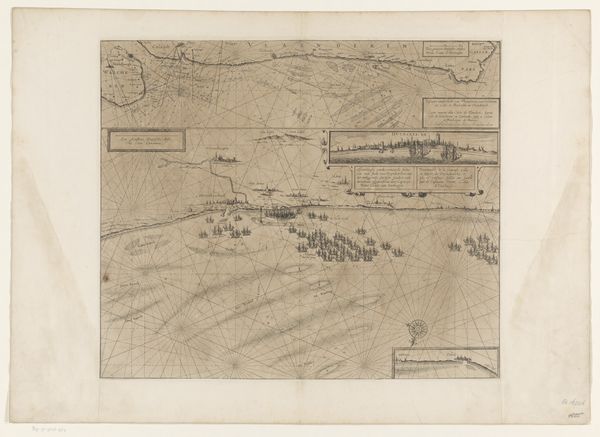
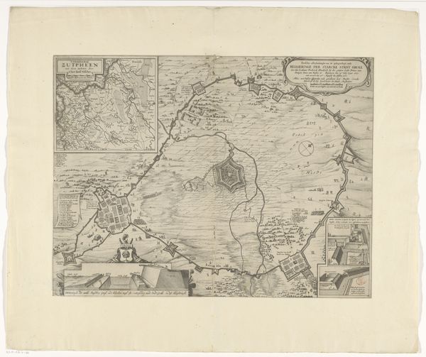
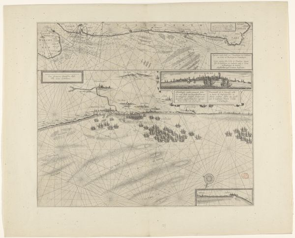
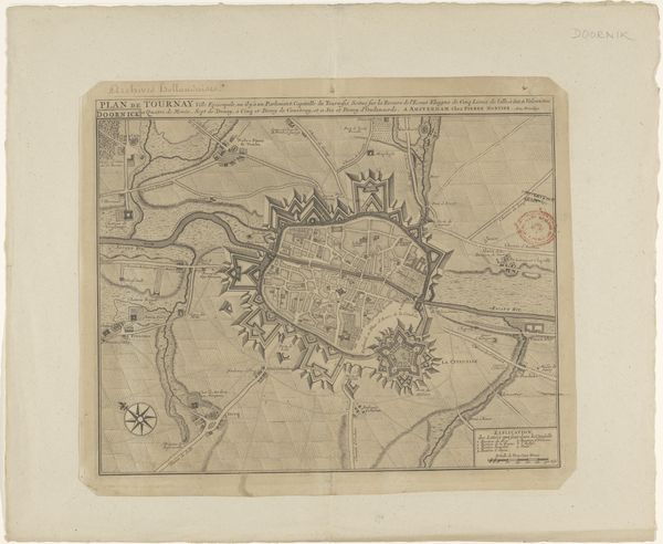
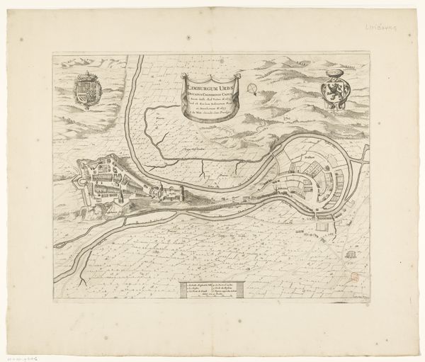
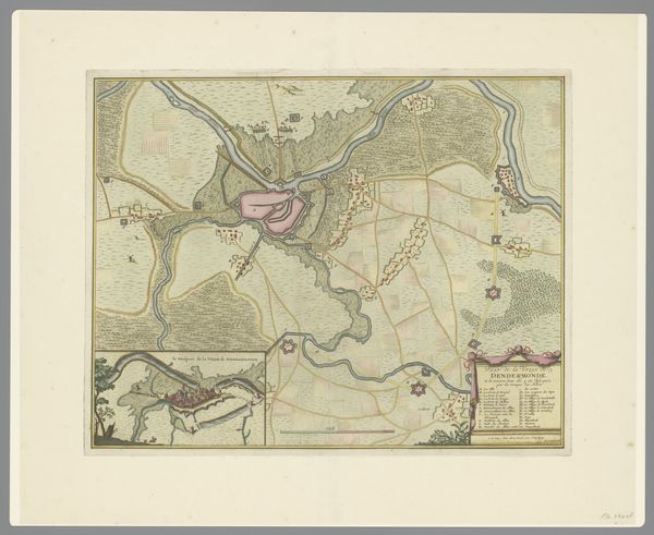
This is an anonymous map from 1610, detailing the siege of Jülich during the War of the Jülich Succession. Maps like these played a crucial role in the geopolitical strategies of the 17th century, not just as navigational tools but as instruments of power. The detailed rendering of fortifications, troop placements, and geographical features, such as rivers and hills, reveals the strategic importance of the city. Consider that the siege itself was a power play between Protestant and Catholic factions vying for control of the region after the Duke’s death. The map's symbolism reflects the culture of the time, using visual codes to assert dominance and legitimacy, demonstrating how cartography was deeply entwined with political ambitions. To fully understand this map, historians consult military archives, diplomatic correspondence, and period chronicles, offering insights into the social, political, and institutional contexts that shaped its creation. The meaning of the map is contingent on these contexts.
Comments
No comments
Be the first to comment and join the conversation on the ultimate creative platform.
More like this