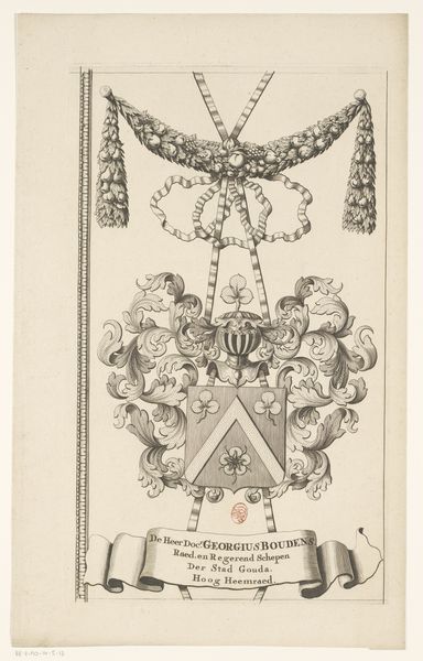
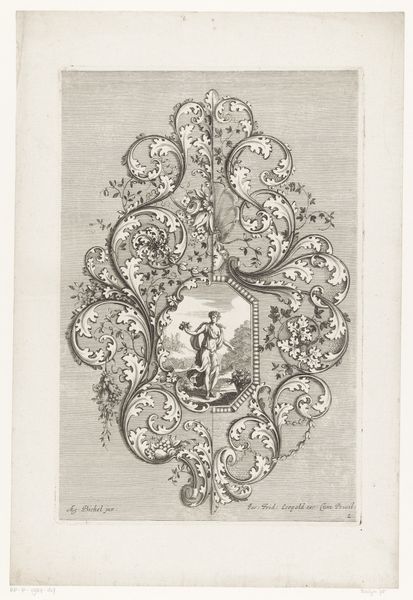
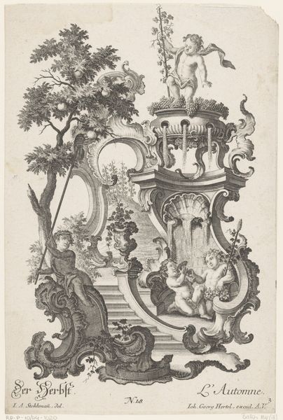
drawing, graphic-art, print, metal, engraving
#
drawing
#
graphic-art
#
baroque
# print
#
metal
#
history-painting
#
engraving
Dimensions: height 518 mm, width 265 mm
Copyright: Rijks Museum: Open Domain
This is an anonymous section of a map from the Dutch Water Board, made using engraving techniques. The design shows a complex armorial border, meticulously incised into a copper plate, then printed onto paper. The real interest here is in the relationship between the image and the modes of production. Engraving was a highly skilled trade, involving years of apprenticeship. This particular example is relatively elaborate, indicating a significant investment of labor. And that is connected to social status, because the map wasn't just about geographical information, it was also a display of power. The coat of arms represents the Water Board, a powerful institution responsible for land management. So, the artistry on display serves to reinforce that authority. Seen in this light, even a seemingly straightforward map fragment reveals much about the hierarchies of labor, skill, and social control in the Dutch Golden Age. It challenges us to look beyond the image itself, and to consider the human effort and social context that brought it into being.
Comments
No comments
Be the first to comment and join the conversation on the ultimate creative platform.
More like this