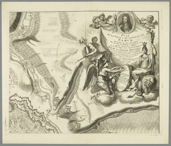
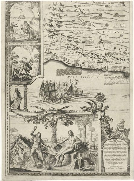
Kaart van de regio ten oosten en zuiden van Brussel en het graafschap Namen (blad linksboven) 1689 - 1712
0:00
0:00
drawing, ink, engraving
#
drawing
#
baroque
#
pen drawing
#
landscape
#
ink line art
#
ink
#
history-painting
#
engraving
Dimensions: height 232 mm, width 257 mm
Copyright: Rijks Museum: Open Domain
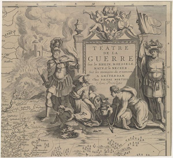
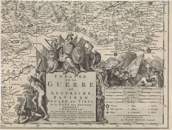
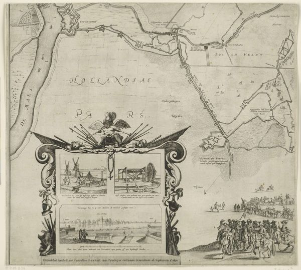
This map of the region east and south of Brussels and the county of Namur was made by Cornelis Huyberts around the turn of the 18th century, using etching. It's a great example of how printmaking, often thought of as a 'lesser' art, could be used to combine factual information with cultural messaging. The material is paper, but the value lies in the etched lines, creating a matrix of ink. Look closely, and you'll see the fine details of the landscape and the allegorical figures. The process of etching involves covering a metal plate with a waxy ground, drawing through it, and then immersing it in acid, which bites away the exposed lines. It’s a labor-intensive process, requiring skill and precision, and the final print is the result of a collaboration between artist and printer. Huyberts’ map would have been distributed widely, reflecting the rise of cartography as both a science and a tool of power. Think about who had access to this knowledge, and how it might have influenced their perception of the world. It's a reminder that even seemingly objective information is always shaped by human hands and agendas.
Comments
No comments
Be the first to comment and join the conversation on the ultimate creative platform.
More like this