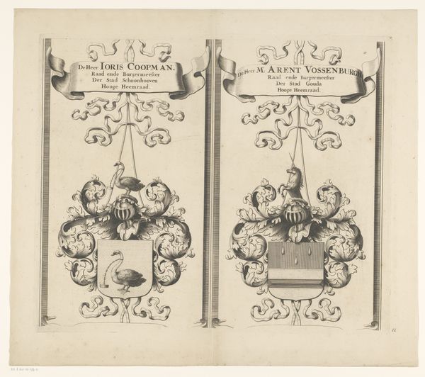
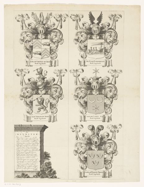
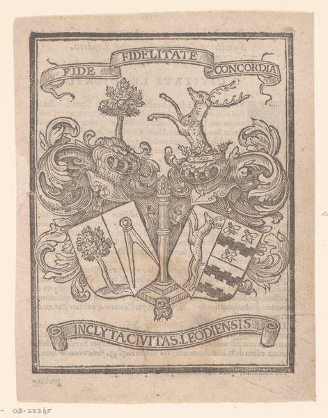
Kaart van het Hoogheemraadschap van de Krimpenerwaard (deel wapenrand) 1683
0:00
0:00
johannesleupenius
Rijksmuseum
graphic-art, print, engraving
#
graphic-art
#
baroque
# print
#
engraving
Dimensions: height 533 mm, width 533 mm
Copyright: Rijks Museum: Open Domain
This is a section of a map made by Johannes Leupenius in the late 17th century. It's an etching – meaning the design was scratched into a metal plate, likely copper, which was then inked and printed. Notice the elaborate heraldry, ribbons, and calligraphy. The image is a testament to the highly skilled labor involved in its production; the precision of the lines speaks to the mastery required for the etching process. It also speaks to the social context in which it was made. Consider the individuals named on the map, powerful figures involved in the region's governance, and the families they represent. This wasn't just about geographic information. The map's level of detail emphasizes the value placed on land ownership, and the administration of water resources as a reflection of power, and a projection of control over the landscape. So, when you look at this map, think about the relationship between meticulous craft, social status, and the assertion of authority over both land and water. The map’s not just about place; it's about power.
Comments
No comments
Be the first to comment and join the conversation on the ultimate creative platform.
More like this