drawing, paper, ink, engraving
#
pen and ink
#
drawing
#
landscape
#
paper
#
ink
#
geometric
#
geometric-abstraction
#
history-painting
#
academic-art
#
engraving
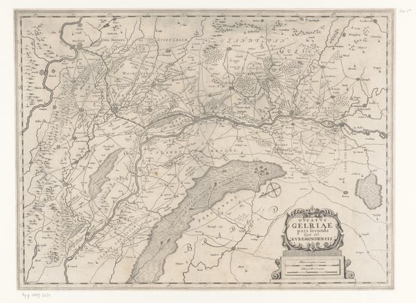
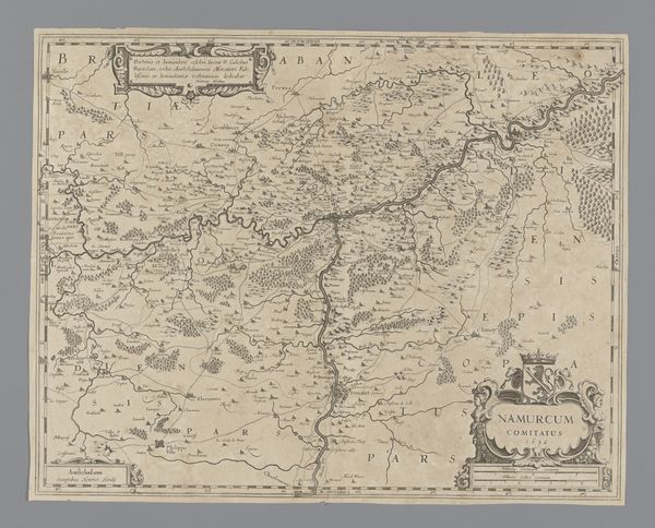
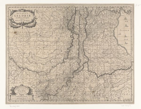
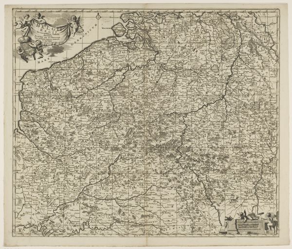
Dimensions: height 502 mm, width 375 mm
Copyright: Rijks Museum: Open Domain
Curator: Take a moment to observe this meticulously crafted map from between 1631 and 1649, "Kaart van het aartsbisdom Kamerijk." It’s a drawing using pen and ink, an engraving on paper held here at the Rijksmuseum. The artistry in rendering what would now be seen through satellite imagery is really striking, isn't it? Editor: My first thought is how delicate it seems, given the historical context. Look at the intricacy of the lines and the text. I find myself getting lost in the sheer density of information contained within its borders. Curator: Indeed, the process here is central. The very act of creating such a detailed map by hand demonstrates a significant investment of time, labor and specific skills within the communities who were producing cartography. It wasn’t just about representing geography but asserting a claim, establishing power structures via representation. Editor: I agree there’s something more profound than just the surface level of geographical data, but it’s impossible to overlook how successfully the engraver translates geographic reality into elegant forms. Observe how effectively the various fonts distinguish between regions and settlements. It’s aesthetically pleasing and rationally structured, using the elements of design to convey information. Curator: The materials tell a story too. Paper, ink—these were valuable commodities. The act of committing this geographical understanding to a physical form reveals priorities and economic realities in mapmaking workshops. This speaks volumes about trade routes, resource control, and social hierarchies. Editor: Semiotically, it functions beautifully. Each little symbol and flourish stands in for tangible locations. Its impact is powerful, considering its creation predates advanced technology. Its careful organization creates clarity within the visual data. Curator: So, it serves as both functional tool, an artwork in its own right, but more importantly, a testament to the intersection of knowledge, labor and resources in the early modern era. Understanding its context deepens our understanding of the society that produced it. Editor: It's true, getting caught up in the elegance made me almost forget its inherent utility. Thanks for nudging me towards this more well-rounded perception. Curator: A visual dance between the land and power! A nice piece of perspective and well worth a closer look.
Comments
No comments
Be the first to comment and join the conversation on the ultimate creative platform.
More like this