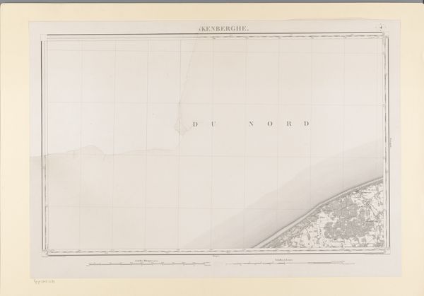
graphic-art, print, etching
#
graphic-art
# print
#
etching
#
landscape
#
etching
#
geometric
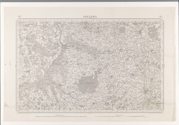
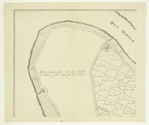
Dimensions: height 665 mm, width 958 mm
Copyright: Rijks Museum: Open Domain
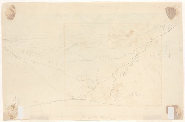
Editor: This is a map, "Kaart van de Noordzee voor de kust van Duinkerke", an etching from 1861. What immediately strikes me is how scientific and detached it feels, yet still, there’s an artistry in its precision. What historical context should we consider when viewing this piece? Curator: A great observation. Maps in the 19th century served not only as tools for navigation, but also as instruments of power. Think about the colonial era: mapping territories was essential for claiming and controlling them. Does this map perhaps suggest something about territorial ambition, and the role cartography played in shaping political landscapes? Editor: That's interesting. I hadn't thought of it that way. So, this wasn't just about accurately depicting the coastline, but potentially asserting dominance? Is there anything about the specific location, Oost-Duinkerke, that’s relevant? Curator: Certainly. Oost-Duinkerke's coastal location made it strategically significant, historically contested between various powers. A map like this would be crucial for naval planning and defense. Think of the military implications: where are the shallow waters? The sandbanks? This data was vital. Now, consider the intended audience: who would have used this map, and for what purposes? Editor: Presumably, naval officers or merchants... anyone with maritime interests. This brings to mind that, the precision isn’t just artistic, but necessary. Did these maps become publicly accessible, influencing how the broader population perceived these coastal areas? Curator: An insightful question. Maps like this could absolutely shape public perception. The act of mapping itself created a sense of ownership and control, both for those using it directly and indirectly for those seeing these regions defined. In that way, this graphic art work reflects state interests and ideologies through this seemingly objective view of the sea. Editor: So, a simple map really tells a much bigger story about power and perception. I’ll never look at one the same way again. Thanks for your insights. Curator: It's all about reading between the lines – or in this case, between the latitudes and longitudes! A fascinating work seen through a socio-political lens.
Comments
No comments
Be the first to comment and join the conversation on the ultimate creative platform.
More like this