print, engraving
#
baroque
# print
#
geometric
#
line
#
cityscape
#
engraving
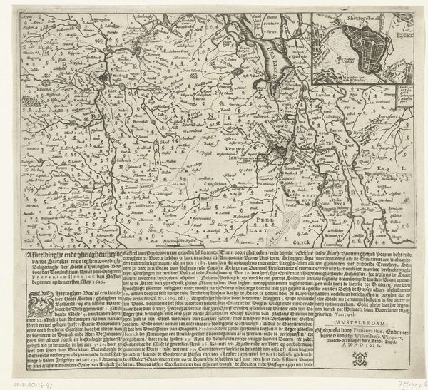
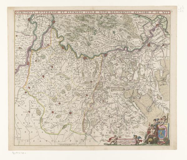
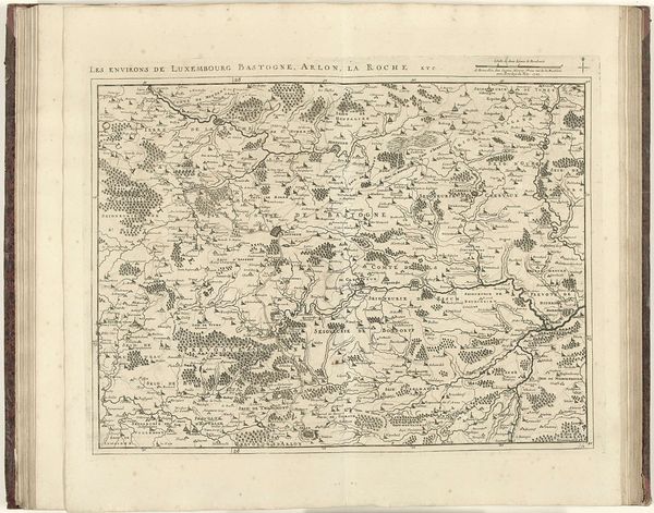
Dimensions: height 260 mm, width 302 mm
Copyright: Rijks Museum: Open Domain
This is Abraham Allard’s map of the Kasselrij van Rijssel, an engraving measuring 260 by 302 millimetres. Note the intricate network of lines forming the topography and administrative boundaries. The map teems with a meticulous articulation of space, but it is not merely a representation of geography. The lines perform double duty, not only demarcating territories but also creating a complex, almost decorative pattern across the surface. The delicate lines and meticulously inscribed names overlay the land, turning geography into a sign system. Allard’s map destabilizes our understanding of space by presenting it as both a practical tool for navigation and a symbolic representation of power and knowledge. It asks us to consider how maps are not just objective renderings of the world, but constructions that reflect and reinforce cultural and political structures.
Comments
No comments
Be the first to comment and join the conversation on the ultimate creative platform.
More like this