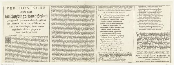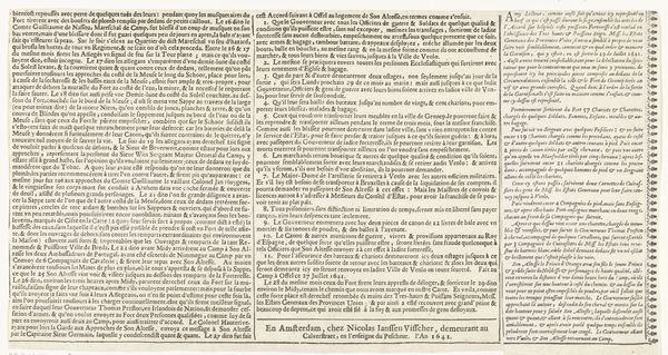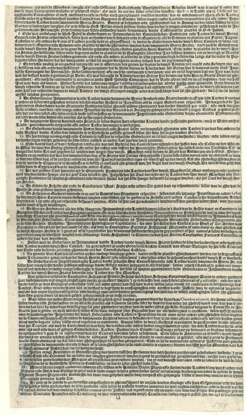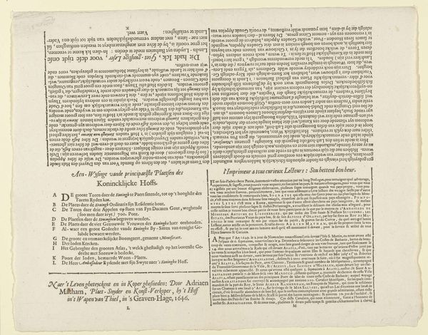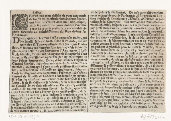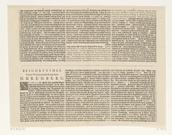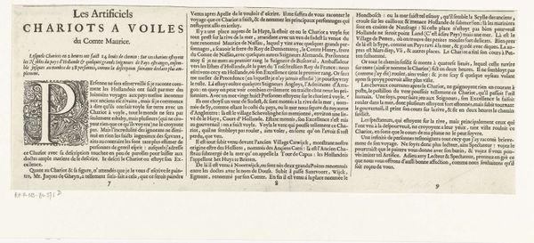
Kaart van het beleg van Huis te Gennep (tekstblad vervolg), 1641 1641
0:00
0:00
claesjanszvisscher
Rijksmuseum
print, typography, engraving
#
print media
#
newspaper
# print
#
typography
#
newspaper layout
#
spread layout
#
page layout
#
engraving
Dimensions: height 178 mm, width 326 mm
Copyright: Rijks Museum: Open Domain
This is the second text sheet of the 'Map of the Siege of Gennep', made in Amsterdam in 1641 by Claes Jansz. Visscher. It was made during a time of great political and religious upheaval in Europe. This text, printed in Dutch, offers a detailed account of the siege, highlighting military strategies, troop movements, and the overall course of events. The text emphasizes the importance of the siege within the context of the Eighty Years' War. As such, it played a significant role in shaping public opinion and national identity during a time of conflict. In studying a work like this, it's vital to look at it in the context of the growth of the printing press, which allowed the rapid distribution of information. We can also learn about the details of military engagements in 17th century Europe. By examining archival sources, we can better understand how these images shaped public perceptions of war.
Comments
No comments
Be the first to comment and join the conversation on the ultimate creative platform.
