print, engraving
# print
#
geometric
#
history-painting
#
engraving
Dimensions: height mm, width mm
Copyright: Rijks Museum: Open Domain
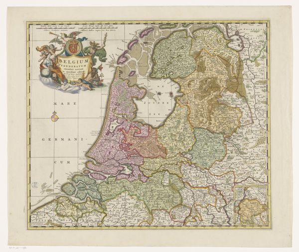
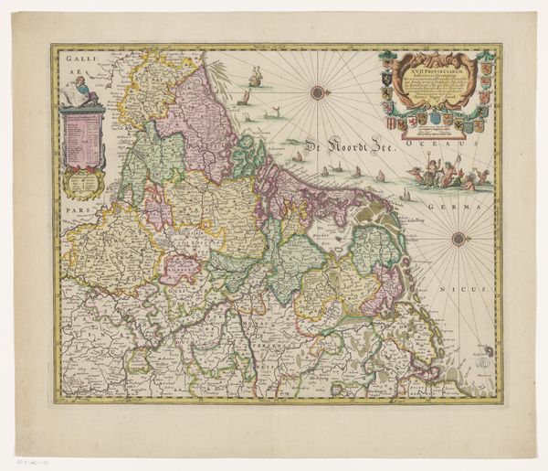
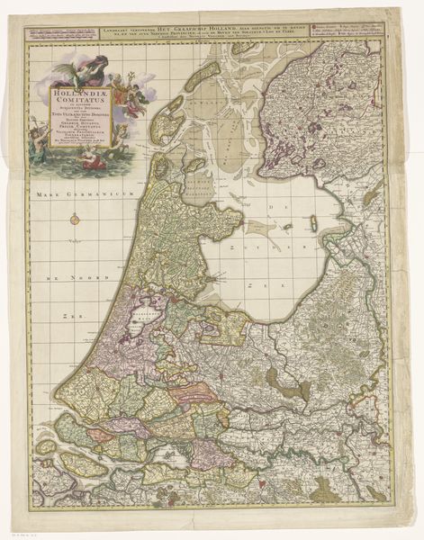
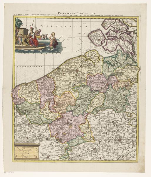
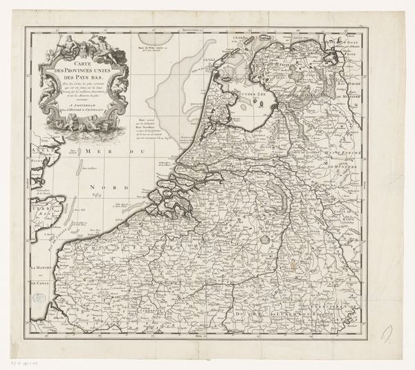
Editor: So, this is an anonymous engraving from the Rijksmuseum, titled "België Foederati nova descriptio." It’s quite decorative for a map, isn't it? Almost like it's making a political statement. What strikes you when you look at it? Curator: Indeed. It’s less about geographical precision, and more about the symbolism it employs. Look at the figures flanking the title cartouche—who do you imagine them to be and what meanings are conveyed by their presence alongside national heraldry? Editor: I hadn't really considered that! The figures almost seem celebratory, like national personifications… So are the heraldic crests meant to evoke distinct political entities, all brought together? Curator: Precisely! Consider, too, how the sea isn’t merely water; it is "Mare Germanicum". It tells us much about cultural memory. Are they uniting or are they separated by it? The symbolic language points to a specific cultural moment. How are you perceiving that symbolic language here? Editor: I suppose both? The map is attempting to show a union of sorts but acknowledges distinct regional identities. The sea and the ships give this whole scene a palpable tension! So it’s less about accurate cartography and more about using geography to convey a socio-political idea? Curator: Exactly. The power of images lies in their capacity to condense complex narratives and ideas into easily digestible symbolic forms. It is intended as political rhetoric through visual allegory. Editor: It’s fascinating how maps, seemingly objective, can be so loaded with subjective meaning. I'll never look at an old map the same way again! Curator: I'm glad to have shared with you another facet of its potent voice. Each element carries significance. It's the cultural continuity that echoes through these choices.
Comments
No comments
Be the first to comment and join the conversation on the ultimate creative platform.
More like this