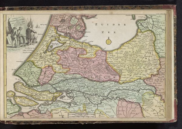
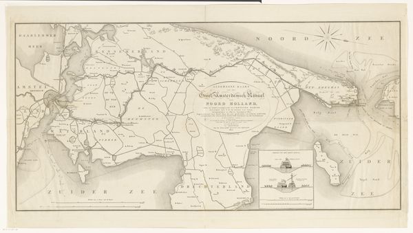
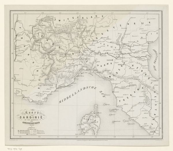
Historische kaart van Nederland en het Noordzeekanaal 1800 - 1854
0:00
0:00
willemcornelisvanbaarsel
Rijksmuseum
print, engraving
#
dutch-golden-age
# print
#
landscape
#
history-painting
#
engraving
Dimensions: height 198 mm, width 320 mm
Copyright: Rijks Museum: Open Domain
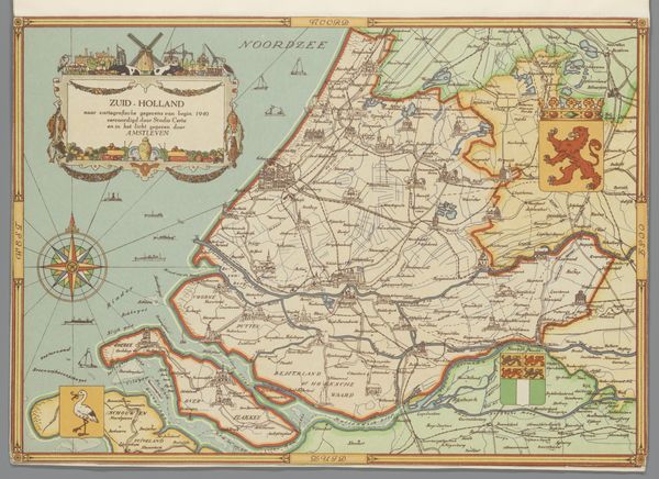
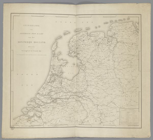
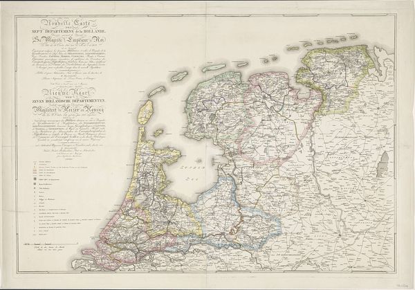
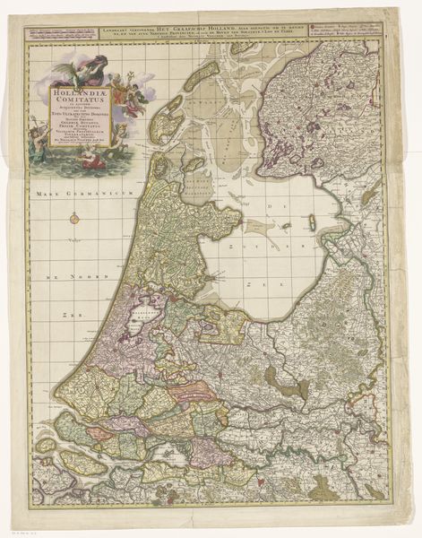
Curator: This is "Historische kaart van Nederland en het Noordzeekanaal," a historical map of the Netherlands and the North Sea Canal, made sometime between 1800 and 1854 by Willem Cornelis van Baarsel. It’s an engraving, currently held in the Rijksmuseum. Editor: Immediately, the stark lines and dense detail strike me. It feels very technical, but there’s a kind of artistry to the precise depiction of the landscape. What was the function of this piece? Curator: It was likely produced during the planning or early construction phases of the Noordzeekanaal – the North Sea Canal – intended to provide Amsterdam with a more direct trade route. The print’s distribution would have been very calculated for bureaucratic use. Editor: So, not intended as a display piece? I am really interested in its cultural relevance then, for this level of detail of water and earthworks to be so carefully recorded through print. Curator: The engraving highlights the changing relationship between the Dutch and their landscape. Consider how labor was materialized in controlling the waterways; such a complex project reflected the Dutch engineering prowess. We see here that the means of creating infrastructure could be considered a high form of both technical execution and of art, or a careful blend of both in a consumable print format. Editor: Precisely! And this print, displayed now, performs a cultural function, revealing historical ambition and the way the land has been sculpted. Was it unusual for maps to receive this artistic treatment? It appears to have many artistic qualities outside of practical renderings of spatial navigation. Curator: Mapping in the Netherlands had a long tradition; in the Golden Age it had already taken off as both a cartographical science and as an exercise in carefully detailed, reproducible design and printmaking. Van Baarsel capitalizes on that pre-existing aesthetic here in this scene. The act of engraving itself – the repetitive labor of carving lines into a metal plate – echoes the literal labor of reshaping the land that the map depicts. Editor: It's a fascinating piece that operates on many levels: art, history, and industrial labor. It prompts consideration of human interaction with nature and how this interaction reflects larger societal ambitions, right? Curator: Exactly, a carefully considered materialization of Dutch ambition and spatial strategy, expertly designed and delivered for maximum reach. Editor: The way it highlights infrastructure development alongside the pre-existing geography also raises vital considerations around cultural influence, not just technical or engineering brilliance. Curator: I agree; understanding the intersection is fundamental.
Comments
No comments
Be the first to comment and join the conversation on the ultimate creative platform.
More like this