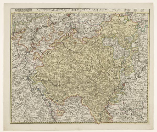
Kaart van Luxemburg met een vestingplattegrond van de stad Luxemburg 1730
0:00
0:00
print, engraving
#
aged paper
#
baroque
# print
#
linocut print
#
organic pattern
#
geometric
#
cityscape
#
engraving
Dimensions: height 506 mm, width 589 mm
Copyright: Rijks Museum: Open Domain
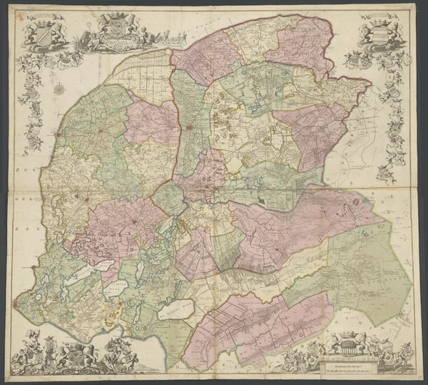
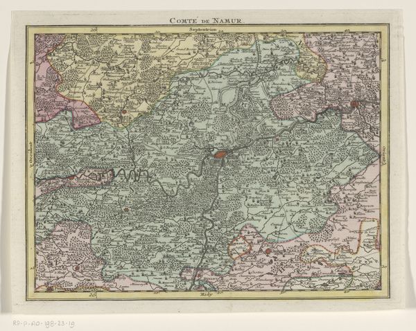
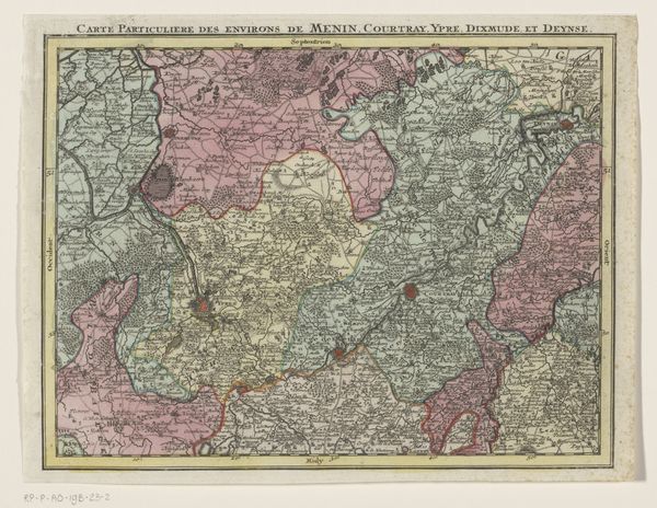
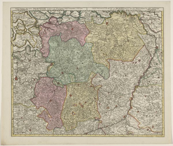
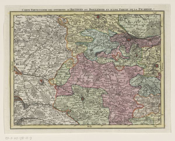
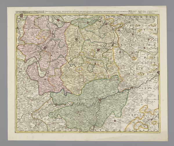
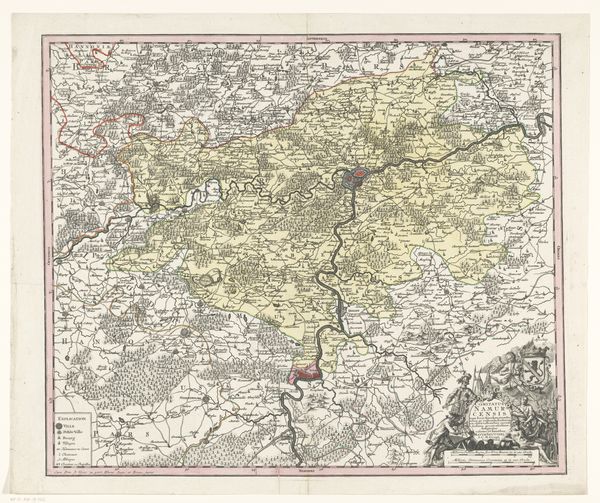
This map of Luxembourg, including a fortification plan of the city, was made by Matthaeus Seutter. Though undated, we know Seutter was active in the early 18th century. The image is an engraving, produced by incising lines on a metal plate, inking it, and then pressing paper against it. The map's appearance is heavily influenced by the labor-intensive process of engraving. The fine lines and detailed rendering of geographic features, political boundaries, and city plans required painstaking work. It was produced as a valuable commodity in an expanding market. Maps like this one weren't just about navigation: they were tools of power, defining territories and asserting control. Consider, too, the social context of mapmaking. The production and distribution of maps fueled exploration and colonization, tying them to wider issues of labor, politics, and consumption. Appreciating the materials, making, and historical context helps us understand the full meaning of this compelling artwork.
Comments
No comments
Be the first to comment and join the conversation on the ultimate creative platform.
More like this