About this artwork
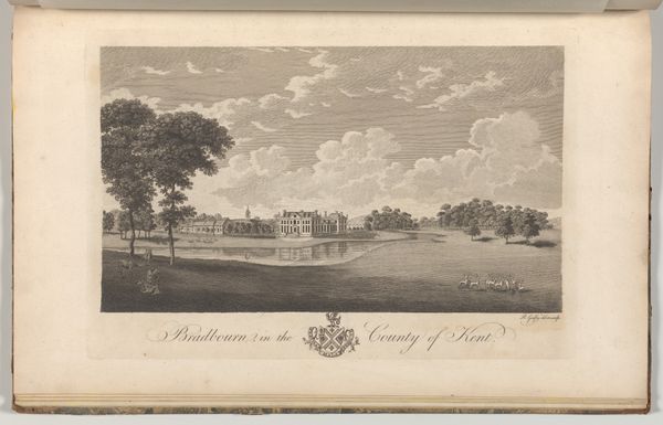
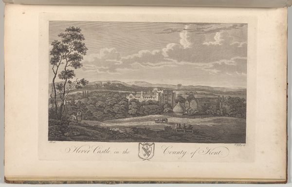
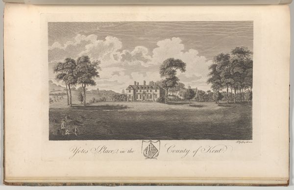
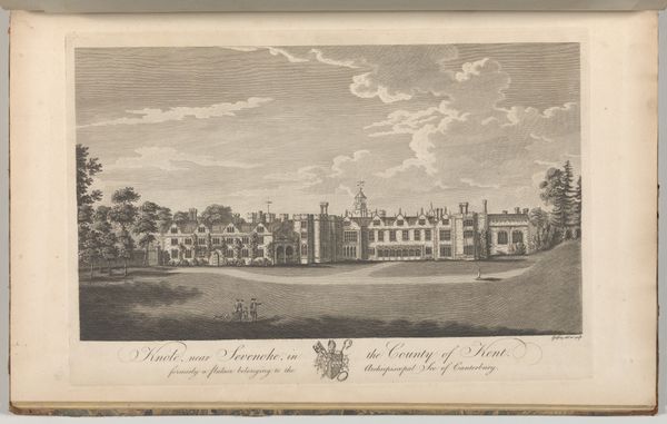
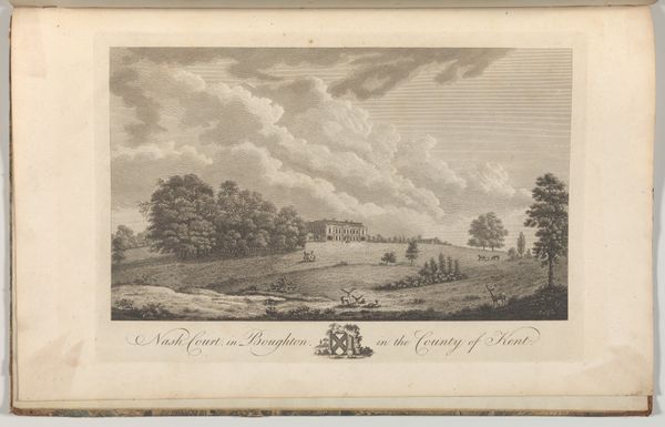
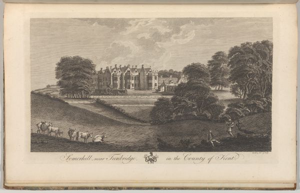
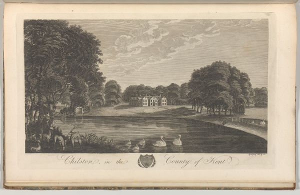
Richard Bernard Godfrey created this engraving of Chilston, now known as Leeds Castle, in the County of Kent, as part of Edward Hasted's topographical survey. Published in the late 18th century, this image reflects the period's fascination with landscape and property, but also a complex relationship to place and power. Consider the social hierarchy embedded in this serene vista. The castle, a symbol of wealth and authority, dominates the scene. Yet, figures are placed on the grounds – perhaps members of the gentry enjoying a day of hunting. What is the relationship between those inside the castle and the laborers who maintain the grounds? How does this image perpetuate a vision of land ownership that benefited a few at the expense of many? The beauty of the scene invites us to reflect on the stories and power dynamics interwoven within landscapes.
Chilston in the County of Kent, from Edward Hasted's, The History and Topographical Survey of the County of Kent, vols. 1-3
1777 - 1790
Richard Bernard Godfrey
1728 - 1795The Metropolitan Museum of Art
Metropolitan Museum of Art, New York, NYArtwork details
- Medium
- drawing, print, paper, engraving
- Dimensions
- Book: 17 5/16 × 11 × 13/16 in. (44 × 28 × 2 cm) Sheet: 16 15/16 × 10 5/8 in. (43 × 27 cm) Plate: 10 1/16 × 14 in. (25.5 × 35.5 cm)
- Location
- Metropolitan Museum of Art, New York, NY
- Copyright
- Public Domain
Tags
Comments
Share your thoughts
About this artwork
Richard Bernard Godfrey created this engraving of Chilston, now known as Leeds Castle, in the County of Kent, as part of Edward Hasted's topographical survey. Published in the late 18th century, this image reflects the period's fascination with landscape and property, but also a complex relationship to place and power. Consider the social hierarchy embedded in this serene vista. The castle, a symbol of wealth and authority, dominates the scene. Yet, figures are placed on the grounds – perhaps members of the gentry enjoying a day of hunting. What is the relationship between those inside the castle and the laborers who maintain the grounds? How does this image perpetuate a vision of land ownership that benefited a few at the expense of many? The beauty of the scene invites us to reflect on the stories and power dynamics interwoven within landscapes.
Comments
Share your thoughts