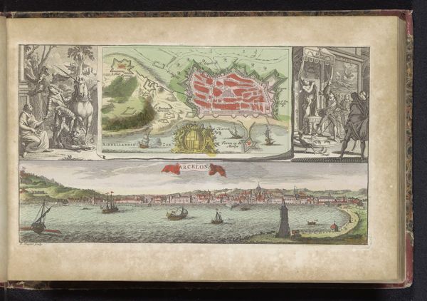
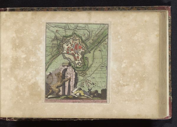
Plattegrond van Donauwörth met de slag aan de Schellenberg, 1704 1735
0:00
0:00
zachariasiichatelain
Rijksmuseum
drawing, print, watercolor
#
drawing
# print
#
landscape
#
watercolor
#
coloured pencil
#
history-painting
Dimensions: height 158 mm, width 126 mm
Copyright: Rijks Museum: Open Domain
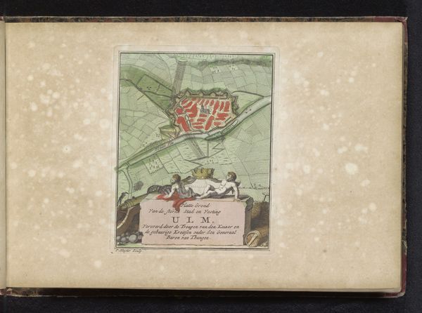
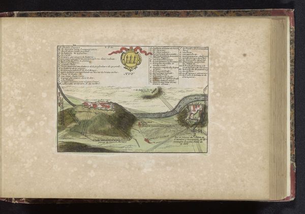
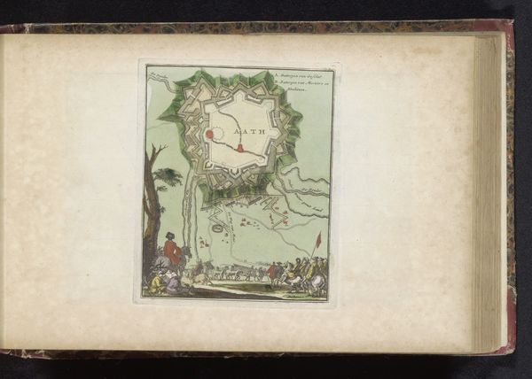
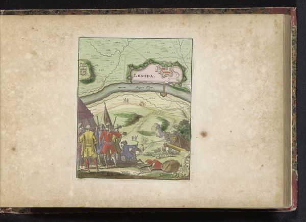
This is Zacharias Chatelain the Younger's map of Donauwörth with the battle at the Schellenberg, made around 1704. Born in Amsterdam to a family of mapmakers who were of French Huguenot origin, Chatelain created this work during a period of immense socio-political upheaval in Europe. The map depicts the Battle of Schellenberg, a significant event in the War of the Spanish Succession, fought between the Holy Roman Empire and the allied forces of England and the Dutch Republic against the Franco-Bavarian forces. The conflict was rooted in questions of power, succession, and religious division, with profound implications for the European balance of power. Consider the map not just as a record of geographical locations and military tactics, but as a cultural artifact reflecting the complex identities, allegiances, and experiences of those involved. How did cartographers shape the narratives of these events? Whose perspectives were amplified, and whose were omitted? What emotional impact might this image have had on viewers at the time?
Comments
No comments
Be the first to comment and join the conversation on the ultimate creative platform.
More like this