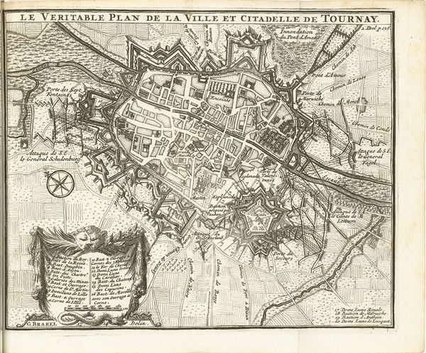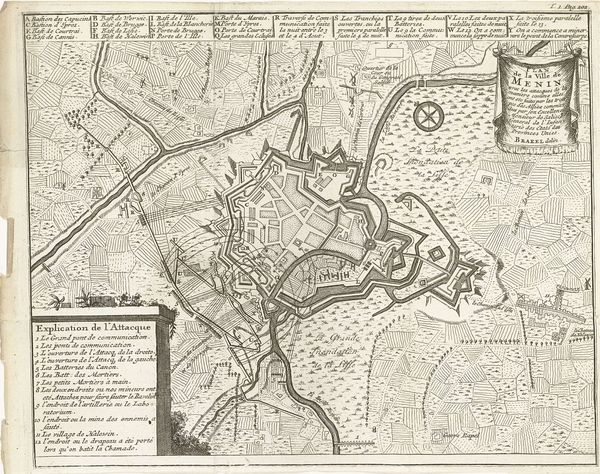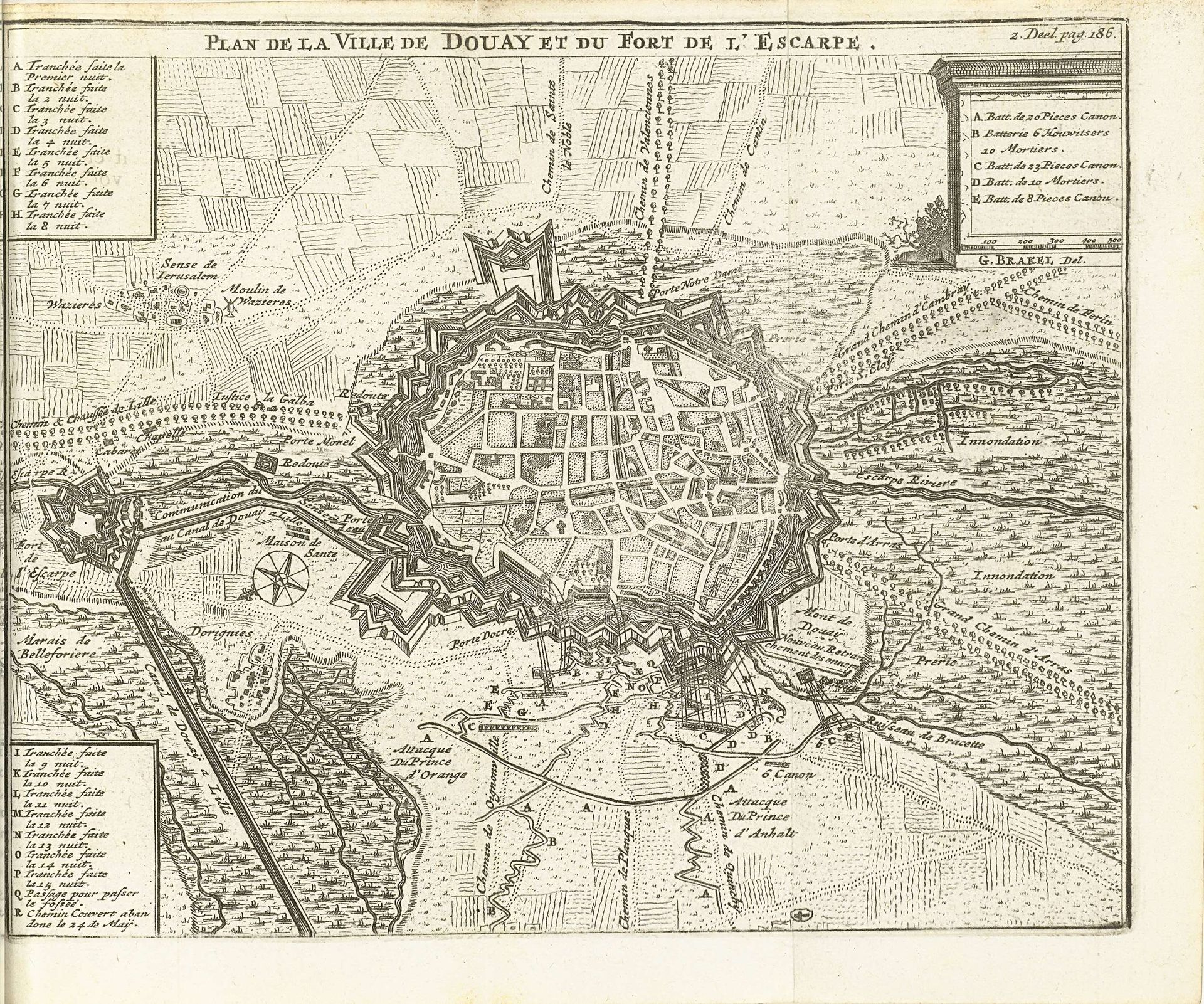
1714 - 1716
Beleg van Douai, 1710
Matthijs Pool
1676 - 1740Location
RijksmuseumListen to curator's interpretation
Curatorial notes
This engraving of the siege of Douai was created in 1710 by Matthijs Pool. It captures a pivotal moment in the War of the Spanish Succession, reflecting the intense power struggles of early 18th-century Europe. Pool's depiction isn’t just a geographical record; it’s a narrative of conflict, strategy, and human impact. Consider how maps, traditionally seen as objective tools, can also be instruments of power, shaping perceptions and justifying military actions. This image invites you to reflect on how conflict permeates all aspects of life. Look closely at the detailed fortifications and the strategic positioning of troops. Think about the lives of ordinary people caught in the crossfire, their homes and livelihoods disrupted by war. How does Pool use the visual language of cartography to convey both the grandeur of military operations and the underlying human cost? Maps are about stories. "Beleg van Douai, 1710" is a powerful reminder of how political ambitions are etched into the very fabric of our landscapes and collective memory.