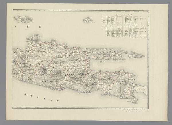
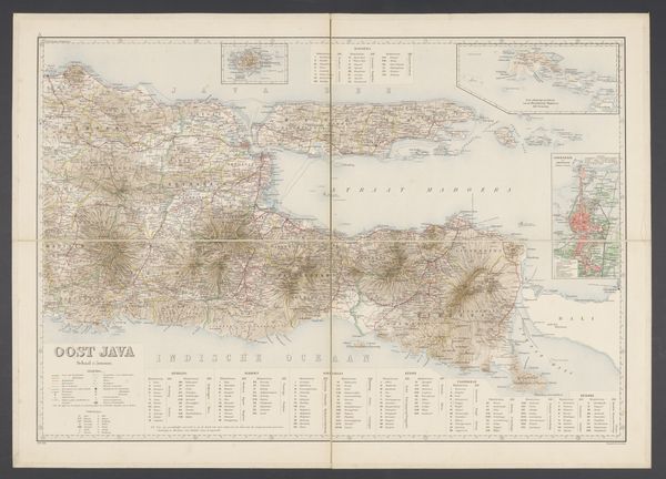
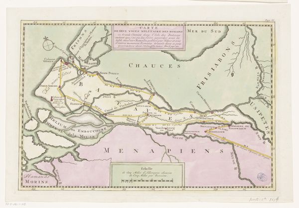
drawing, graphic-art, print
#
drawing
#
graphic-art
# print
#
landscape
#
geometric
#
orientalism
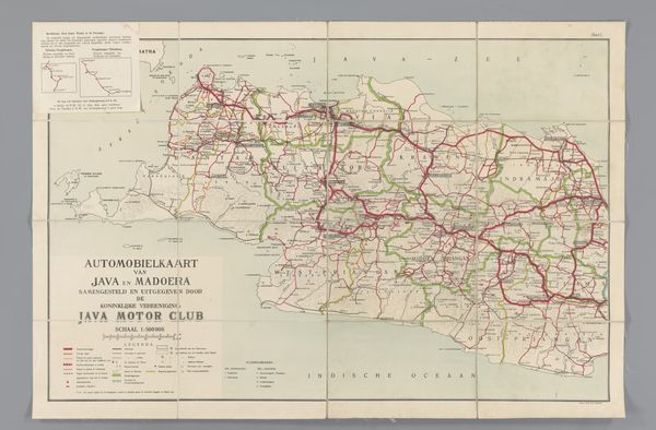
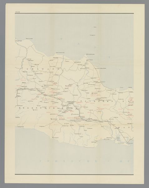
Dimensions: height 565 mm, width 900 mm
Copyright: Rijks Museum: Open Domain
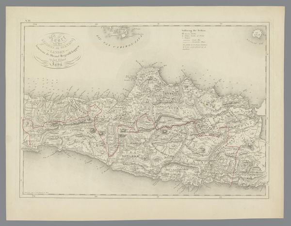
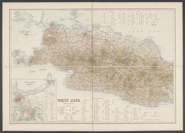
This is an anonymous road map of Middle Java. What strikes me is the dance between intention and accident. The cartographer’s hand has drawn these routes across the land with precision, but the paper itself has aged, wrinkled, and folded, introducing its own set of lines and imperfections. Look closely and you’ll see a network of red lines, marking out the roads. These are layered over softer green and blue washes, maybe indicating different kinds of terrain. The colors are muted, almost faded, giving the map a sense of history, as if it has witnessed countless journeys. I’m drawn to the way the red lines sometimes bleed into the surrounding areas, creating little blurry edges. It reminds me that the act of mapping is never entirely objective, it always involves a degree of interpretation, of getting lost and finding your way again. This kind of rendering makes me think of Agnes Martin's grids or even some of Vija Celmins' meticulously rendered surfaces. There's a similar tension between order and chaos. In the end, maps and art, both, are about trying to make sense of the world, even if that means embracing a little ambiguity along the way.
Comments
No comments
Be the first to comment and join the conversation on the ultimate creative platform.
More like this