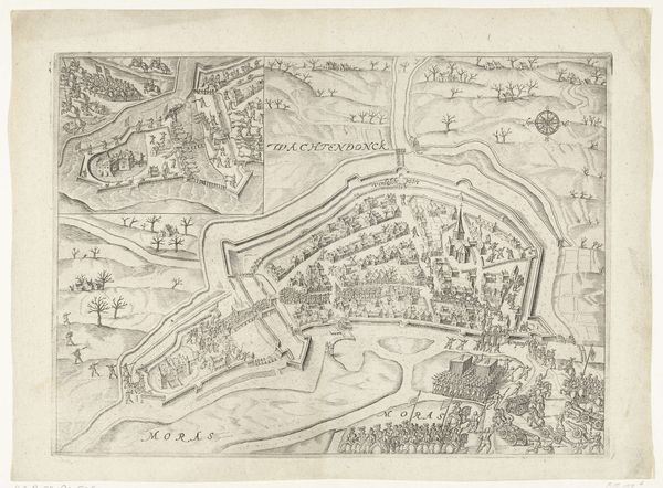
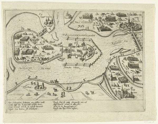
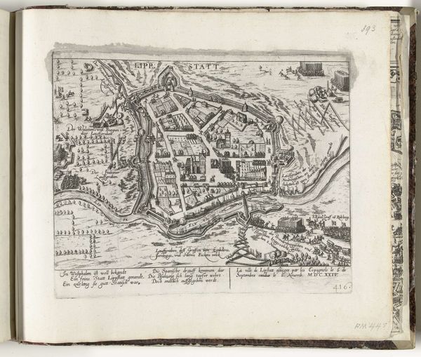
Grote kaart van Antwerpen met de mislukte aanslag in 1605 (blad rechtsboven) 1569 - 1605
0:00
0:00
pietervanderheyden
Rijksmuseum
Dimensions: height 350 mm, width 477 mm
Copyright: Rijks Museum: Open Domain
Pieter van der Heyden created this print, “Grote kaart van Antwerpen met de mislukte aanslag in 1605 (blad rechtsboven)", sometime before his death in 1569. This detailed map captures Antwerp during a time of intense political and religious conflict. The inclusion of the failed attack of 1605 isn’t just cartography; it's a statement. Antwerp, then a major port and economic center, was caught in the crosshairs of the Eighty Years' War, a struggle for independence from Spanish rule and a fight over religious identity. The map reflects the city's vulnerability and the ever-present threat of violence. Look closely, and you can see the city's fortifications—a visual representation of the siege mentality that gripped its inhabitants. The failed attack itself becomes a symbol of resilience, but also of the deep divisions within society. Consider how this imagery might have been used to stoke patriotic feelings, or perhaps to warn of the dangers of dissent. This map isn't just about geography, it's a window into a society grappling with war, identity, and survival.
Comments
No comments
Be the first to comment and join the conversation on the ultimate creative platform.
More like this