drawing, print, etching
#
drawing
#
medieval
# print
#
etching
#
landscape
#
etching
#
cityscape
Dimensions: height 354 mm, width 486 mm
Copyright: Rijks Museum: Open Domain
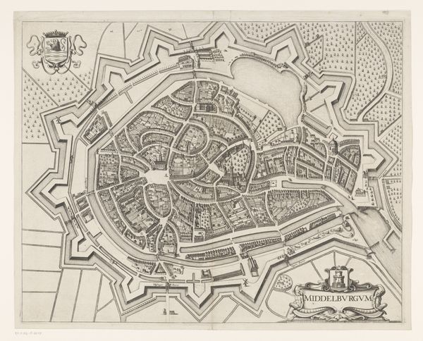
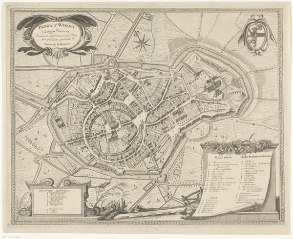
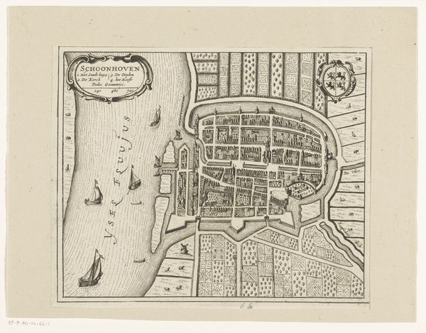
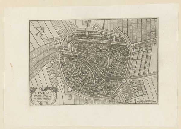
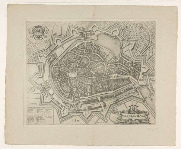
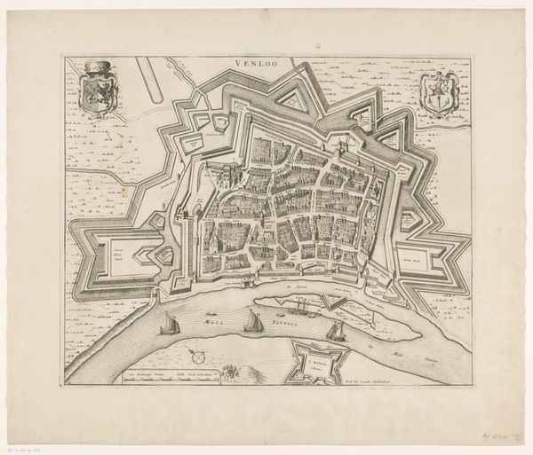
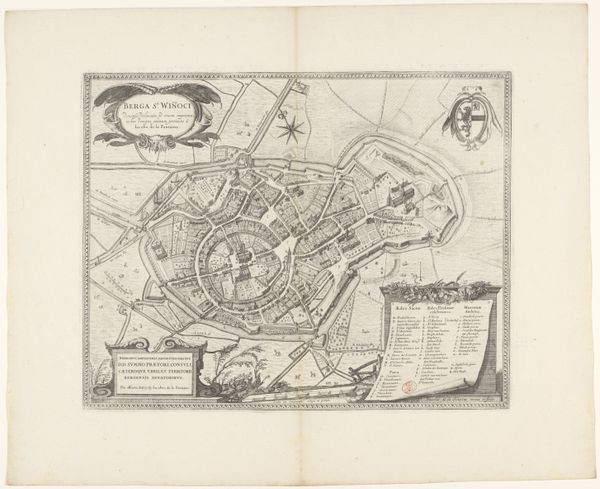
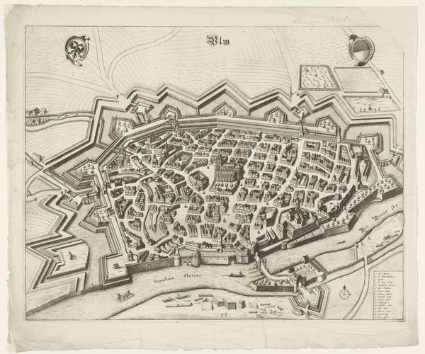
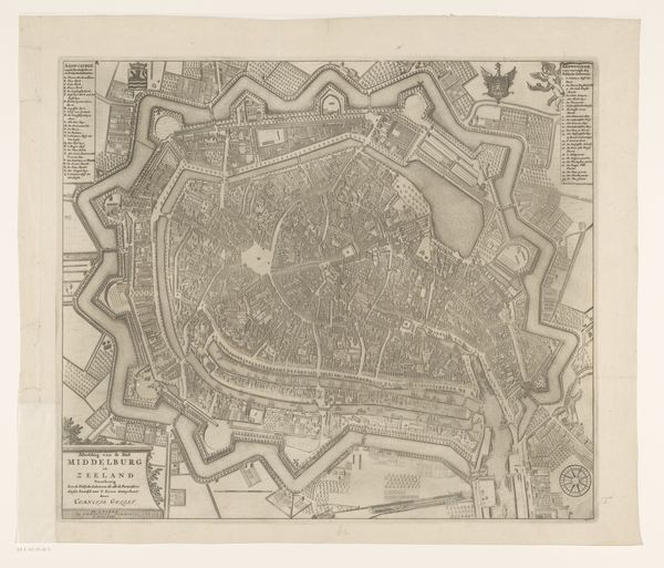
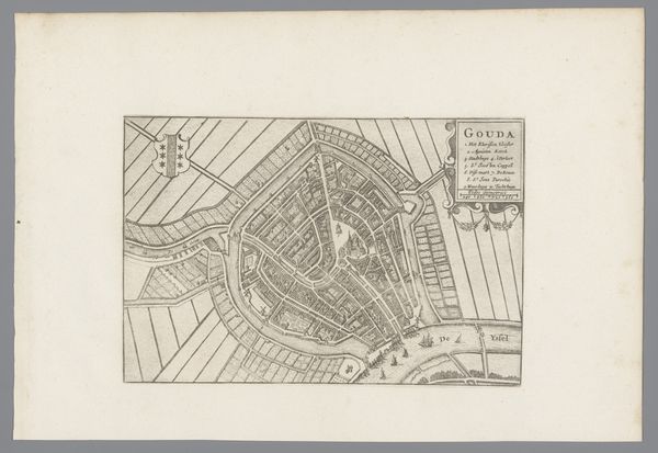
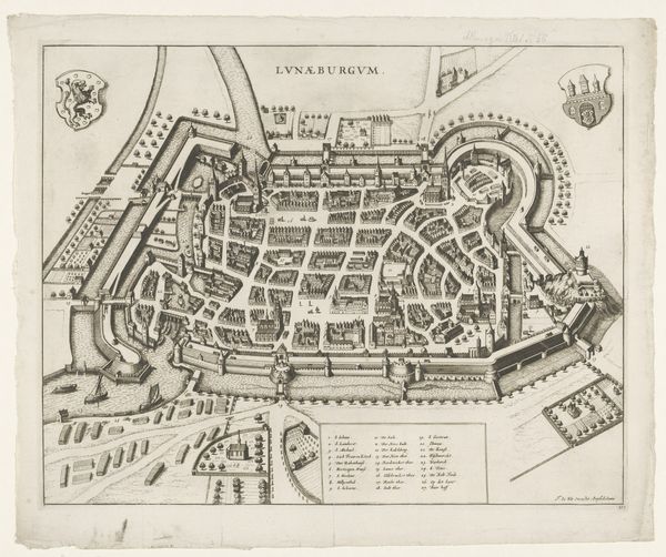
Wenceslaus Hollar's "Plattegrond van Osnabrück" is an etching that offers us a bird's-eye view of the German city. Made during a time of religious and political upheaval in Europe, this map isn't just a geographical record, it's a statement about power, trade, and urban planning. Hollar, a Bohemian engraver active across Europe, creates meaning through meticulous detail. The walled city, the strategically placed fortress, the gridded fields, and the waterways—they all speak to Osnabrück’s importance. Made during the 17th century, this city held significance as one of the locations where the Peace of Westphalia was negotiated, ending the Thirty Years' War. It's clear to see how Osnabrück was a key player in the reshaping of European politics and religious tolerance. As historians, we can delve into archives and other collections to understand the economic structures that shaped the city. By looking at town records, trade agreements, and even architectural plans, we can gain insight into how this image reflects its society and its institutions.
Comments
No comments
Be the first to comment and join the conversation on the ultimate creative platform.
