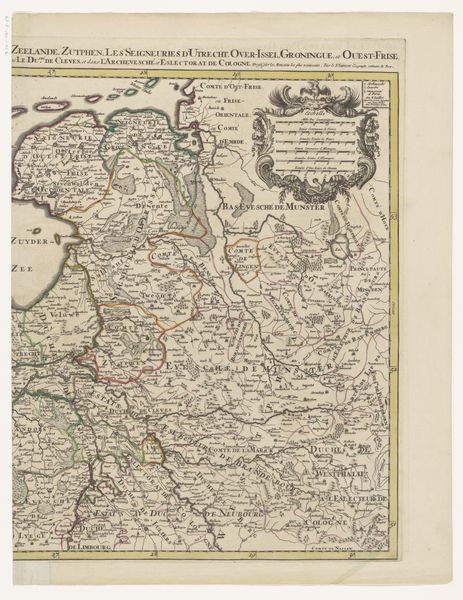
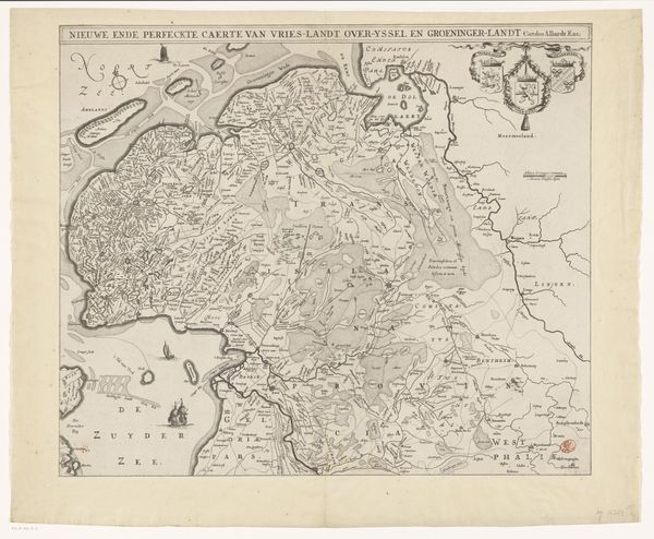
Historische kaart van Nederland met de gebieden van de Bataven en Friezen 1747 - 1759
0:00
0:00
anonymous
Rijksmuseum
graphic-art, print, paper, ink, engraving
#
graphic-art
# print
#
pen illustration
#
old engraving style
#
paper
#
ink
#
geometric
#
ancient-mediterranean
#
history-painting
#
engraving
Dimensions: height 295 mm, width 353 mm
Copyright: Rijks Museum: Open Domain
This "Historical Map of the Netherlands with the territories of the Batavians and Frisians" was made anonymously, using etching, in the Netherlands. Although undated, the map reflects the cultural and political landscape of the Dutch Republic, likely during the 17th or 18th century. The map is more than just a geographical document; it's a statement about Dutch identity. By charting the lands inhabited by ancient tribes, the map connects the contemporary Netherlands to a heroic past, a common practice in early modern Europe to legitimize national identity. This visual representation of history served to solidify a sense of collective identity, particularly important in the Dutch Republic, which had only recently gained independence. The map is a product of its time, reflecting the growing importance of cartography in trade, military strategy, and national self-conception. To truly understand this map, we can delve into archives and libraries, exploring historical texts, maps, and political pamphlets. By understanding the social conditions that shape artistic production, we can reveal the complex meanings embedded in this historical artifact.
Comments
No comments
Be the first to comment and join the conversation on the ultimate creative platform.
More like this