drawing, paper, pen
#
drawing
#
landscape
#
river
#
paper
#
coloured pencil
#
sketchbook drawing
#
pen
#
cityscape
Dimensions: height 182 mm, width 227 mm
Copyright: Rijks Museum: Open Domain
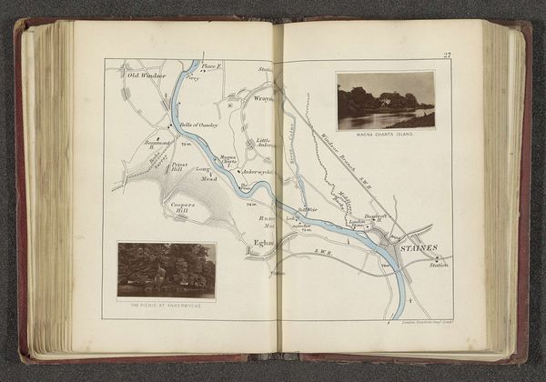
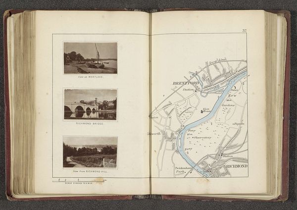
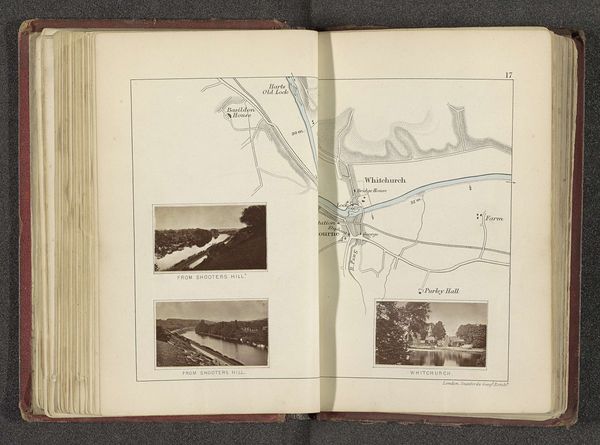
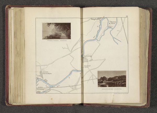
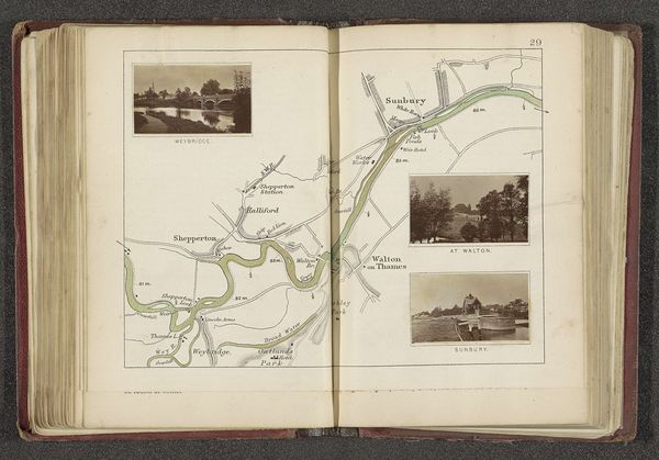
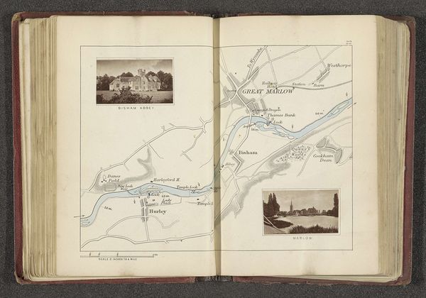
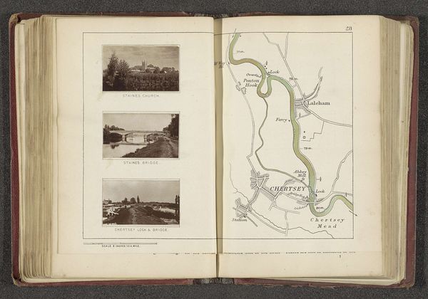
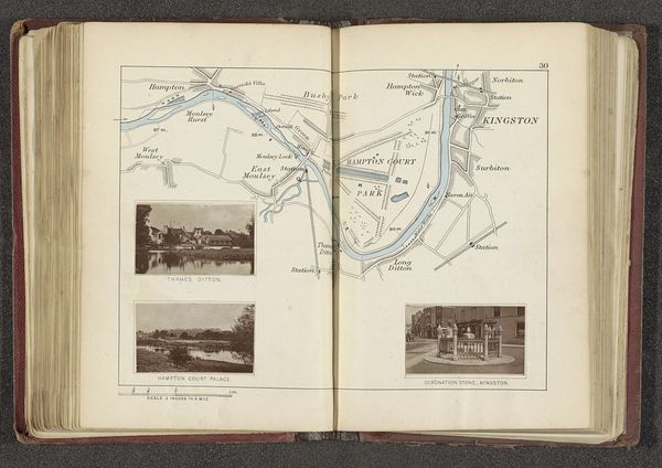
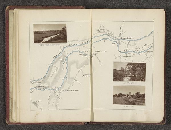
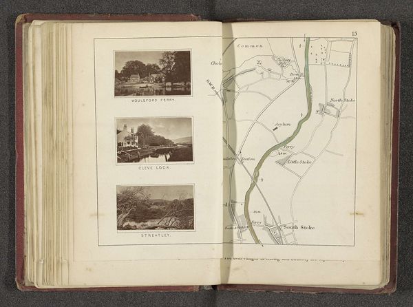
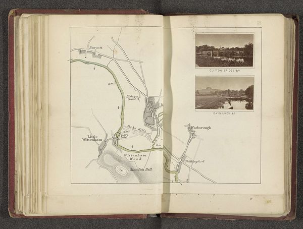
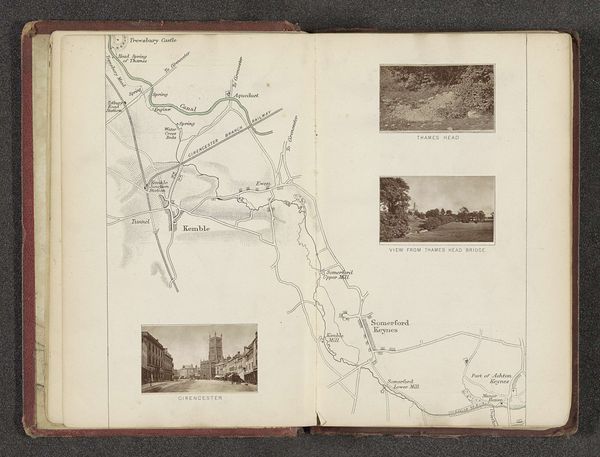
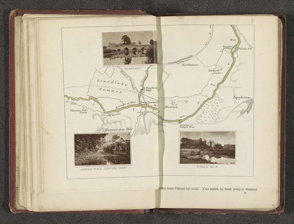
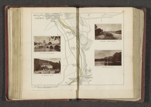
Curator: Let’s delve into this fascinating page from a sketchbook by Henry W. Taunt, predating 1879. It's titled "Kaart met drie afbeeldingen van plaatsen langs de Theems," or "Map with three images of places along the Thames." It seems to be a mixed-media work, combining pen, coloured pencil, and what looks like graphite on paper. Editor: It’s an unusual composition, quite documentary, really. I’m struck by the stark contrast between the schematic precision of the map and the three embedded landscape vignettes, which have a certain painterly quality. There's almost a visual hierarchy playing out, with the river as the focal spine. Curator: Indeed. This blending of cartographic representation and artistic rendering reflects a prevalent Victorian interest in visually documenting and organizing the natural world. Note how Taunt uses the map not just as a spatial guide but as a framework to showcase distinct scenic views along the Thames. Think about the rise of tourism during this period, enabled by rail travel; Taunt is offering a picturesque itinerary. Editor: From a formal perspective, consider the framing. The crisp borders of the three inserted scenes--MapleDurham, Caversham, and Hardwicke--contrast starkly with the softer, sketch-like qualities of the hand-drawn map, creating this sense of visual layering. The colour palette, mostly muted grays and blues, also reinforces a mood of placid reflection. Note how the river in the map acts like a negative space visually unifying all sections. Curator: I think the act of sketching and documenting landscapes like these speaks to broader socio-political issues. Mapping was not just about geography but also about power—about claiming and understanding territory. The Thames, a crucial artery for trade and industry, would have been laden with associations of national identity and imperial reach. These drawings bring a personalized touch to this wider story. Editor: Yes, and if you analyze these small landscape pictures, it would appear that these places are more about the calm pleasures offered by the river: recreation, quiet observation of nature… less on the hustle and bustle of economy. Curator: Looking at this page offers us insight into how the Victorians perceived and represented their world—blending science, aesthetics, and empire in a single sketchbook page. Editor: Absolutely, and the tight formal composition provides a structure where seemingly opposing aesthetics of documentation and dreamy art manage to complement each other to great effect.
Comments
No comments
Be the first to comment and join the conversation on the ultimate creative platform.
More like this