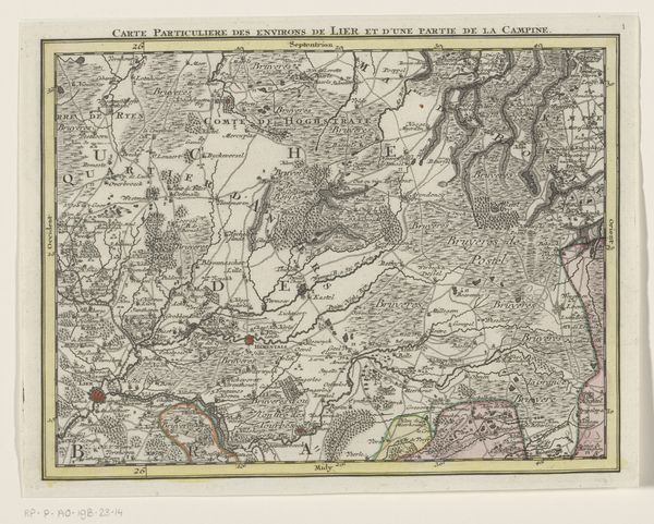
Topographische kaart van den Bommelerwaard en omstreken, met aanwyzing der doorbraken en overstroomde gedeelten, in't begin der 1861 1861
0:00
0:00
graphic-art, print, etching
#
graphic-art
# print
#
etching
#
landscape
#
etching
#
realism
Dimensions: height 604 mm, width 740 mm
Copyright: Rijks Museum: Open Domain
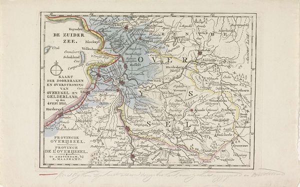
This topographical map of the Bommelerwaard and its surroundings by A.J. Smulders, created in 1861, illustrates the region’s breaches and flooded areas, capturing a moment of crisis. The dominant symbol here is water, both as a life-giving element and a destructive force. Historically, water motifs are deeply ingrained in human consciousness. Think of the Mesopotamian myths of the Great Flood or the biblical narratives of Noah's Ark. These tales echo across cultures, reflecting a collective anxiety about nature's power to overwhelm and erase human endeavors. Here, in the Bommelerwaard, the map shows not just land, but also watery chaos. The flooded areas are like memories of trauma etched into the landscape, and provoke a visceral reaction tied to primordial fears. Consider how the depiction of the sea—from ancient Greek pottery to Romantic paintings—often oscillates between serene beauty and violent turbulence. The cultural memory of floods taps into a subconscious recognition of our vulnerability. As we contemplate this map, we're not just observing geography but also confronting deep-seated fears and cyclical patterns of destruction and renewal.
Comments
No comments
Be the first to comment and join the conversation on the ultimate creative platform.
