graphic-art, print, watercolor, engraving
#
graphic-art
#
water colours
#
baroque
# print
#
landscape
#
watercolor
#
engraving
#
watercolor
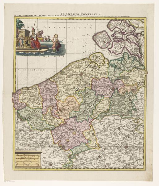
Dimensions: height 580 mm, width 503 mm
Copyright: Rijks Museum: Open Domain
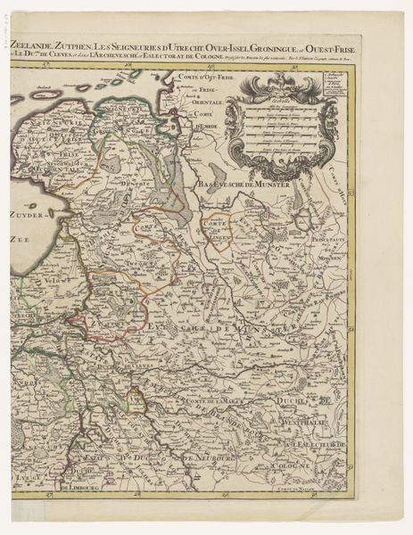
This is an anonymous map of the County of Flanders, and although undated, it likely reflects the shifting territorial claims during a period of conflict. The map is titled "Theatre de la Guerre", signaling the region as a site of military conflict and political struggle. Notice how the upper left corner depicts a scene of conquest and submission, framing the region through a lens of power dynamics and colonial ambitions. The inclusion of coats of arms and heraldic symbols further emphasizes the importance of lineage and authority in shaping the region's identity. This map wasn't just a geographical tool; it was a statement of power, laying claim to land and resources amidst ongoing tensions. Think about the human stories embedded within these borders – the displacement, resistance, and resilience of communities caught in the crossfire. As we look at this artifact, we consider the ways in which maps can shape our understanding of history, identity, and the ever-contested spaces we call home.
Comments
No comments
Be the first to comment and join the conversation on the ultimate creative platform.
More like this