1612
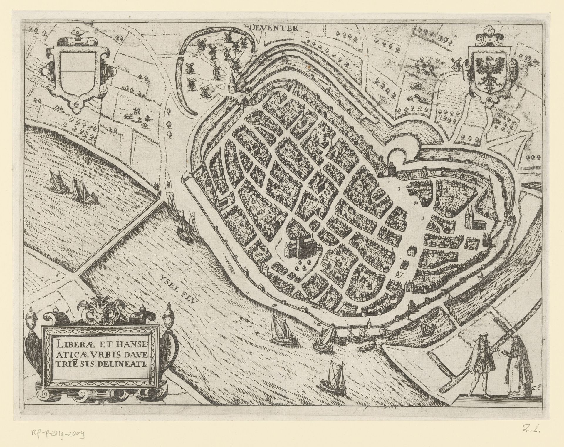
Plattegrond van Deventer
Anonymous
@anonymousLocation
RijksmuseumListen to curator's interpretation
Curatorial notes
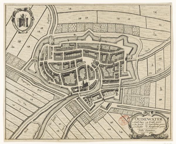
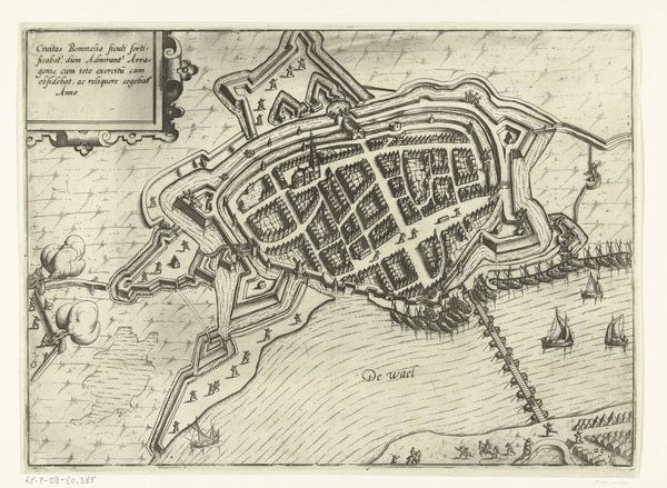
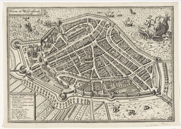
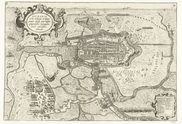
This is an anonymous, undated map of Deventer, likely made as an engraving. The image presents the city as an ordered, self-contained unit surrounded by water. Its production and circulation were deeply embedded in the political and economic contexts of the time. Made in the Netherlands, it reflects the rise of cartography as a tool of governance and commerce in the early modern period. The inclusion of coats of arms and Latin text suggests an intended audience of educated elites and merchants. Deventer was a prominent member of the Hanseatic League, a medieval trading network, and the map underscores the city's economic importance. The meticulous detailing speaks to a growing interest in empirical observation. Historians use maps like this, alongside civic records, trade documents, and archeological findings to understand the complex social, economic, and political factors that shaped early modern Europe. The map offers a glimpse into a specific time and place.