1794
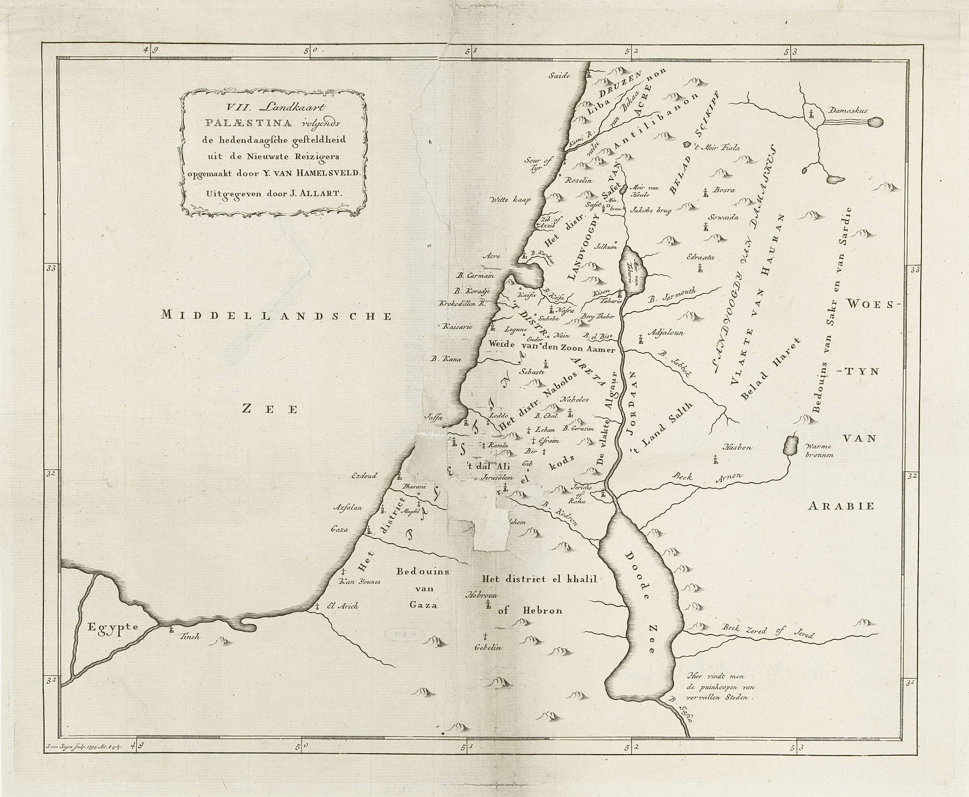
Kaart van gedeelte van Palestina
Listen to curator's interpretation
Curatorial notes
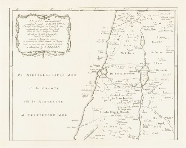
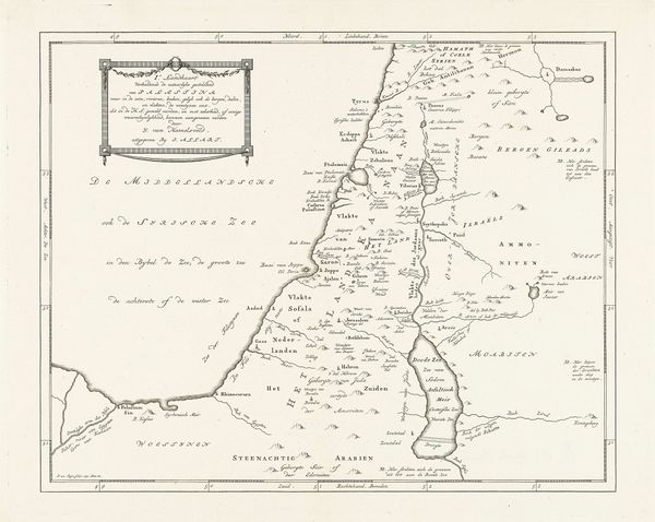
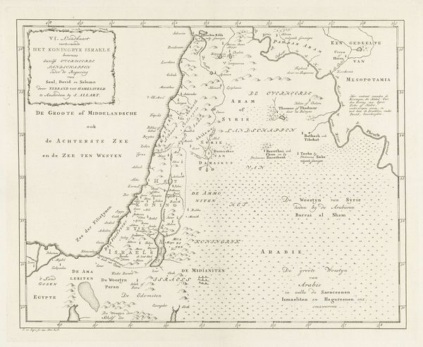
This map of Palestine, rendered by Jan van Jagen around the 18th century, presents a cartographic vision deeply embedded in the cultural and religious narratives of its time. Look closely, and you will see the dominance of place names. The symbolic power of geographical locations, like the Dead Sea, resonates through centuries; from ancient religious texts to contemporary political discourse, these names are loaded with historical and emotional weight. The depiction of cities such as Hebron acts as a symbolic anchor, drawing upon collective memories of biblical narratives. Consider how such maps, in their seemingly objective representation of space, subtly reinforce cultural and religious identities. It is a palimpsest, where each layer of history is inscribed, influencing our perception of this land. This intersection of geography, memory, and identity reveals the potent, enduring influence of symbols in shaping our understanding of the world.