graphic-art, print, etching, engraving
#
graphic-art
#
baroque
# print
#
etching
#
old engraving style
#
ink line art
#
line
#
engraving
Dimensions: height 511 mm, width 591 mm
Copyright: Rijks Museum: Open Domain
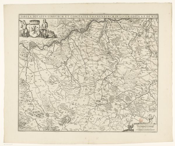
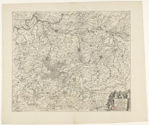
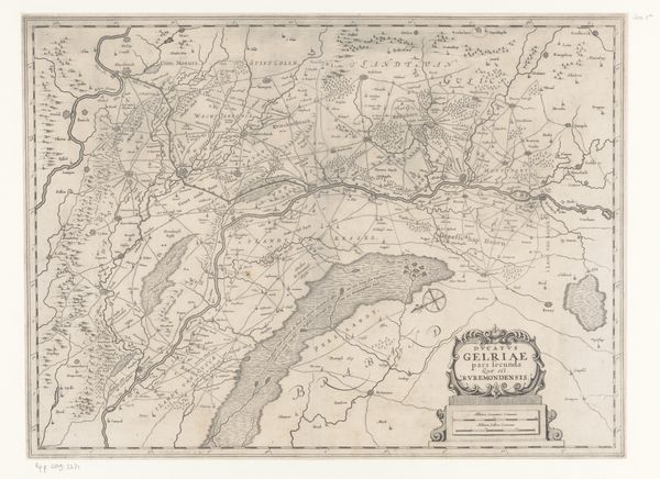
Albert Schut created this 'Kaart van Polen', or Map of Poland, using etching, a printmaking process that demands precision. Here, a metal plate, likely copper, is coated with a waxy, acid-resistant substance. The artist then scratches into this coating with a needle, exposing the metal. When the plate is immersed in acid, the exposed lines are eaten away, creating grooves. Ink is then forced into these grooves, the surface wiped clean, and the image transferred to paper under high pressure. The fine lines and intricate details – the rivers, cities, and regional boundaries – speak to the skill required. But beyond technique, this map embodies power. Cartography in this era was not just about geography; it was about claiming territory, defining borders, and projecting authority. The map’s precise lines and ordered layout present Poland as a knowable, governable space. This act of measuring and representing was deeply intertwined with political and economic control. So, when you look at this map, consider it not just as a depiction of place, but as an artifact of ambition, made with skill and imbued with the power to shape perception.
Comments
No comments
Be the first to comment and join the conversation on the ultimate creative platform.
More like this