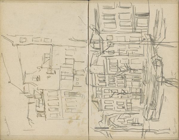
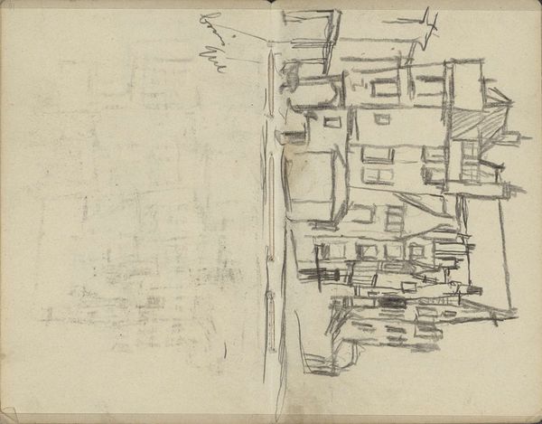
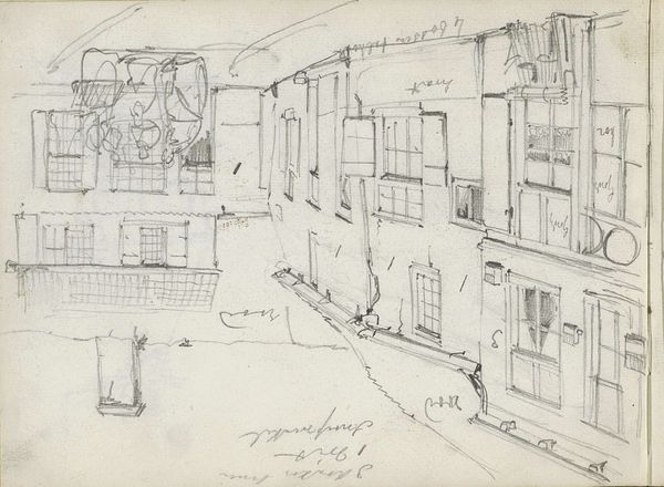
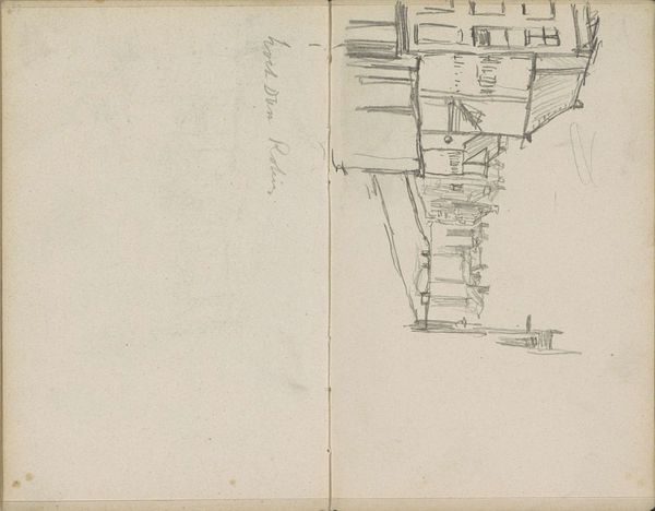
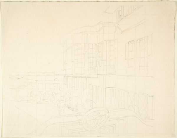
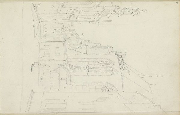
drawing, pencil
#
drawing
#
neoclacissism
#
hand written
#
etching
#
pencil
#
cityscape
Dimensions: height 208 mm, width 333 mm
Copyright: Rijks Museum: Open Domain
Jan Brandes made this pencil drawing, titled 'Plattegrond van Greifswald', or 'Map of Greifswald', in the late 18th or early 19th century. The map gives a bird's eye view of the city, with an emphasis on its planned structure. The neat grid of streets and blocks demonstrates a rational approach to urban planning characteristic of the Enlightenment. The fortifications around the city, while visible, are softened, perhaps suggesting a move away from purely military considerations in city design. Greifswald, located in Pomerania, had a rich history as a Hanseatic city and a university town. Brandes' map, with its attention to detail and clear layout, may have served a practical purpose for administrators or academics. More broadly, it reflects the growing interest in cartography and urban studies during this period. To better understand Brandes’ influences and intentions, further research into his life and other works would be beneficial, along with investigation into the urban planning trends in late 18th century Germany.
Comments
No comments
Be the first to comment and join the conversation on the ultimate creative platform.
More like this