architectural sketch
natural stone pattern
rippled sketch texture
naturalistic pattern
bold pencil line
linocut print
architectural section drawing
architectural drawing
pattern repetition
layered pattern
Dimensions: height 405 mm, width 295 mm
Copyright: Rijks Museum: Open Domain
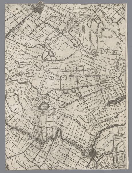
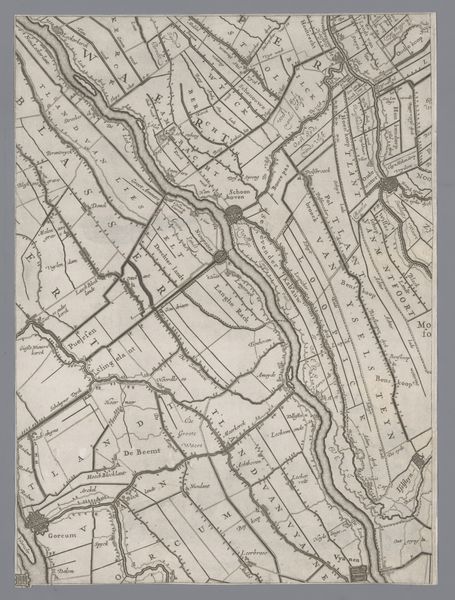
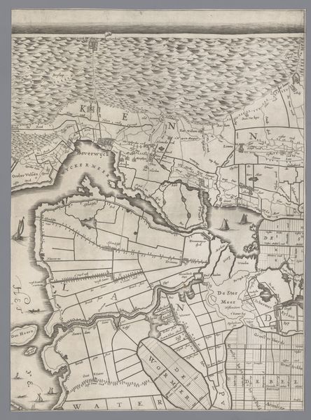
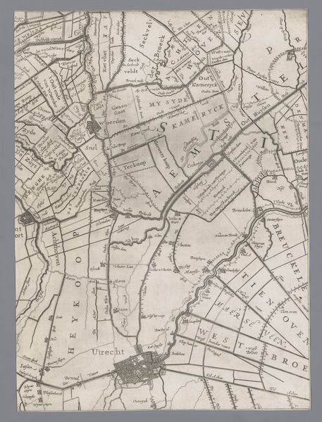
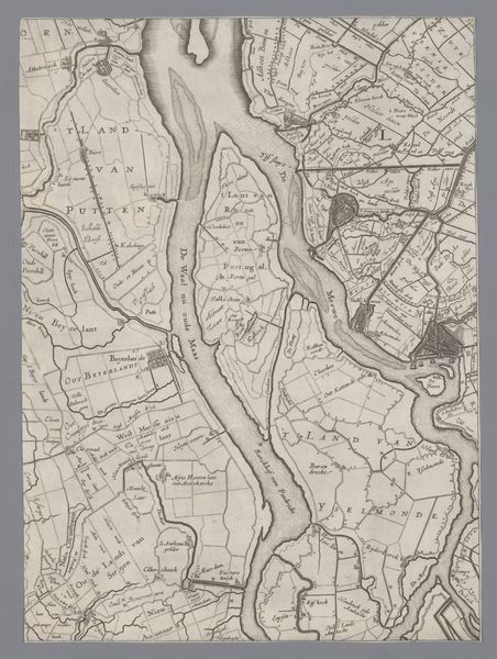
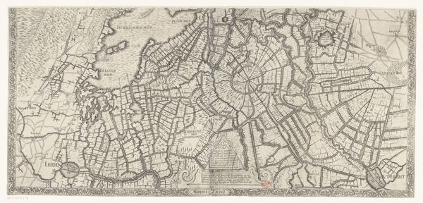
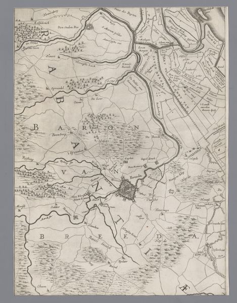
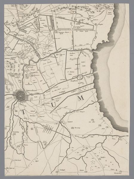
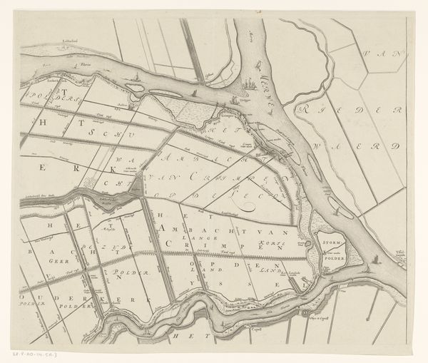
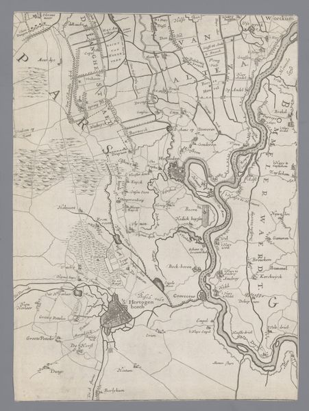
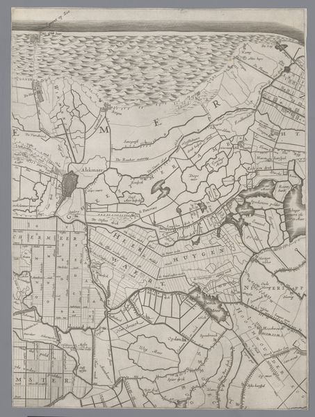
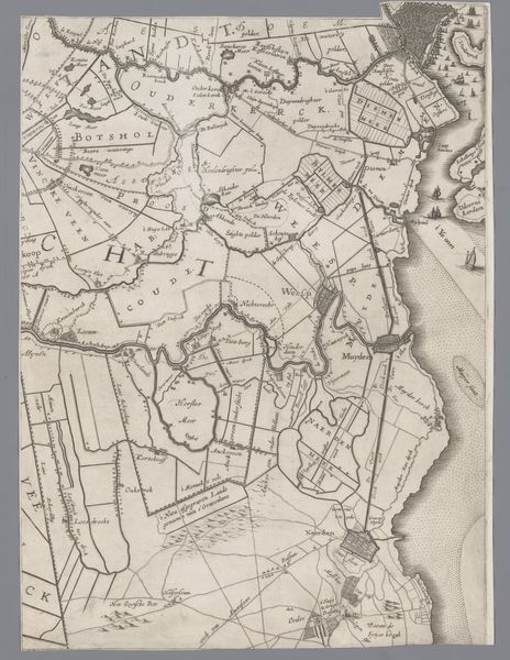
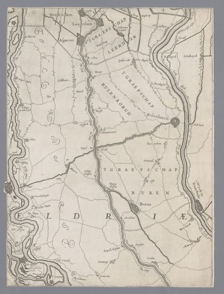
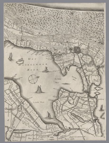
Jacob Aertsz. Colom created this map of Holland and Utrecht some time during the 17th century, a period known as the Dutch Golden Age. It was an era marked by unprecedented economic growth and social change, fueled by maritime trade and colonial expansion. The map offers a window into the way land, power, and identity were understood and negotiated in the Netherlands. The detailed depiction of polders, bodies of water, and land divisions reflects not only geographical accuracy, but also the Dutch mastery of hydraulic engineering. This was essential to their economic and territorial expansion. The map also brings up questions about the people who lived and worked on this land. It prompts us to think about their relationship to the environment, the labor that shaped the landscape, and the social structures that governed their lives.
Comments
No comments
Be the first to comment and join the conversation on the ultimate creative platform.