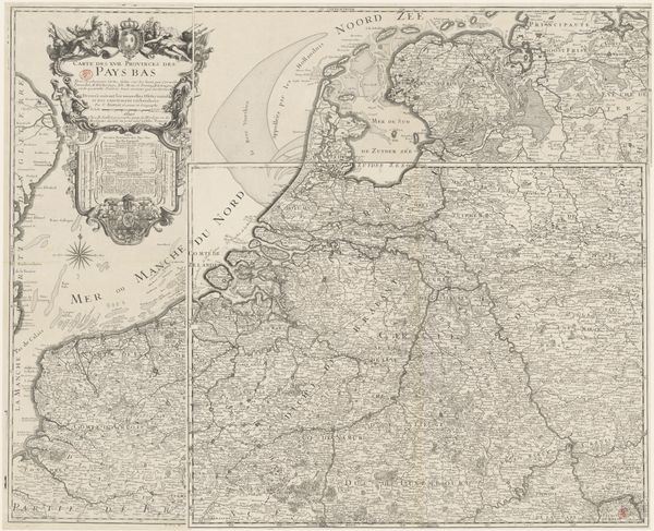
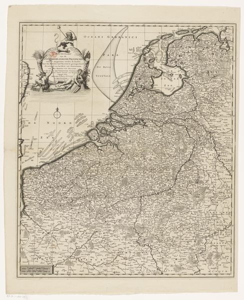
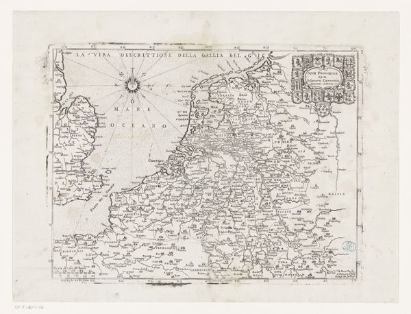
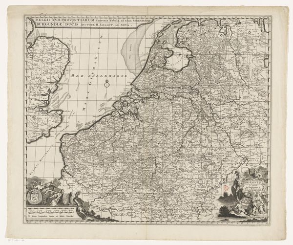
print, engraving
#
baroque
# print
#
landscape
#
engraving
Dimensions: height 527 mm, width 605 mm
Copyright: Rijks Museum: Open Domain
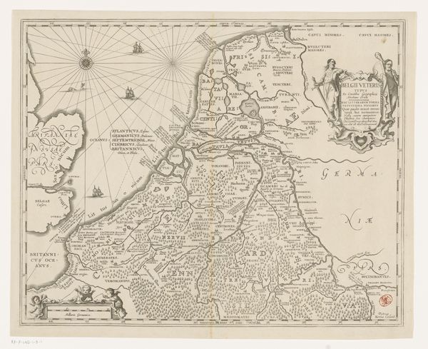
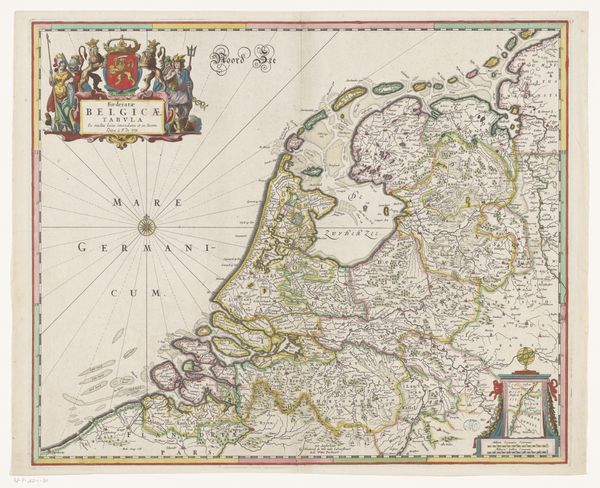
This is an anonymous map of the Seventeen Provinces. The map is dominated by a complex network of lines. These lines delineate not just geographic boundaries but also construct an ordered space, reflecting a desire to impose structure on the world. The composition draws you in with its density of detail, yet this detail is presented within a clear structure. The coastline, rivers, and political divisions are rendered with equal precision. The map uses a symbolic language, each line and symbol a signifier within a semiotic system that communicates power, territory, and knowledge. The scale and precision of the map might be seen as challenging fixed, localized understandings of space. It presents a broader, more unified vision. The arrangement of information reflects a rational approach to understanding and representing the world. It underscores the map's function as a tool for navigation, administration, and the assertion of territorial claims. The map invites us to consider how such images not only reflect but also actively shape our understanding of geography, politics, and identity.
Comments
No comments
Be the first to comment and join the conversation on the ultimate creative platform.
More like this