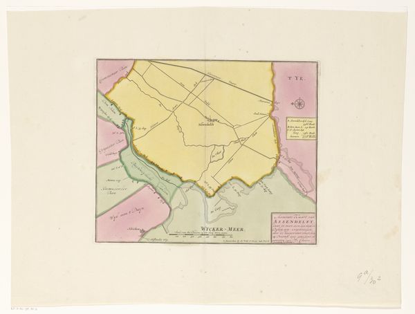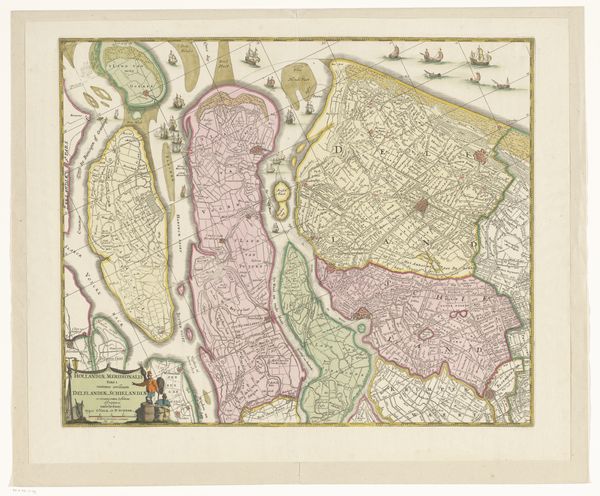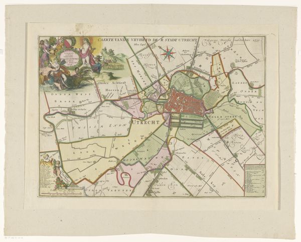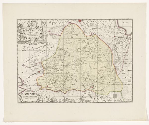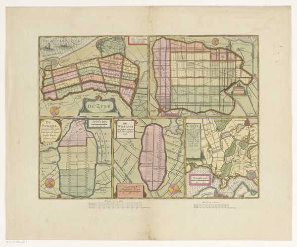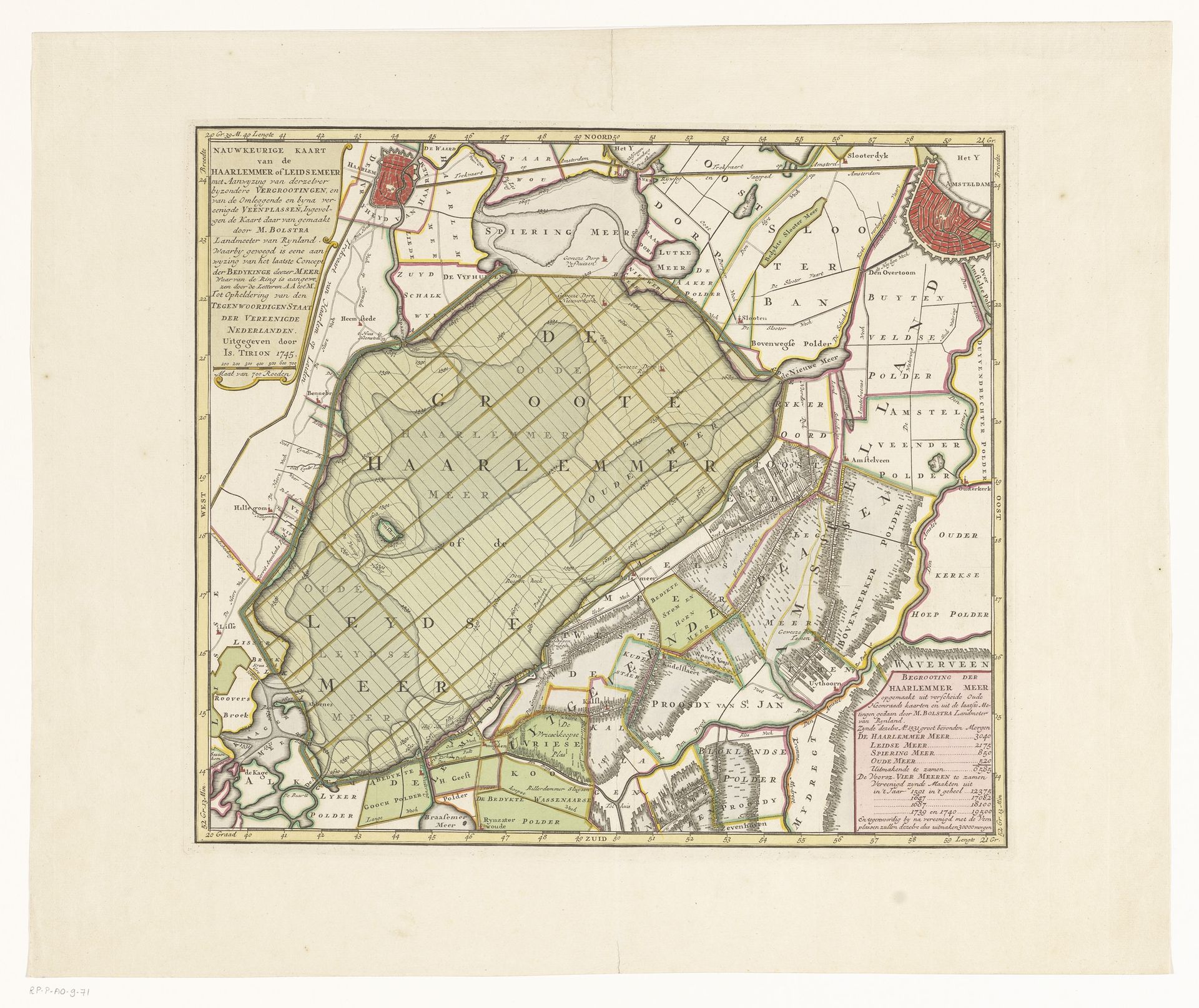
c. 1745 - 1769
Kaart van het Haarlemmermeer en omliggende gebieden
Listen to curator's interpretation
Curatorial notes
Editor: This is a fascinating engraving titled "Kaart van het Haarlemmermeer en omliggende gebieden," which translates to "Map of the Haarlemmermeer and surrounding areas." Created around 1745-1769, it gives us a birds-eye view through delicate etching. I am struck by how it renders the landscape in such an orderly way, almost imposing a sense of control. How do you interpret the significance of this work? Curator: It's interesting you pick up on the sense of control. This map is not just an objective representation of geography. It’s a visual assertion of power and governance. Consider the historical context. This map emerges during a period of intense land reclamation projects in the Netherlands. The Haarlemmermeer itself, a large lake, was eventually drained in the 19th century. Editor: So the map is also a form of advertisement or propoganda? Curator: Exactly. Maps like these were commissioned to promote these ambitious engineering projects, attracting investors and showcasing the potential for agricultural and economic development. The map isn't just showing the land; it's selling a vision of a transformed and productive landscape, with an illusion of certainty that’s quite powerful. Editor: That makes me think about the role of cartography beyond simple navigation. The choice of colors, the neatness of the lines...it all contributes to that narrative. What kind of influence did places commissioning art influence artists like the person who created this piece? Curator: The influence would have been considerable, certainly tied to patronage. Maps like this are visual documents of political and economic ambition, tools that reinforced and legitimized state power. I think what makes this piece striking, as a cultural artifact, is its layering of geographical data and implicit social commentary. Editor: It’s fascinating to see how something as seemingly straightforward as a map can be so loaded with historical and political meaning. Thanks for illuminating all of that. Curator: And thank you, your observations helped connect this work to much larger stories about our ambition to manage and transform the natural world.