drawing, print, ink, woodcut, pen
#
drawing
#
ink drawing
#
medieval
#
pen drawing
# print
#
landscape
#
ink
#
woodcut
#
pen
#
cityscape
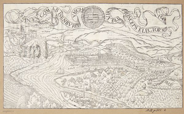
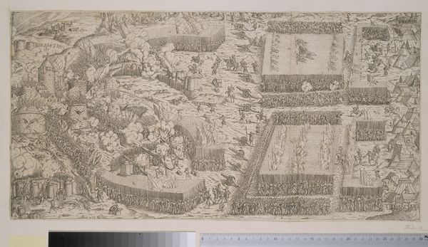
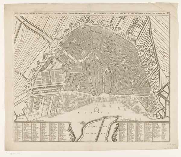
Dimensions: 210 mm (height) x 304 mm (width) (bladmaal)
Hans Rudolf Manuel Deutsch created this map of Bern without a known date using a pen and ink technique. At first glance, the detailed, almost bird's-eye view draws you in. The precise linework captures the city's layout, with the natural landscape providing a backdrop to the urban sprawl. The composition is structured to present both a practical and symbolic understanding of Bern. The orderly arrangement of buildings and roads reflects a desire for clarity and control. The surrounding hills and rivers aren't just geographical features but also visual cues of the city's strategic location. The banners and crests at the top add a layer of civic pride and identity. What's compelling here is how Deutsch uses the map to negotiate the relationship between the city's layout and its identity. The map serves not only as a record but also as a statement about the city's place in the world. By balancing precision and artistic expression, Deutsch transforms a simple map into a complex cultural artifact.
Comments
No comments
Be the first to comment and join the conversation on the ultimate creative platform.
More like this