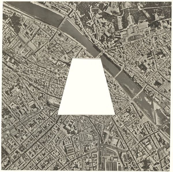
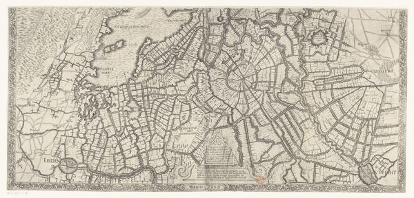
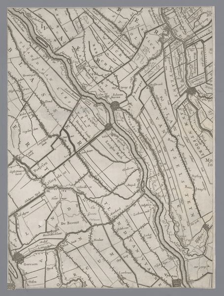
Map of Amsterdam with the Area between Emma-Plein, Europa-Plein, Ooster Park, Nieuwmarkt, and Bus Station Removed 1976
0:00
0:00
drawing
#
drawing
#
conceptual-art
#
cityscape
Dimensions: overall: 65.6 x 81.6 cm (25 13/16 x 32 1/8 in.)
Copyright: National Gallery of Art: CC0 1.0
Sol LeWitt created this map of Amsterdam by removing a portion of the city between several landmarks. The void at the center of the map immediately captures our attention. Blank space, or a deliberate absence, in art carries a weighty symbolic load. Consider the use of the "horror vacui"– the fear of empty space. Ancient cultures, such as those in classical Greece or medieval illuminated manuscripts, often filled every possible area with intricate designs, as if to ward off some unknown dread. The stark emptiness in LeWitt's map becomes a symbol of loss, or perhaps a commentary on the fleeting nature of urban existence, reminiscent of the concept of "damnatio memoriae," where a person's existence is erased from history. This act of removal prompts us to ponder what that absence truly signifies. What did those neighborhoods represent? What cultural memories are now obscured? It is through the understanding of such omissions that we may find a deeper connection to the past and a heightened awareness of the present.
Comments
No comments
Be the first to comment and join the conversation on the ultimate creative platform.
More like this