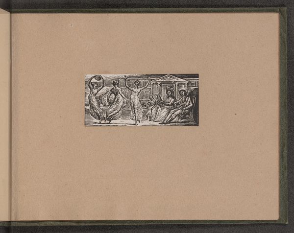
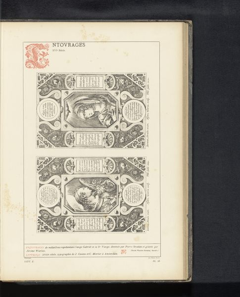
drawing, print, paper, watercolor
#
drawing
#
water colours
#
dutch-golden-age
# print
#
paper
#
watercolor
#
coloured pencil
#
geometric
#
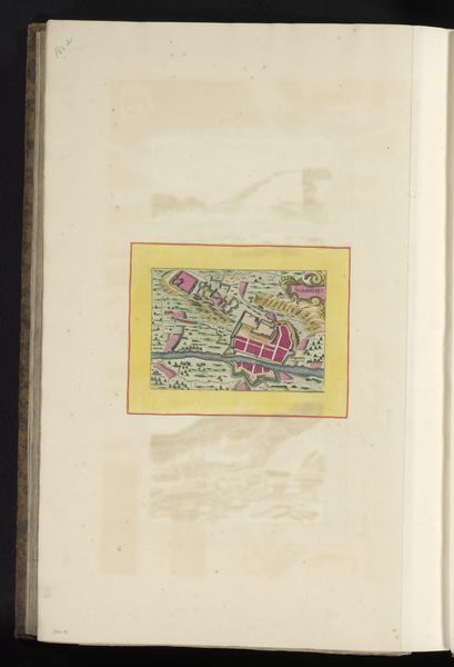
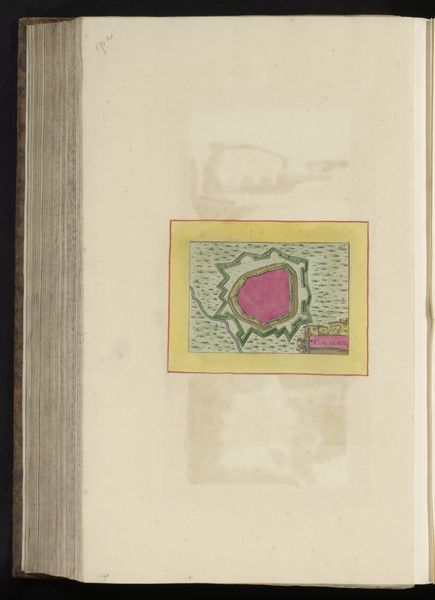
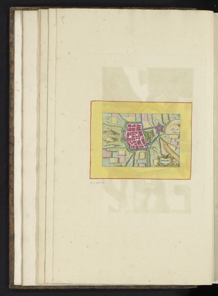
cityscape
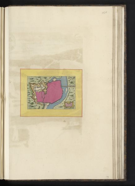
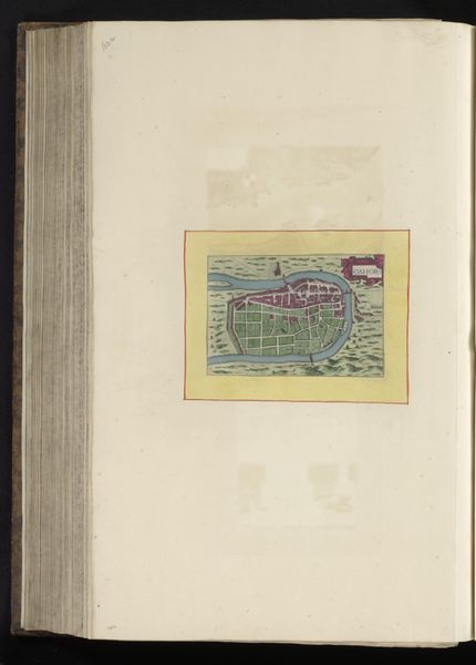
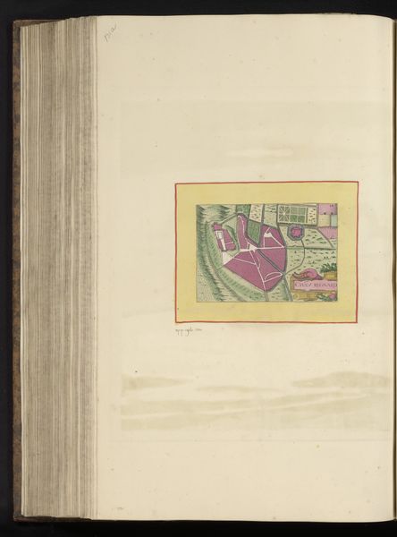
Dimensions: height 103 mm, width 150 mm, height 532 mm, width 320 mm
Copyright: Rijks Museum: Open Domain
This is an anonymous plan of Toulouse, appearing in an early modern atlas. The plan depicts the city as seen from above, encircled by walls, with the Garonne River snaking through it. The production of city plans like this one served both practical and symbolic purposes. They were used for military planning and administrative control, but also as tools for civic pride. This image allows us to consider how Toulouse was perceived and presented during a period of urban growth and transformation. The map's visual codes, such as the distinct depiction of buildings, streets, and fortifications, convey information about the city's infrastructure and spatial organization. By examining archival sources like municipal records, travel accounts, and other cartographic materials, we can contextualize this plan within Toulouse's urban, social, and political history. Understanding art like this requires us to consider its contingent nature, appreciating that its meanings are shaped by the specific social and institutional contexts in which it was created and circulated.
Comments
No comments
Be the first to comment and join the conversation on the ultimate creative platform.
More like this