print, etching, engraving, architecture
#
architectural sketch
#
aged paper
# print
#
etching
#
sketch book
#
landscape
#
etching
#
personal sketchbook
#
sketchwork
#
pen work
#
sketchbook drawing
#
cityscape
#
sketchbook art
#
engraving
#
architecture
#
initial sketch
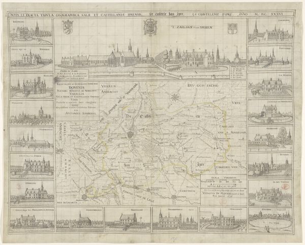
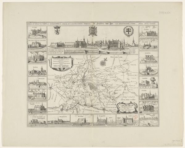
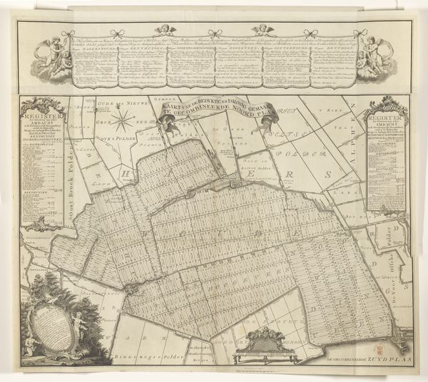
Dimensions: height 530 mm, width 659 mm
Copyright: Rijks Museum: Open Domain
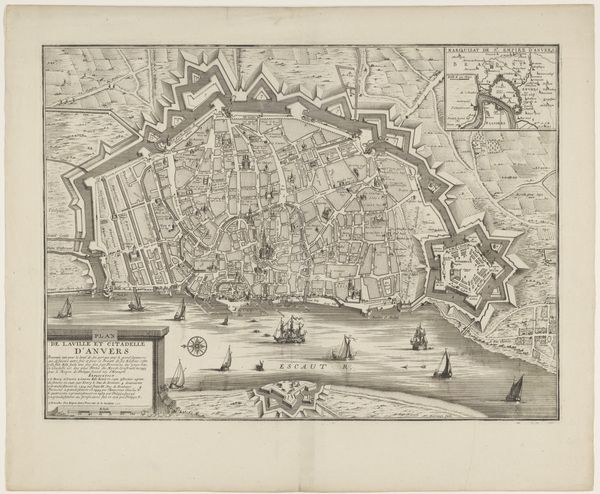
This detailed map of Belle-Ambacht was created by Vedastus du Plouich, and is an engraving – a print made by incising lines into a metal plate, inking it, and pressing it onto paper. Look closely and you’ll see the intricate network of lines that define the region’s geography. The dense hatching suggests a real commitment to representing the territory, and all the resources that it could offer. Engravings like these were not just about art; they were tools of power. The choice of engraving speaks to the rising influence of print culture, and the commercialization of knowledge that was then underway. The ability to reproduce images and information on a large scale had huge implications for trade and the control of territory. Consider the labor involved: from the initial surveying of the land, to the skilled hand of the engraver, and the work of the printing press. This map embodies a complex web of social, economic, and artistic forces, reminding us that even seemingly straightforward images have deep roots in material practices.
Comments
No comments
Be the first to comment and join the conversation on the ultimate creative platform.
More like this