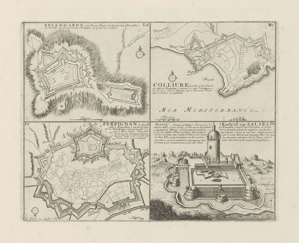
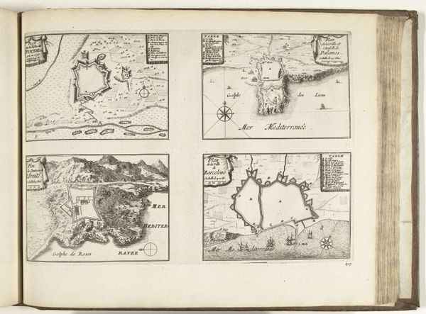
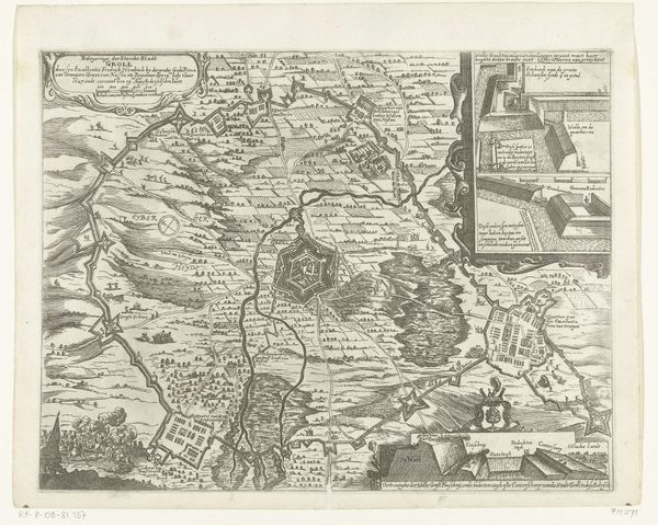
Plattegronden van Perpignan, Salces, Mont-Louis en Collioure, ca. 1702 1702 - 1703
0:00
0:00
anonymous
Rijksmuseum
print, engraving
#
baroque
# print
#
pen illustration
#
landscape
#
geometric
#
cityscape
#
engraving
Dimensions: height 115 mm, width 345 mm, height 121 mm, width 343 mm
Copyright: Rijks Museum: Open Domain
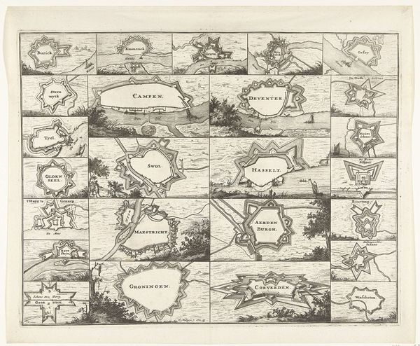
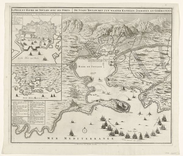
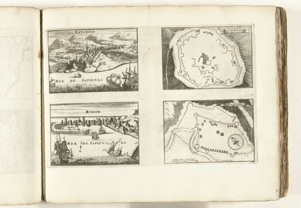
This is an engraving of the Plattegronden van Perpignan, Salces, Mont-Louis en Collioure, made around 1702 by an anonymous artist. The work presents four distinct maps, each a study in contrasts between organic and geometric forms. The upper-left map of Perpignan is dominated by curvilinear shapes, as the river meanders through the landscape contrasting against the geometric shape of the fortress. Juxtaposed with this, the map of Salces features a rigid, star-shaped citadel set against the backdrop of undulating hills. Notice how the formal tension between these elements animates each map. The lines define not just geographic features but also create a sense of depth. In the bottom half, Mont-Louis is depicted with similar geometric precision, while Collioure showcases a more naturalistic rendering of the coastline. This interplay isn't just representational but engages with the broader cultural codes of the time, reflecting an interest in both strategic control and the picturesque. The visual language is rich with signs, inviting us to interpret not just the geography, but the power dynamics inscribed within.
Comments
No comments
Be the first to comment and join the conversation on the ultimate creative platform.
More like this