About this artwork
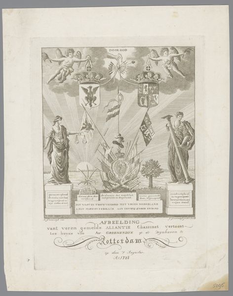
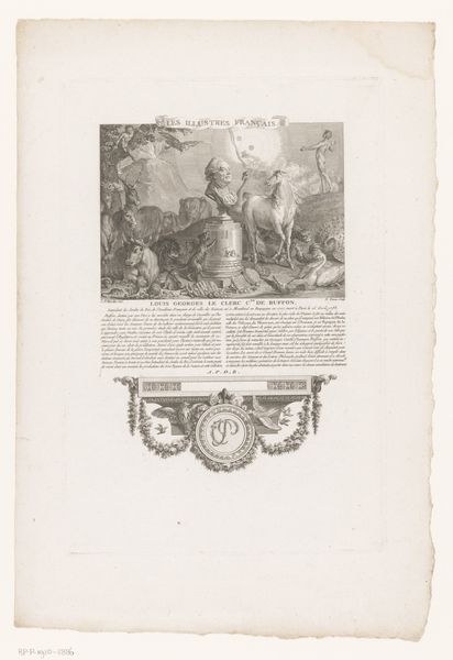
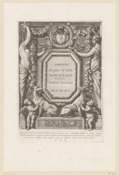
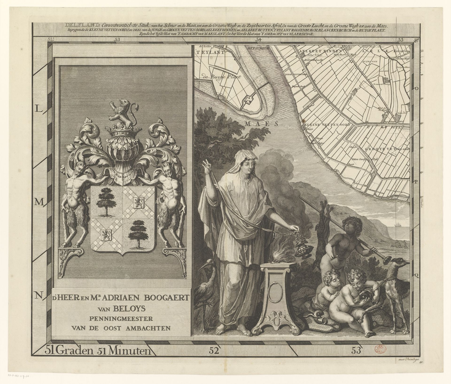
Luggert van Anse created this map of the Delfland region using engraving techniques. The map provides a detailed look at the landscape and waterways. Beyond its geographical function, the map offers a glimpse into the cultural and social values of the time. A key feature is the inclusion of figures, which seem allegorical. Notice a lighter-skinned woman accompanied by a darker-skinned figure. These images reflect prevailing societal hierarchies, where European figures often represented power and civilization, while non-European figures were frequently depicted in subservient roles. The map can be viewed through an intersectional lens, prompting questions about race, class, and the distribution of power within the Delfland region and beyond. This map invites us to consider the complex interplay between cartography, identity, and representation. How does this map perpetuate or challenge existing social norms? It encourages us to reflect on the historical context in which it was created, while acknowledging the emotional and personal dimensions of how we engage with it today.
Kaart van het Hoogheemraadschap van Delfland (eenentwintigste deel)
1712 - 1735
Artwork details
- Medium
- print, etching, engraving
- Dimensions
- height 520 mm, width 589 mm
- Copyright
- Rijks Museum: Open Domain
Tags
Comments
Share your thoughts
About this artwork
Luggert van Anse created this map of the Delfland region using engraving techniques. The map provides a detailed look at the landscape and waterways. Beyond its geographical function, the map offers a glimpse into the cultural and social values of the time. A key feature is the inclusion of figures, which seem allegorical. Notice a lighter-skinned woman accompanied by a darker-skinned figure. These images reflect prevailing societal hierarchies, where European figures often represented power and civilization, while non-European figures were frequently depicted in subservient roles. The map can be viewed through an intersectional lens, prompting questions about race, class, and the distribution of power within the Delfland region and beyond. This map invites us to consider the complex interplay between cartography, identity, and representation. How does this map perpetuate or challenge existing social norms? It encourages us to reflect on the historical context in which it was created, while acknowledging the emotional and personal dimensions of how we engage with it today.
Comments
Share your thoughts