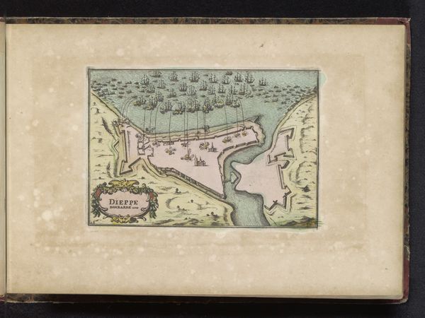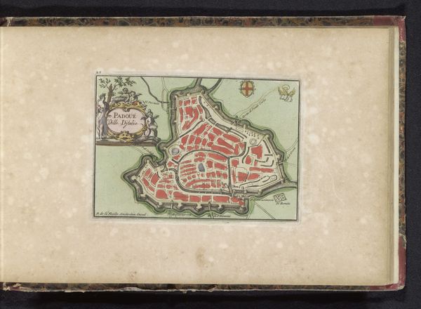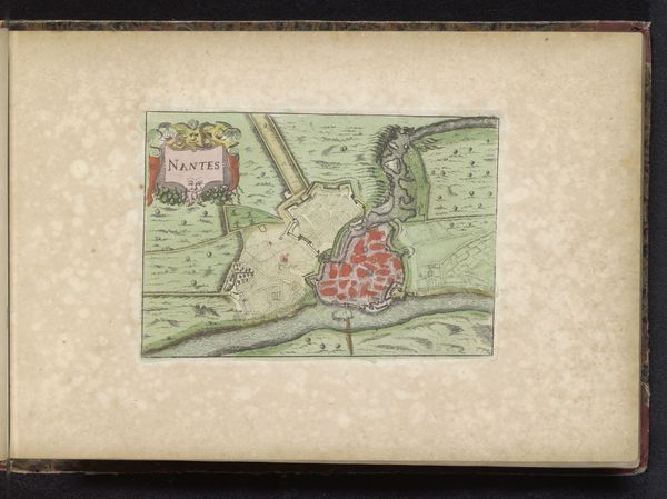
1700 - 1735
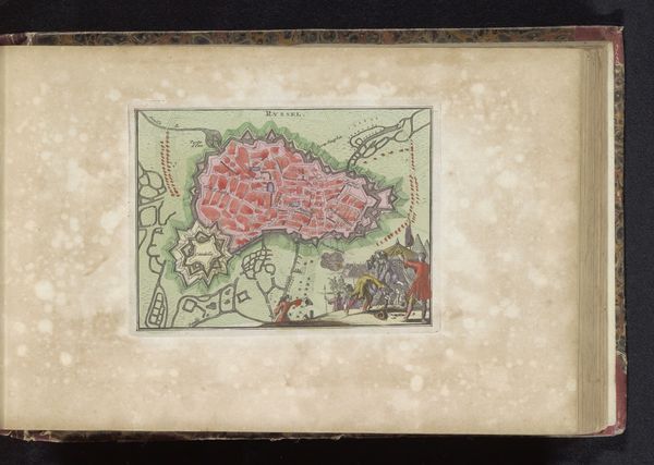
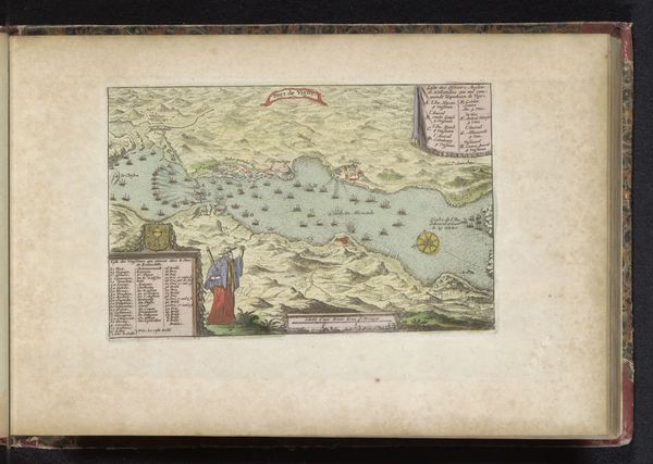
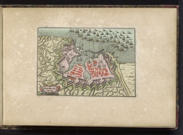
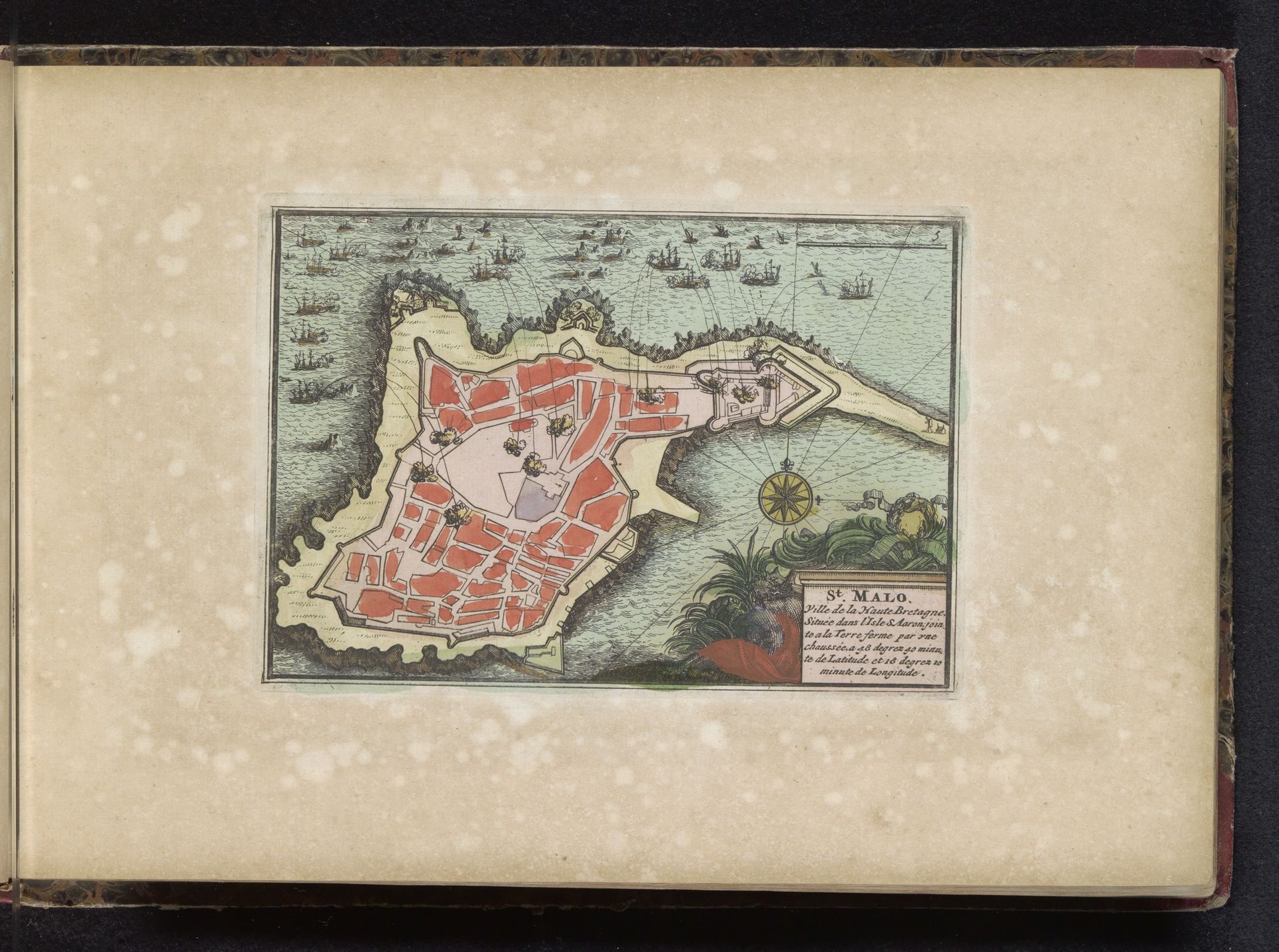
Bombardement van Saint-Malo, 1694
Listen to curator's interpretation
Curatorial notes
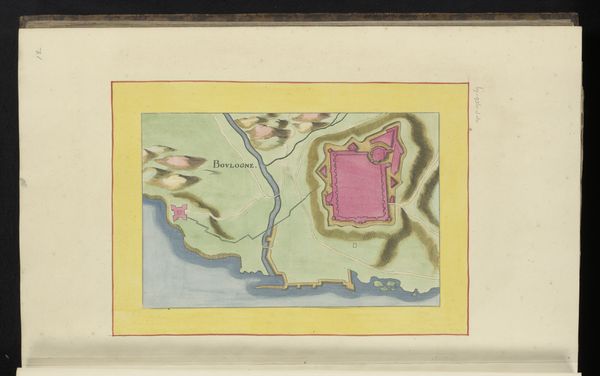
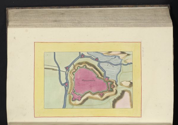
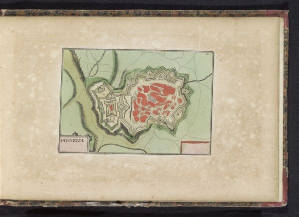
This is an anonymous print depicting the Bombardment of Saint-Malo in 1694. This image reflects the growing importance of cartography in warfare and political propaganda during the early modern period. The print offers a bird's-eye view of the French port city under attack by an Anglo-Dutch fleet. Note the detailed depiction of the city's layout, its fortifications, and the arrangement of the attacking ships. These visual elements are not merely descriptive; they serve to highlight the strategic dimensions of the conflict. This imagery can tell us a lot about the geo-political tensions of the period. The production of such images was often state-sponsored or aligned with specific political interests. It suggests a self-consciously progressive view of warfare as a matter of engineering and logistics. Examining such prints alongside military records, diplomatic correspondence, and period news reports can give us a deeper understanding of the relationship between art, power, and public opinion in the age of Louis XIV.