drawing, ink, pen, engraving
#
pen and ink
#
drawing
#
pen sketch
#
ink
#
geometric
#
pen
#
cityscape
#
engraving
Dimensions: height 311 mm, width 201 mm
Copyright: Rijks Museum: Open Domain
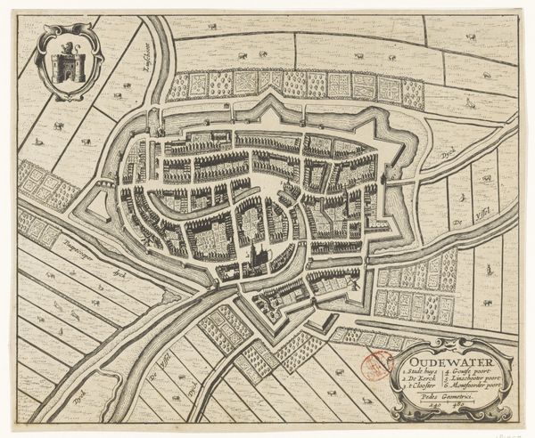
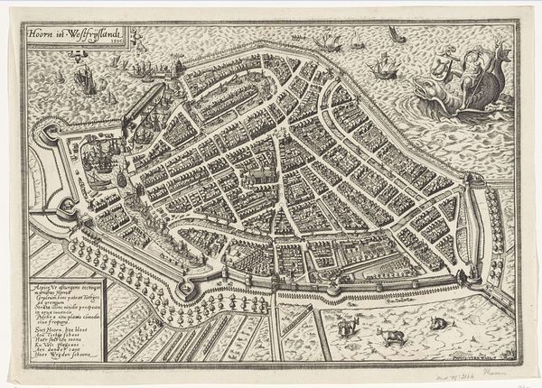
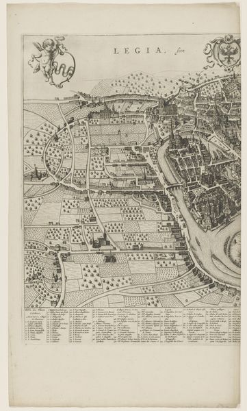
Editor: This is Frans Hogenberg's "Fragment van een plattegrond van Mechelen," created in 1616 using pen and ink. It looks like a detailed bird's-eye view map. What do you see when you look at this piece? Curator: I see more than just lines on paper; I see power structures and social control made visible. Cartography, especially in the 17th century, was an act of claiming space and solidifying authority. The precision with which Mechelen is rendered speaks volumes about the impulse to survey, categorize, and ultimately, to govern. Editor: Govern how? Curator: Think about who commissioned maps like these and why. This wasn't for the average person; it was likely for nobility, merchants, or military strategists. These maps gave them an advantage, a literal overview of their domain, its resources, its vulnerabilities. Look at the way the city is bordered - who is inside the walls, and who is left out? Consider who benefits from this representation and what ideologies it reinforces. The very act of mapping Mechelen imposes a particular order onto what was likely a more fluid, contested space. It’s a way of fixing identity, fixing territory. Editor: That makes a lot of sense. So, you're saying that maps aren't neutral; they're loaded with political meaning? Curator: Exactly! A map like this reinforces hierarchies, erases certain histories while privileging others. Even the visual language - the clean lines, the geometric forms - it all speaks to a desire for control and rationalization. Consider the role of the engraver. Were they Mechelen natives, or did they bring preconceived notions with them when rendering the image? Their social position inevitably shaped the artwork we see today. Editor: I never thought of a map as a political statement before! It gives me a lot to think about regarding perspective and whose story gets told. Curator: Precisely. Looking critically at something as seemingly objective as a map helps us understand the power dynamics inherent in representation itself. It’s a potent reminder to always ask: who is drawing the map, and for what purpose?
Comments
No comments
Be the first to comment and join the conversation on the ultimate creative platform.
More like this