print, paper, engraving
#
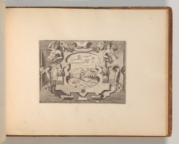
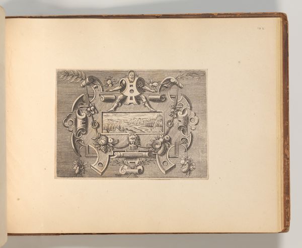
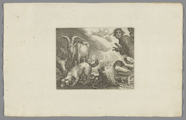
baroque
#
ink paper printed
# print
#
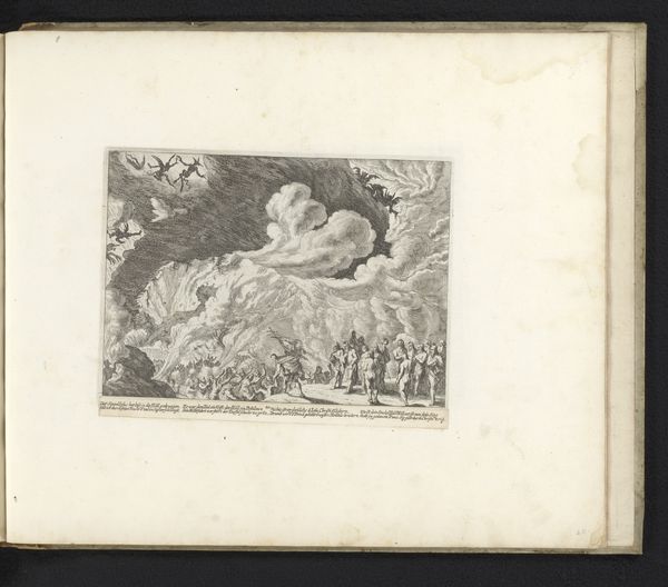
old engraving style
#
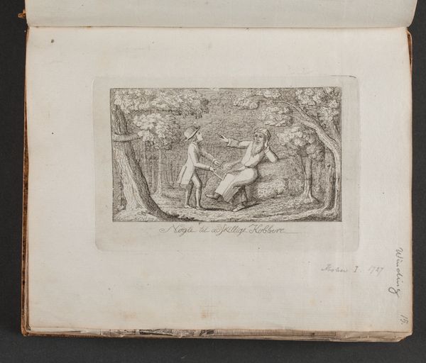
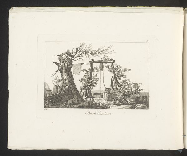
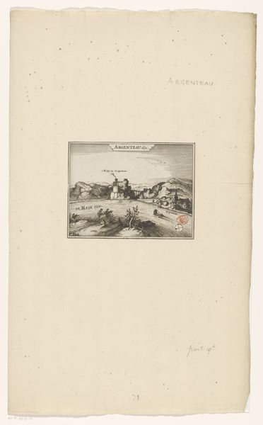
landscape
#
paper
#
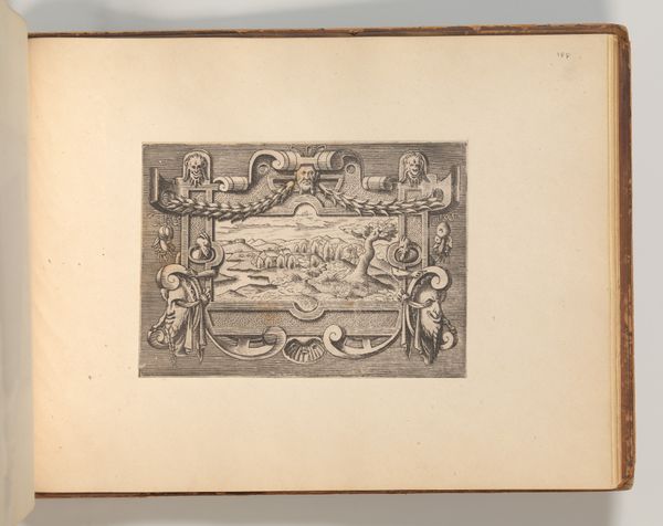
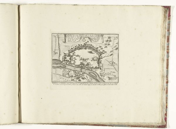
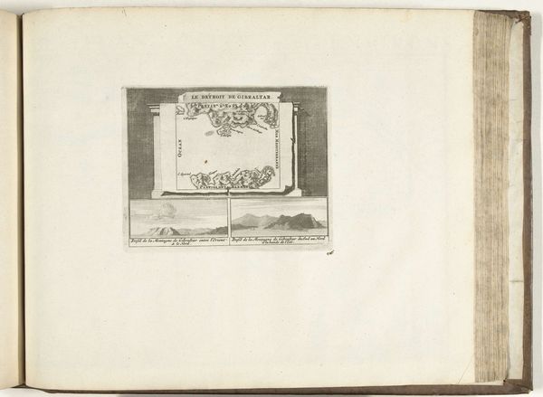
cityscape
#
engraving
Dimensions: height 132 mm, width 168 mm
Copyright: Rijks Museum: Open Domain
This is an anonymous print of Setúbal from 1726, a coastal city in Portugal, created during a period of intense European maritime expansion and colonial competition. The detailed map emphasizes Setúbal’s strategic importance, revealing the fortifications designed to protect its harbor and trade routes. During this era, maps were not merely geographical tools; they were instruments of power, reflecting and reinforcing the ideologies of empire. They highlight a European perspective on global space, often overshadowing indigenous knowledge and experiences. The fortifications around Setúbal are a stark reminder of the violence inherent in colonial projects, built to defend against rival European powers vying for control of lucrative trade routes. Consider how this map flattens the complexities of a lived space into a two-dimensional representation. How does this abstraction affect our understanding of the people and histories it encompasses? It invites us to reflect on the relationship between cartography, power, and the often-invisible human stories behind these historical documents.
Comments
No comments
Be the first to comment and join the conversation on the ultimate creative platform.
More like this