1611 - 1635
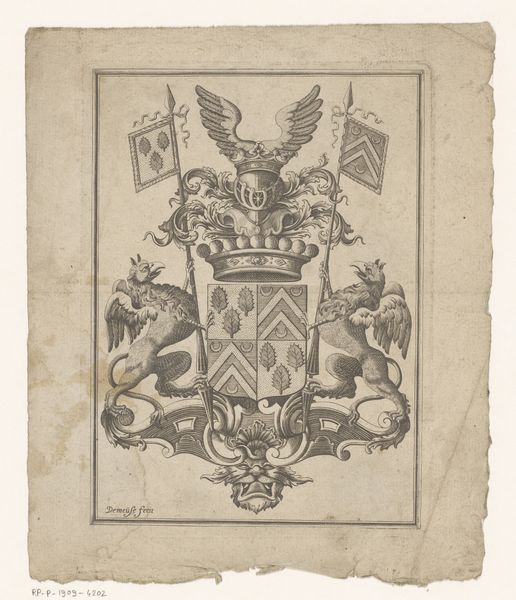
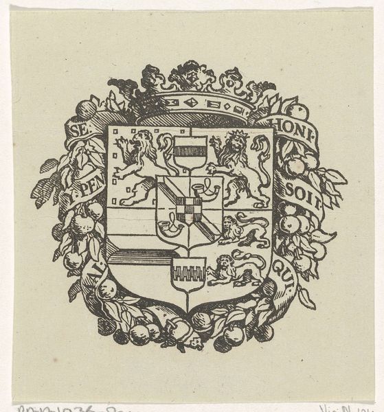
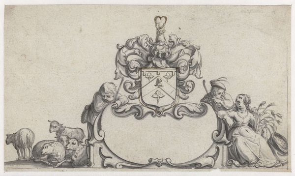
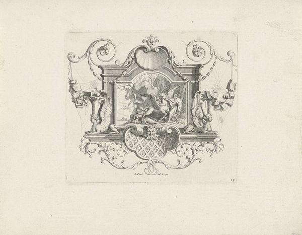
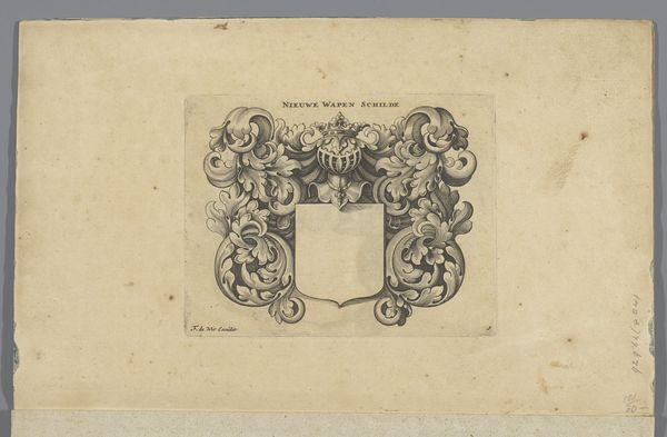
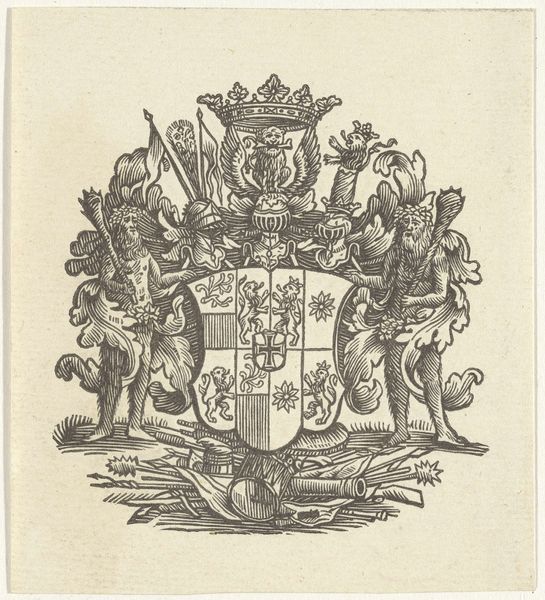
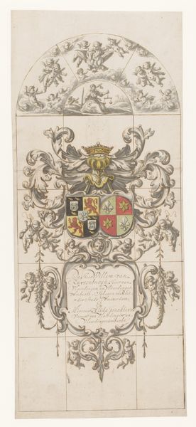
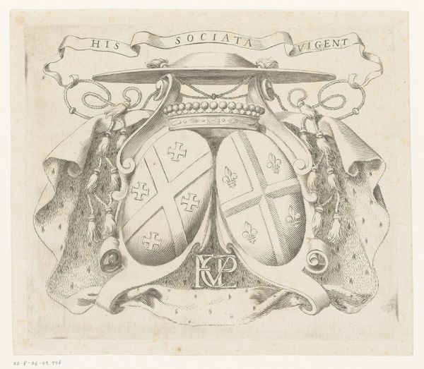
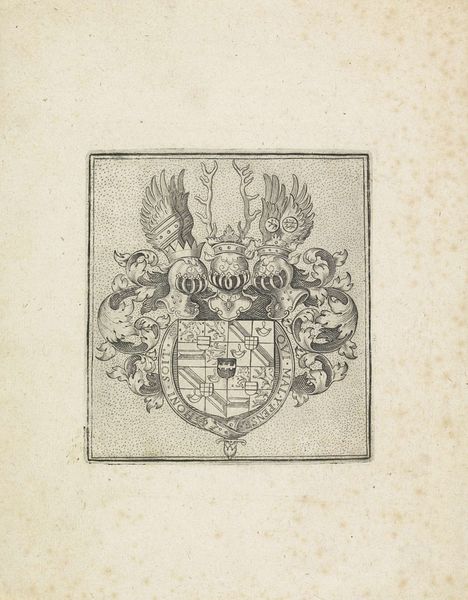
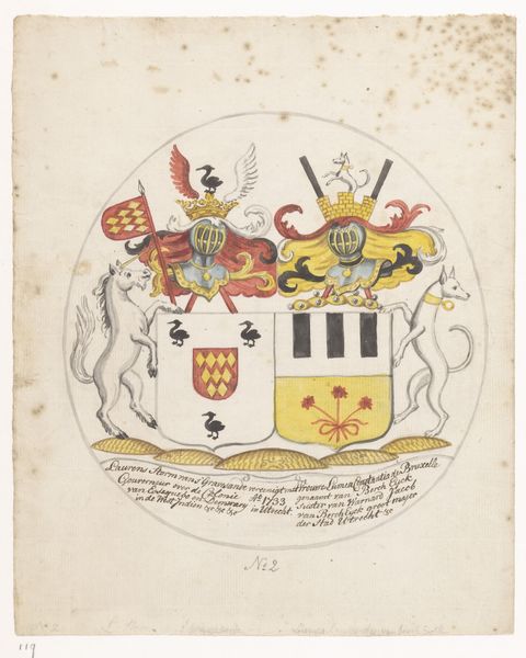
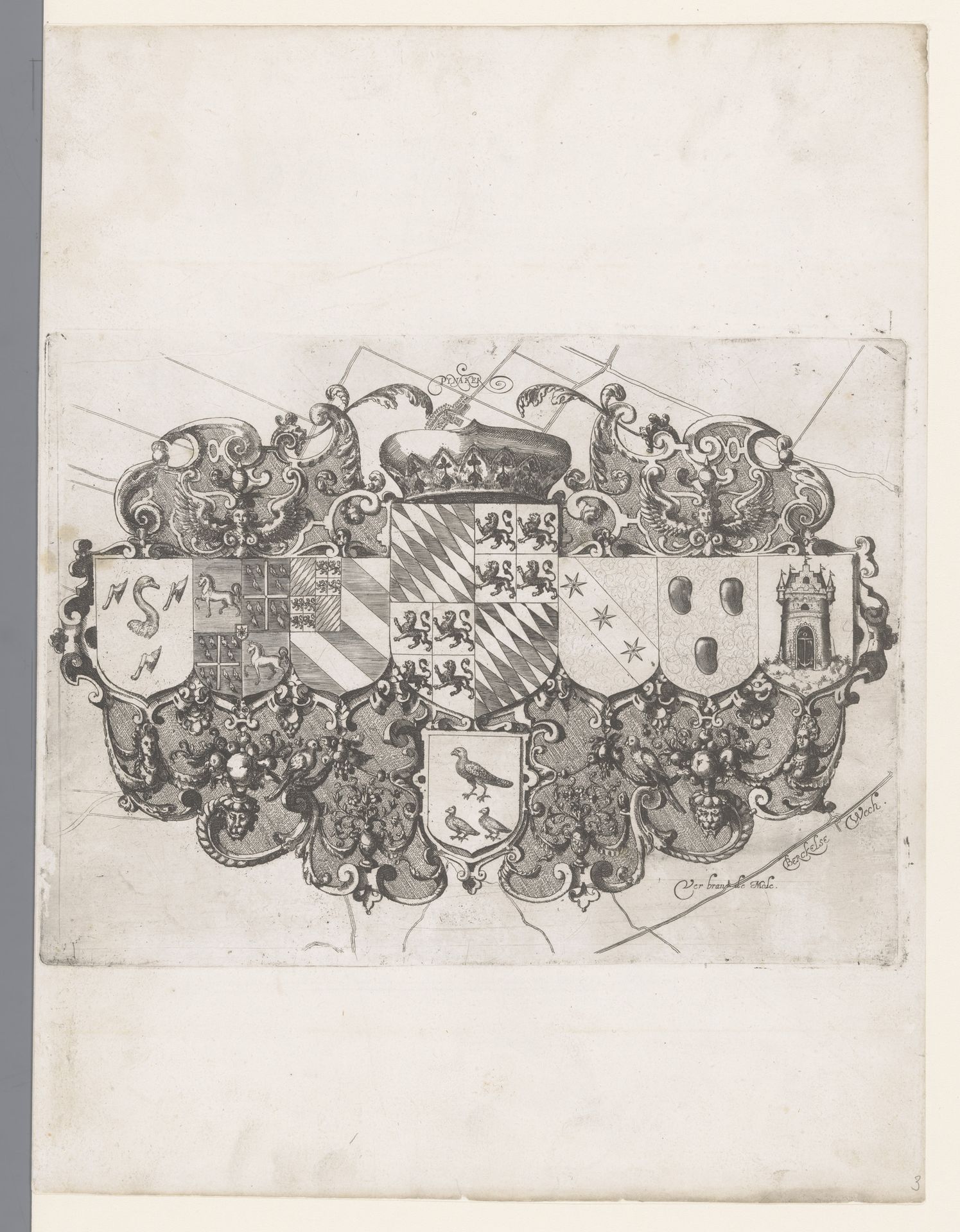
Kaart van het Hoogheemraadschap van Schieland, wapenschilden
Floris Balthasarsz van Berckenrode
1562 - 1616Location
RijksmuseumListen to curator's interpretation
Curatorial notes
This print of the ‘Map of the High Water Authority of Schieland with coats of arms’ was made by Floris van Berckenrode around the turn of the 17th century. It’s an etching, meaning that the design was incised into a metal plate, which was then inked and pressed onto paper. The crisp precision of the lines, combined with the intricate detail of the coats of arms, speaks to the specialized skill required to make such an image. The map isn't just a representation of land; it’s an assertion of power. Coats of arms were crucial symbols in the early modern period. They represented families, institutions, and territories, and declared their status and authority. The production of prints like these was closely tied to the rise of capitalism. They were relatively inexpensive to produce, and could be widely distributed, making them an ideal medium for disseminating information, propaganda, and, of course, asserting social status. So, when we look at this seemingly simple map, we're also seeing a reflection of the social and economic forces that shaped the Dutch Golden Age.