drawing, ink, engraving
#
drawing
#
baroque
#
dutch-golden-age
#
ink
#
cityscape
#
engraving
Dimensions: height 521 mm, width 582 mm
Copyright: Rijks Museum: Open Domain
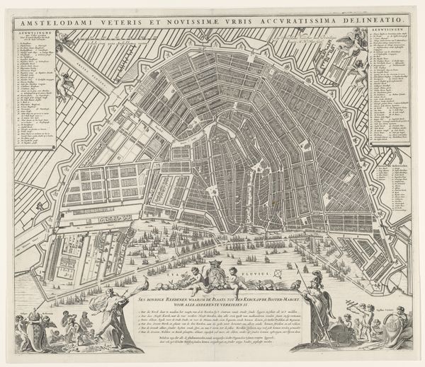
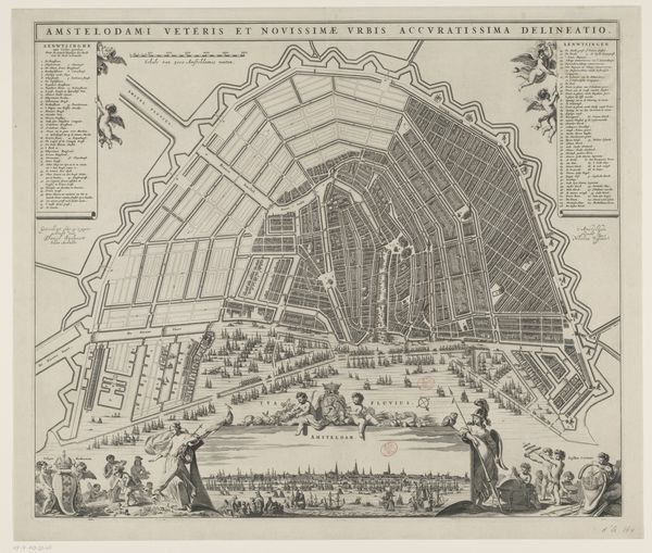
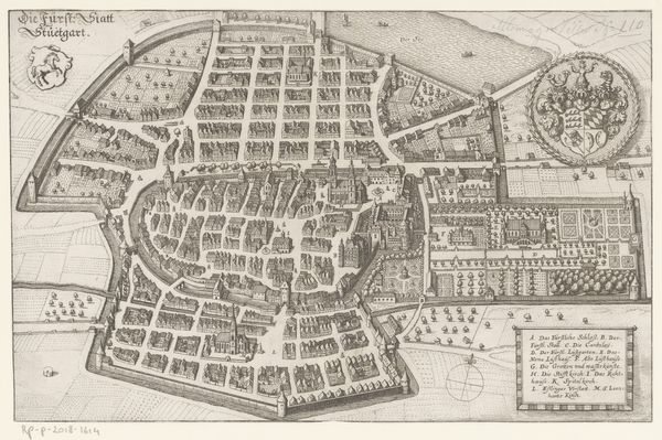
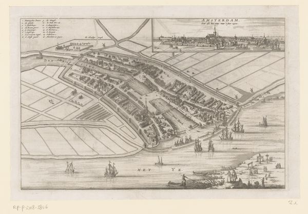
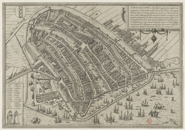
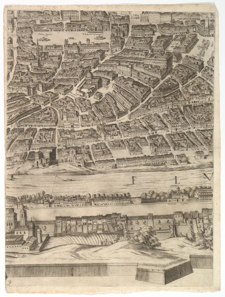
This is a section of Romeyn de Hooghe’s etched map of Rotterdam. The bird’s eye view allows us to see the city as a totality, divided into orderly districts. The work gives visual form to a certain ideal of civic order, control and planning. De Hooghe made this map in the Netherlands, likely sometime between 1690 and 1700, when the Dutch Republic was at its peak as a mercantile empire. We can see, from the ships in the harbor, how central shipping and trade were to the city's identity. The figures at the bottom of the print – Neptune, cherubs, and female personifications of the city – represent the source of the city's wealth, and legitimize it as a social and political power. Historians might consult city archives and guild records to more fully understand the relationship between the city and its artists at this time. By understanding the social conditions that shaped its production, we can better interpret the public role of this art.
Comments
No comments
Be the first to comment and join the conversation on the ultimate creative platform.
More like this